U.S. Southern Command signs partnership agreement with Global Fishing Watch
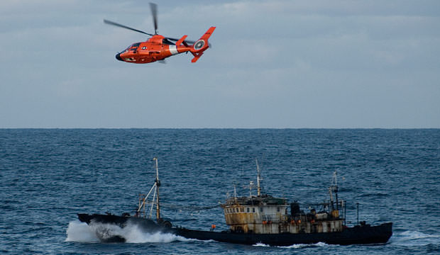
New cooperation aims to harness vessel data and analysis to strengthen maritime surveillance and control in Latin America and the Caribbean DORAL, Fla. – The United States Southern Command (SOUTHCOM) announced today they have entered into an agreement with the international nonprofit organization, Global Fishing Watch (GFW) to help detect, deter and identify illegal, unreported […]
U.S. Southern Command signs partnership agreement with Global Fishing Watch Read More »