Related expert:
 Transparency and technology for better ocean protection
The international community has set a bold target: to protect 30 percent of the ocean by 2030. While a historic commitment to biodiversity, the clock is ticking. With fewer than five years remaining, less than 10 percent of the ocean is designated for protection — and a mere three percent is considered highly protected.
Without transparency and data-driven insights, global commitments are at risk of remaining symbolic. Many marine protected areas (MPAs) fail to safeguard biodiversity in practice because managers or authorities lack the information needed to make informed decisions. Existing only in name , these “paper parks” reflect a growing gap between political commitment and real-world implementation — a gap that can be bridged by transforming satellite imagery, AI analysis, and vessel tracking into actionable intelligence that turns boundaries on a map into true sanctuaries.
This implementation gap is driven by three critical hurdles:
- Hidden activity: Limited visibility of human and vessel activity at sea obstructs accountability.
- The data void: A lack of reliable or accessible data leads to poorly informed decisions and leaves marginalized communities unrepresented.
- Systemic weakness: Without robust monitoring and enforcement systems, maritime regulations remain largely unenforced at sea.

Closing these gaps is as much a social challenge as a technical and regulatory one. Protection works when it is shaped by the very people who depend on it. By providing fishers, coastal communities, scientists and authorities with a shared, transparent view of marine activity, conflict gives way to collaboration. This transparency ensures that protections are designed fairly for everyone affected — and what we can see, we can protect.
A transparent ocean by 2030
Our vision is a healthy, resilient ocean where transparency turns commitments into lasting protection. By combining satellite data, machine learning, open technology, and analysis with our policy expertise, we help governments, researchers and civil society move beyond protection on paper toward durable biodiversity outcomes. We seek to ensure that 30×30 is not just a goal, but a reality that guarantees our ocean is effectively managed, monitored and protected for generations to come.
We use Marine Manager to bring together vessel tracking, environmental and governance data into a single tool for planning, monitoring and adaptive management. But technology alone is not enough. We pair our data and tools with capacity development, technical advisory support and policy engagement to help partners strengthen marine spatial planning, monitoring and enforcement systems over the long term.
To turn transparency into impact, our work focuses on three interconnected pathways.
- Promoting transparency: We provide open-access data and tools that make human activity at sea globally visible.This creates a shared, trusted picture of ocean use and ensures progress toward 30×30 goals is measured by implementation and performance rather than just reported coverage. By making ocean activity visible, we strengthen accountability and make harmful or illegal activity harder to hide.
- Supporting informed designation: We empower governments and partners to design MPAs and other conservation measures using vessel activity, ecological and human pressures’ data and insights. By providing cutting-edge analyses, technical support and opportunities for knowledge transfer, we enable stakeholders to pinpoint conservation priorities, navigate complex trade-offs and define regulatory boundaries that are grounded in science and viable for long-term enforcement.
- Strengthening management and compliance: By embedding AI, remote sensing and satellite data into the routine workflows of ocean regulators, we provide the tools needed to identify illegal entries, evaluate threats and bolster compliance. Our technical advisory support extends to crafting management strategies and building the institutional capacity required to sustain these oversight systems over time. Through this collaboration, we help evolve static boundaries into dynamic, actively managed environments that ensure durable conservation outcomes for marine biodiversity.

Our policy and governance work reinforces all three pathways by embedding transparency, monitoring and accountability into the rules that govern ocean use — from site-level management plans and national policies to regional fisheries measures and global frameworks such as the Convention on Biological Diversity and the High Seas Treaty. Working through these instruments to anchor data-driven insights into global governance, we foster more durable protection outcomes for future generations.
Our ambition is to help transform political commitments into measurable impact, ensuring that 30×30 is not just a target on paper, but a reality that delivers effective, enduring protection for the ocean and the communities that depend on it.

Marine Manager: A platform for ocean protection in practice

At the center of this work is Marine Manager, a technology portal co-founded by Dona Bertarelli that brings together vessel tracking and environmental data into a single tool for planning and monitoring MPAs and other area-based conservation measures. To date, Marine Manager visualizes more than 10 million square kilometers of ocean, accomplishing in hours what used to take months.
Our data and tools are already informing marine protection at scale, contributing to the designation of protected areas covering more than 2.1 million km² of ocean across eight countries and 16 sites. We provide ongoing monitoring and management support in 15 countries covering approximately 15 percent of the global EEZ. The power of Marine Manager is harnessed by over 20,000 users and more than 15 governments and regional bodies. In 2025 alone, these users generated approximately 3,500 activity reports with information on over 1,500 vessels.
Working at the scale of ecosystems
Ocean ecosystems do not follow national borders — effective protection requires coordination and transboundary cooperation. We focus on large, interconnected and multiple-use areas of ocean called seascapes, where biodiversity, fisheries and governance systems intersect. In these vast oceanic areas, we deliver a comprehensive package of tools, analysis, capacity development and policy support to strengthen the monitoring, management and enforcement of MPAs, working alongside a broad network of regional and local partners.
We also collaborate with organizations such as Blue Nature Alliance, Pew Bertarelli Ocean Legacy, Waitt Institute, National Geographic Pristine Seas and WildAid to support marine protection and designation efforts through data, analysis and technology that improve the transparency, monitoring and long-term implementation of ocean conservation measures.
Protection beyond borders: Two-thirds of the ocean lies beyond any single country’s jurisdiction. The High Seas Treaty finally offers a legal path to protect our global commons. But without transparent and accountable implementation, new designations risk becoming no more than paper parks. Our work brings industrial activity across these waters out of the shadows, ensuring protected areas, once designated, can be effectively monitored and held accountable. Because the high seas are a shared space, the knowledge of what happens there should be too. That is why our data and tools are free and open to any government, organization or individual.
Seascapes in focus
Brazilian coastal and offshore systems
Enhance transparency and monitoring in coastal and offshore marine protected areas to safeguard biodiversity and track conflicts between human activities, fishing and vulnerable ecosystems.

FEATURED SPECIES
Humpback Whale
Megaptera novaeangliae


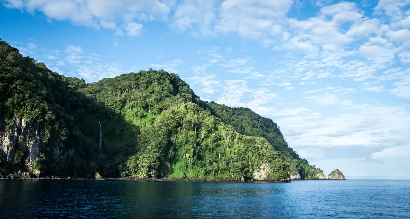
Eastern Tropical Pacific Marine Corridor
Advance cross-border transparency and regional cooperation to strengthen monitoring, control and surveillance across marine protected areas.

FEATURED SPECIES
Hammerhead Sharks
Sphyrna lewini
Humboldt Current
Improve monitoring and enforcement in the heavily fished waters of Chile and Peru to protect biodiversity and promote sustainable management.

FEATURED SPECIES


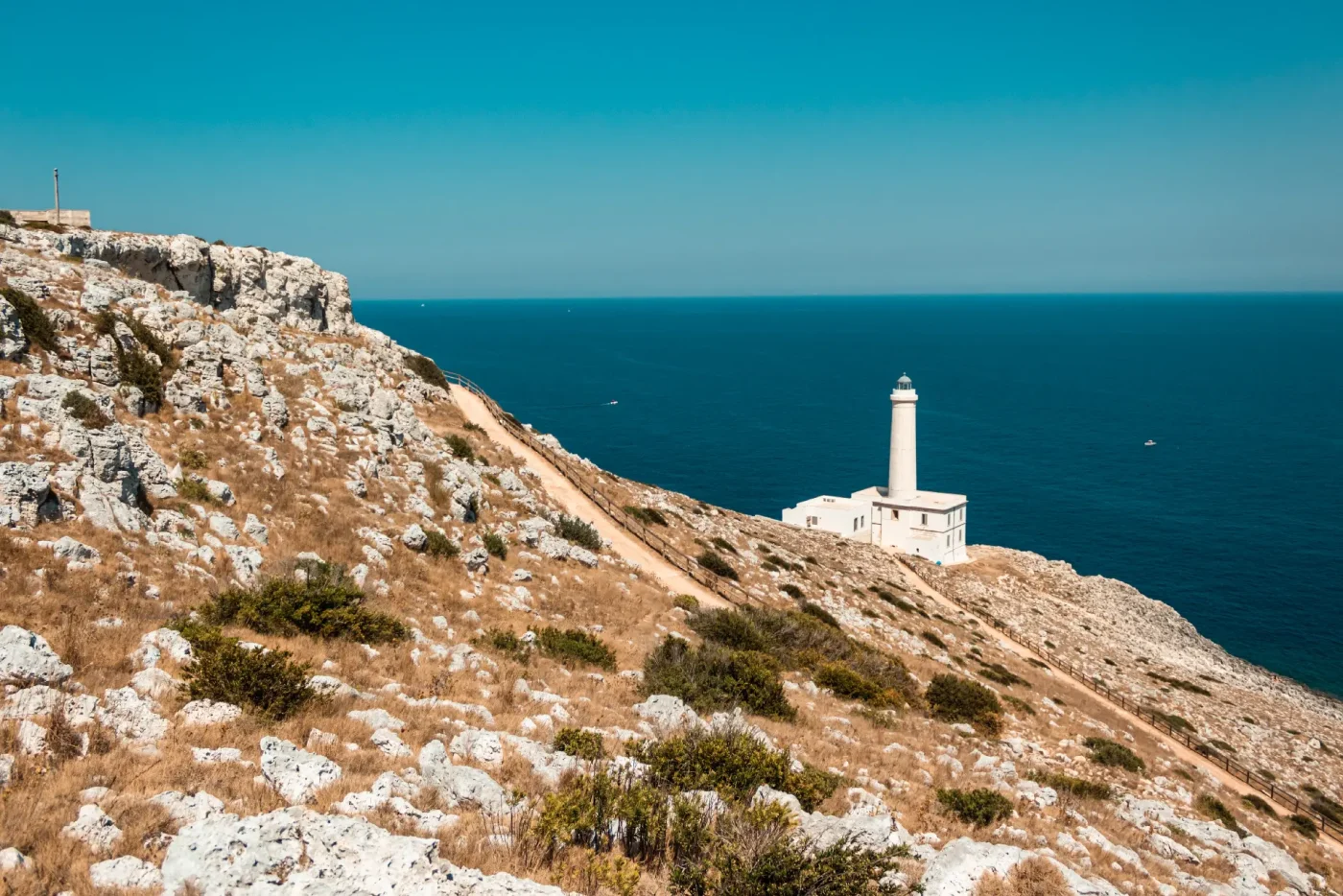
Mediterranean Sea
Enhance vessel monitoring to protect vulnerable habitats from bottom trawling and protect vulnerable ecosystems.

FEATURED SPECIES
Orange Coral
Astroides calycularis