

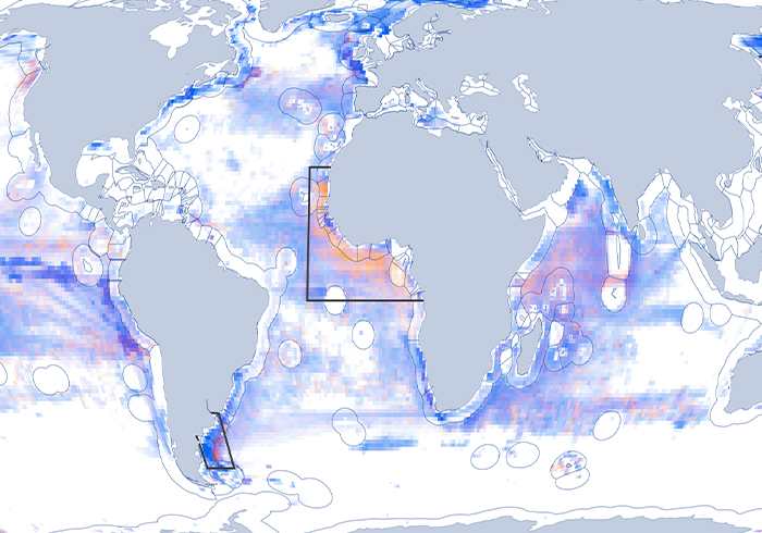

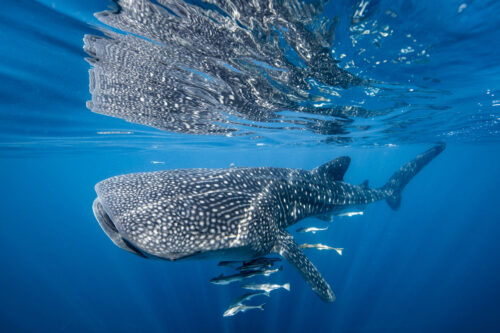
Satellite Technology Can Reveal Collision Risks for Whale Sharks
Global Fishing Watch data helps researchers link shipping traffic to whale shark fatalities The whale shark is the world’s largest fish, with adults weighing up to 5,000 pounds and reaching up to 20 meters in
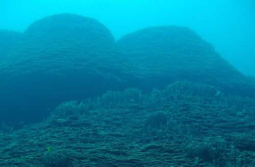
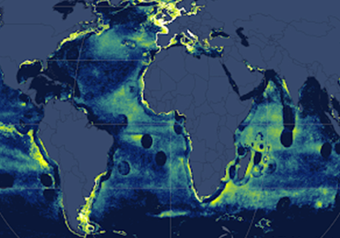
Satellite Data Casts Light on Seamounts at Risk
Emerging tools and datasets help quantify fishing pressure and can inform management at remote, unmonitored seamounts Seamounts—large underwater mountains— hold vital biological diversity, but they also contend with heavy exploitation. Numbering in the tens of
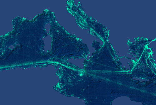
New Techniques Reveal Fishing Vessel Identities in the Dark of Night
New Global Fishing Watch technology merges nighttime images with GPS datasets to observe vessels not broadcasting their positions When the sun sets, human activity on the ocean goes on. And every night, satellites snap a
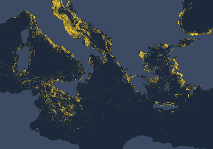
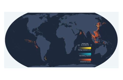
A Radar-Illuminated Ocean Reveals Dark Fleets
Satellite radar imagery is lighting up our view of previously unseen fishing patterns around the world Last week, we announced the winners of the xView3 contest to use satellite radar imagery and artificial intelligence to