Projects
Ports and Voyages
Identifying maritime supply chains and supporting risk assessment
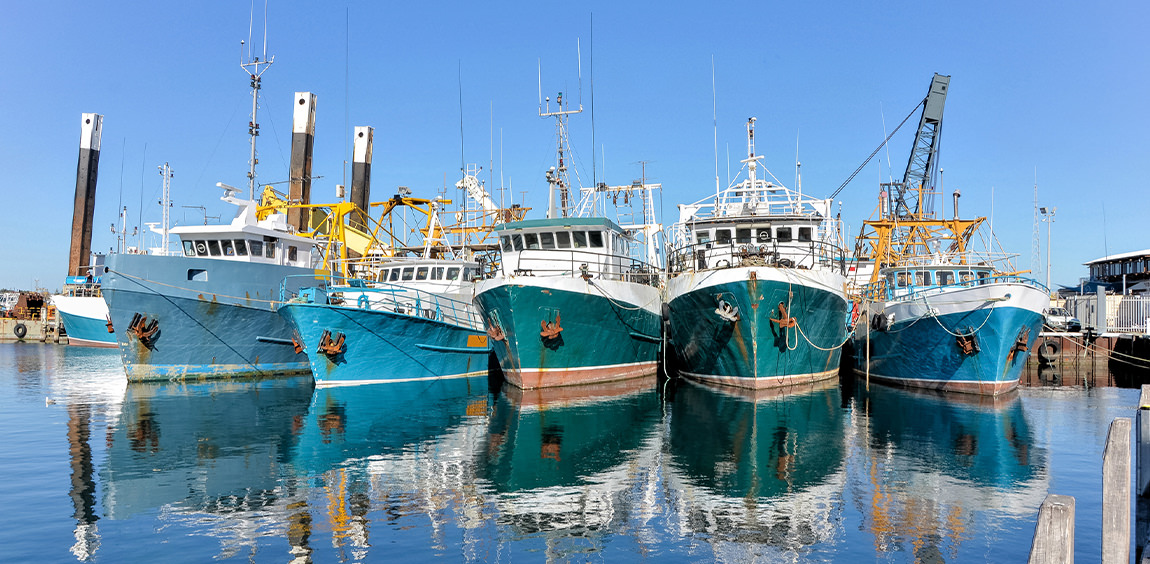
All catch must be landed before entering seafood markets, making port facilities critical hubs in global supply chains. Ports are also where most monitoring and inspection takes place, and such monitoring is one of the key ways to address global challenges ranging from forced labor and human trafficking to invasive species to illegal, unreported, and unregulated fishing. By identifying the ports that vessels visit—and their activities during the intervening voyages—we provide unprecedented insight into maritime supply chains and support efforts to assess risk of illegal or unsustainable activity.
Gaps in data
Globally there are few open-access ports databases and those that do exist often prioritize large commercial cargo ports over facilities that might be more frequently visited by smaller vessels, such as fishing vessels. To map the global movement of all vessels, a new open-source dataset of ports and voyages is needed.
Mapping vessel anchorages
Using our global feed of automatic identification system (AIS) data, Global Fishing Watch analyzes where all AIS-carrying vessels anchor. By automating the labeling and clustering of these anchorages, we are able to generate a global dataset of vessel voyages, pinpointing each time a vessel using AIS has entered or exited a port since 2012. Available to everyone with a computer at no cost, this information can quantify port usage and shifts in usage at the vessel level. We can identify networks of interrelated vessels and ports, and produce voyage-level historical reports of a vessel’s activity at sea, then provide those reports to port authorities to inform their decision making.
Recent Work
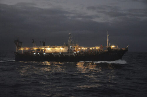
Rise in Unregulated Squid Fishing Poses Challenges—and An Opportunity
Highly mobile fisheries present more possibilities for data-driven approach to inform regulation.
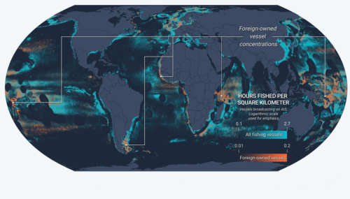
New Fusion of Global Datasets Advances Understanding of Vessel Identity and Activity
Novel research provides new tool to improve global fisheries oversight Illegal, unreported and unregulated (IUU) fishing accounts for up to $23.5 billion every year and is enabled by vessels frequently changing their name, flag State
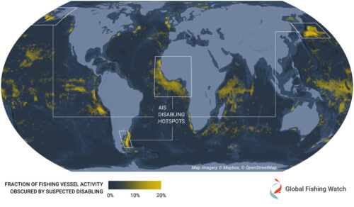
Hotspots of Unseen Fishing Vessels Illuminate Areas of Concern for Illegal, Unreported and Unregulated Fishing
New study provides first global dataset examining intentional disabling of automatic identification system devices across commercial fisheries The ocean is vast and ship crews rely on several tools to navigate it safely. One of these
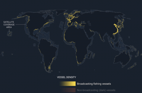
Emerging technology gives first ever global view of hidden vessels
Satellite radar and machine learning publicly reveal previously unseen vessel activity around the world Washington, D.C. – Global Fishing Watch has developed and publicly released the first ever global map of previously undetected dark fleets,