Emerging tools and datasets help quantify fishing pressure and can inform management at remote, unmonitored seamounts
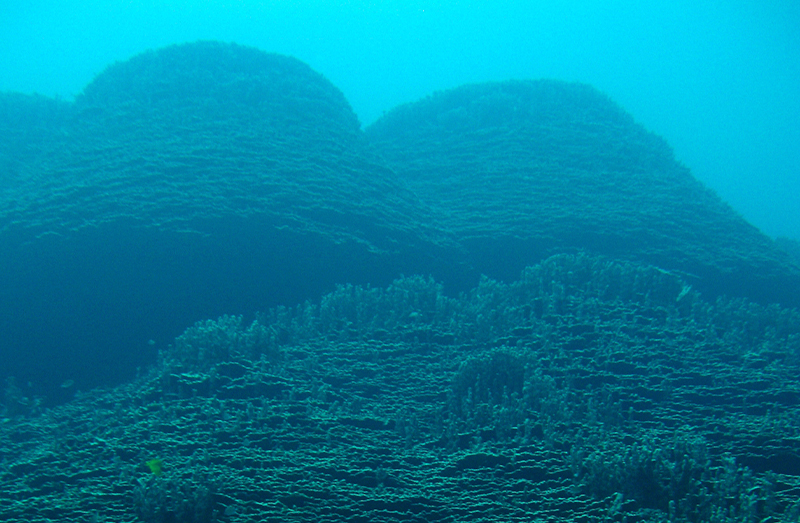
Seamounts—large underwater mountains— hold vital biological diversity, but they also contend with heavy exploitation. Numbering in the tens of thousands across vast stretches of the high seas, they have been favored targets for longline and deepwater trawl vessels. And due to the sheer scale of the waters involved, comprehensive study of fishing activity on these submerged structures has been virtually impossible.
Now, with satellite data made easily available to the public through tools like the Global Fishing Watch map and datasets, researchers can study fishing pressure and measure the risks to these vulnerable areas on a global scale.
Chris Kerry and Dr. Matthew Witt, researchers at the University of Exeter in the U.K., used Global Fishing Watch data to create the first global study of fishing activity at seamounts and identify priority areas for improved management. This work is outlined in their recent paper, “Monitoring global fishing activity in proximity to seamounts using automatic identification systems,” published Feb. 18, 2022 in Fish and Fisheries. We sat down with Chris for a conversation about his latest research, following up from his previous work.
This interview has been edited for clarity and length.
Q: Historically what kind of fishing activity have we seen take place around seamounts and how has this led to the current situation?
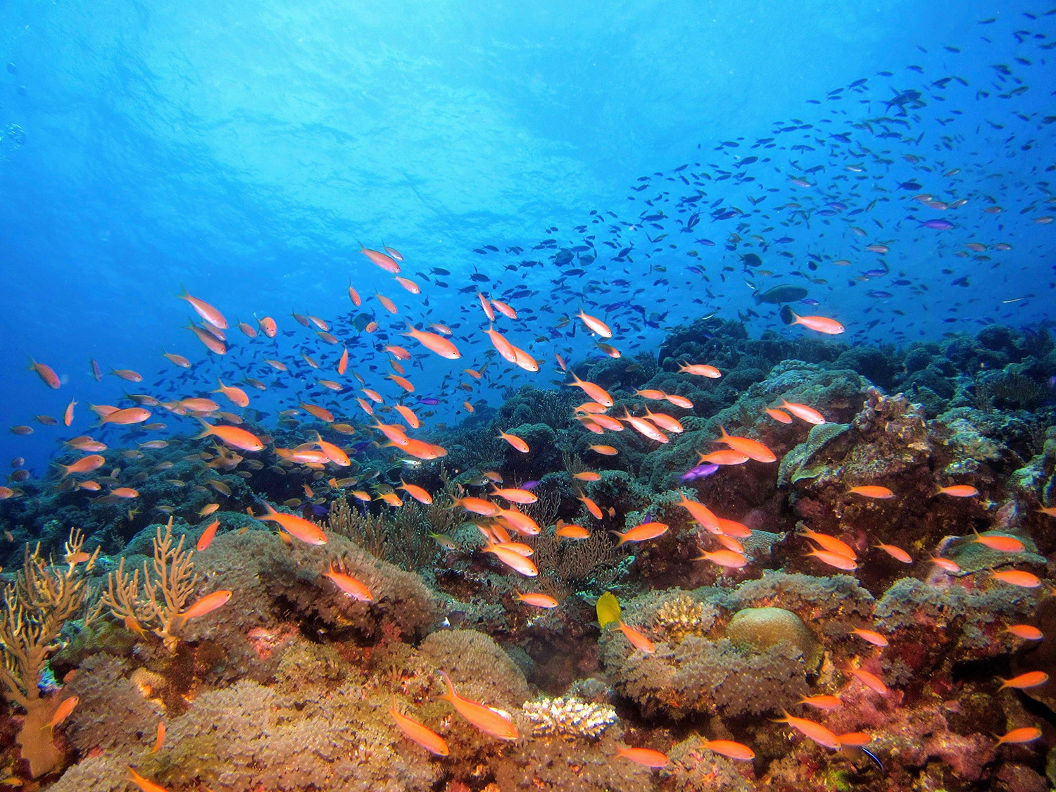
A: Seamounts have been heavily targeted when it comes to fishing and they are prone to species collapse—a lot of their residents are slow-growing and don’t reproduce frequently. Global catch at seamounts has been conservatively estimated at three million tons per year. Because they support so much biodiversity, they act almost like natural fish aggregating devices, but fishing there is an unpredictable enterprise, with a lot of variation in annual catch. This is largely due to unsustainable management whereby the rate of exploitation outpaces replenishment. Consequently, many seamounts are no longer able to support viable commercial fisheries due to historical depletion. This forces fleets to explore more distant seamounts causing rapid depletion of biodiversity over large spatial scales. So unfortunately, seamounts can face an uphill battle to recovery, especially when we’re lacking data to fully understand the damage that’s been done.
Q: Before your study, how much was known about fishing activity around seamounts and how did that impact management?
A: This study is the first global assessment of fishing activity at seamounts. There are approximately 38,000 of them in our ocean. About 22,000 seamounts are found on the high seas, where it’s harder to establish management protocols because it takes international collaboration. Consequently, only two percent of high seas seamounts have any protection afforded to them.
There have been previous assessments of seamounts in specific geographic areas in New Zealand and the Azores. Another study researched species diversity and found it increased within 30 kilometers of seamount summits. But because most seamounts are remotely located in the high seas, studying fishing activity around them was extremely challenging until recent advances in remote sensing technology.
Q: How was Global Fishing Watch data used in your study and how did it change your approach to the research?
A: We used Global Fishing Watch gridded fishing effort data generated from the automatic identification system (AIS) to quantify fishing activity within 30 kilometers of each seamount summit. Because fishing activity was differentiated by gear type, it allowed us to create separate analyses for longlining and trawling. The gridded fishing effort data also allowed us to assess gear type usage by flag State and compare the types of management areas used by different flag States to target seamounts.
We would never have been able to undertake a global assessment without Global Fishing Watch data. Many of these seamounts are in the middle of the ocean and inaccessible. Being able to study them remotely through AIS data is a game changer.
Q: What are the main takeaways from your research?
A: We identified the top 100 seamounts for fishing activity globally, spread out across the Indian, Atlantic and Pacific oceans. Our findings identified two main hotspots in fishing activity and suggest priority areas for improved seamount management. The data is eye-opening. The Mediterranean basin represents 0.5 percent of the seamount area, but 40 percent of trawling activity on seamounts. The Pacific islands support 17 percent of seamount area, but 37 percent of longlining activity on seamounts. So some regions have been heavily impacted compared to others.
We also analyzed fishing on seamounts within exclusive economic zones (EEZs). We found that the highest impacted EEZ belongs to Guinea Bissau, with fishing activity occurring on seamounts at an order of magnitude greater than any other EEZ. There are a low number of seamounts there, but they are heavily fished. Of the top 10 EEZs fished worldwide, five were in the Atlantic and were mostly fished by trawlers. The other five were in the Indian and Pacific oceans and were mostly fished by longliners.
Q: How can an increased understanding of fishing activity around seamounts help create better policy?
A: Managers need to know which seamounts to target with improved policy, but with so few seamounts having been surveyed, the challenges ahead of us are very real. Once we identify which seamounts are most vulnerable, we can prioritize where to focus surveying. Our end goal is to support a cohesive strategy among regional fisheries management organizations (RFMOs) and a strong, legally binding instrument for high seas management on a global scale.
Chris Kerry is a researcher pursuing his Ph.D. in marine conservation science at the University of Exeter in the UK.