Projects
Offshore Infrastructure
Revealing the footprint and global growth of infrastructure in the ocean
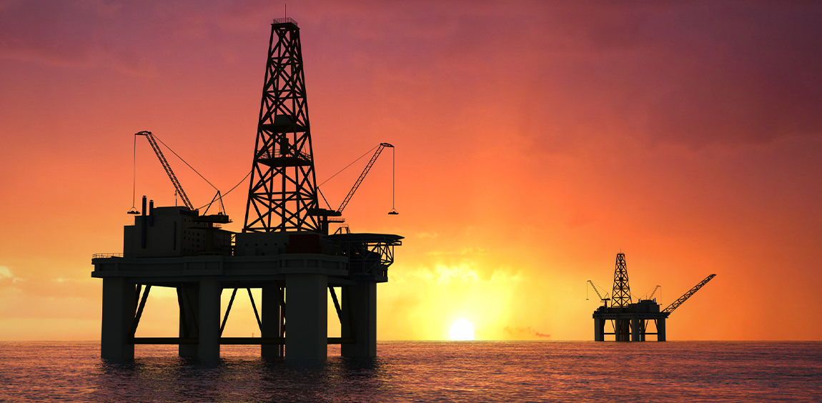
Human pressure on the world’s ocean—known as the blue acceleration—is increasing at an unprecedented rate. Global Fishing Watch is mapping all offshore infrastructure around the globe with satellite-based synthetic aperture radar (SAR) imagery and deep learning to assess the global growth of industrial infrastructure in the ocean. We detect and classify human-made stationary objects at sea such as oil platforms, wind turbines and fish cages, bringing new light to impacts on our marine world.
Activity without measure
The rapid industrialization of the ocean mirrors the early stages of activities that have triggered mass extinctions on land. The need to keep up with the increasing demand for oil production, and the search for clean and green energy sources, has led to an accelerated expansion of offshore infrastructure. Development of oil rigs, wind farms, wave power systems and open water aquaculture is ramping up around the world with enormous ecological consequences in some cases. The global extent of marine and air pollution associated with these activities is poorly known, partly because records of the spatial distribution of most of these structures are incomplete, and for the most part this data is held privately. This limits access to information by those who manage the ocean and hinders our ability to take action.
“Seeing” with radar
We are developing a global ocean detection system using radar satellites to map the evolution of fixed infrastructure at sea. Our approach is based on the powerful Google Earth Engine platform to analyze petabytes—millions of gigabytes—of Sentinel-1 synthetic aperture radar imagery and detect stationary objects at sea, combined with a state-of-the-art convolutional neural network to classify the type of structure. A unique feature of our detector is the ability to construct time series of fixed infrastructure presence, allowing us to monitor offshore structures around the world as they are being developed, as well as monitor the seasonal variation of human activities such as aquaculture. Our data pipeline automates the processing and analysis of massive streams of SAR imagery. We detect tens of thousands of structures per month and will analyze the full archive of Sentinel-1 SAR imagery to make this information freely available. This unique spatiotemporal dataset of objects at sea will allow us to quantify the development of human-made oceanic structures at global scale for the first time. We will soon open source our detection system and freely distribute this novel data ready for analysis.
Recent Work
Rise in Unregulated Squid Fishing Poses Challenges—and An Opportunity
Highly mobile fisheries present more possibilities for data-driven approach to inform regulation.
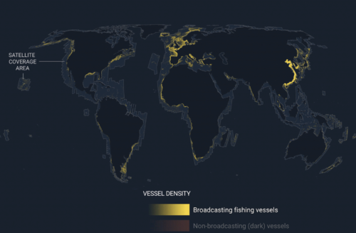
Emerging technology gives first ever global view of hidden vessels
Satellite radar and machine learning publicly reveal previously unseen vessel activity around the world Washington, D.C. – Global Fishing Watch has developed and publicly released the first ever global map of previously undetected dark fleets,
International Organizations Launch Collaborative Initiative in Fight Against Illegal Fishing
The Joint Analytical Cell aims to bolster fisheries monitoring, control and surveillance Costing the global economy billions of dollars in lost revenue each year, illegal, unreported and unregulated (IUU) fishing is impacting the health
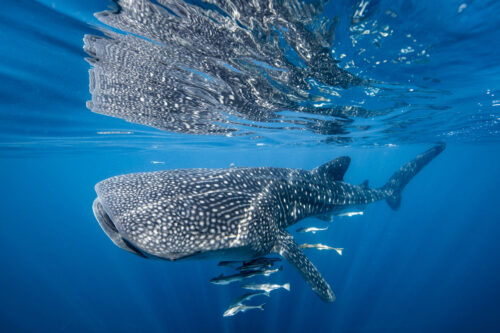
Satellite Technology Can Reveal Collision Risks for Whale Sharks
Global Fishing Watch data helps researchers link shipping traffic to whale shark fatalities The whale shark is the world’s largest fish, with adults weighing up to 5,000 pounds and reaching up to 20 meters in