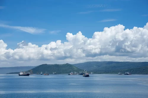
Global Fishing Watch welcomes partnership with Papua New Guinea to share vessel tracking data
Momentum builds as a second nation in the Pacific makes critical decision to make fishing activity data accessible and transparent In a newly established partnership with Global Fishing Watch, Papua New Guinea has committed to
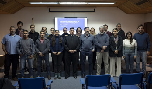
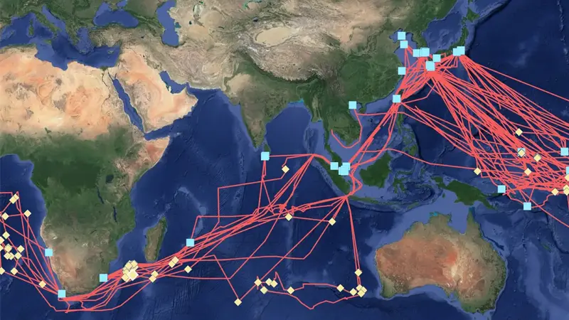
In Latin America, Training Helps Governments to Discover Suspicious Behavior
Global Fishing Watch reinstates in-person training with partners to strengthen the use of technology in support of responsible ocean management Lack of available information on global and regional fishing activity is one of the biggest
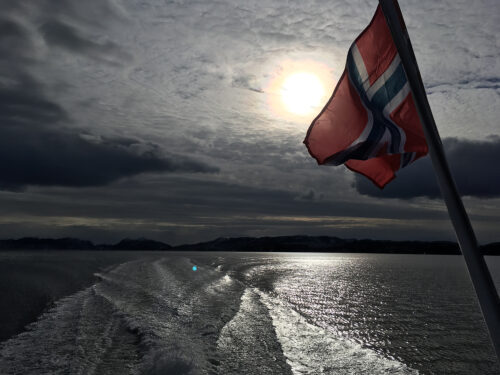
Norway makes fishing vessel data accessible to the world
Norway to become first European nation to share its vessel tracking information on Global Fishing Watch map Lisbon, Portugal – Norway has become the first country in Europe to partner with Global Fishing Watch—an international nonprofit
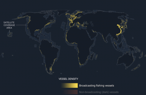
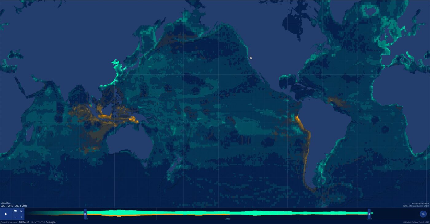
Emerging technology gives first ever global view of hidden vessels
Satellite radar and machine learning publicly reveal previously unseen vessel activity around the world Washington, D.C. – Global Fishing Watch has developed and publicly released the first ever global map of previously undetected dark fleets,