Commercial Fishing
Commercial fishing is the most widespread human activity at sea. Defined as the for-profit practice of catching fish or other marine life by commercial fishing boats, its impact goes far beyond ocean health and the management of fish populations. Commercial fishing is essential in supporting the global livelihoods of nearly 60 million people who are directly employed in the fisheries and aquaculture sector, as well as ensuring food security for more than 3 billion people who rely on seafood as their primary source of protein. Underlining the significance of commercial fishing is the nearly $150 billion in global seafood exchange that takes place each year—the most valuable traded food commodity in the world.
The challenge
Commercial fishing is a vital part of the global economy and is crucial to the food security and cultural identity of millions of people. The long-term sustainability of our fisheries resources not only depends on the effective monitoring of fishing operations but also the ability to determine whether fishing activities are both legal and verifiable.
Overfishing and illegal, unreported and unregulated (IUU) fishing are major threats to the sustainability of fish populations and other marine resources. According to the Food and Agriculture Organization of the United Nations, some 91-93 million tonnes of fish are caught globally each year, with about one-third of the world’s fisheries currently overfished and some 60 percent fished to capacity. IUU fishing is the sixth-largest global crime, accounting for up to 1 in every 5 fish caught at sea and estimated to be worth as much as $23.5 billion a year.
Historically, commercial fishing has been difficult and costly to monitor, but technology and transparency are driving tangible change in how the sector is managed.
How we are illuminating commercial fishing
Traditional methods of fisheries monitoring are critical for effective management, but they can be costly and time-intensive. Recent advances in satellite technology and machine learning offer powerful, scalable tools that can complement and expand current approaches to provide cost-effective solutions. Global Fishing Watch is harnessing innovative technology to turn transparent data into actionable information and drive tangible change in the way the ocean is governed.
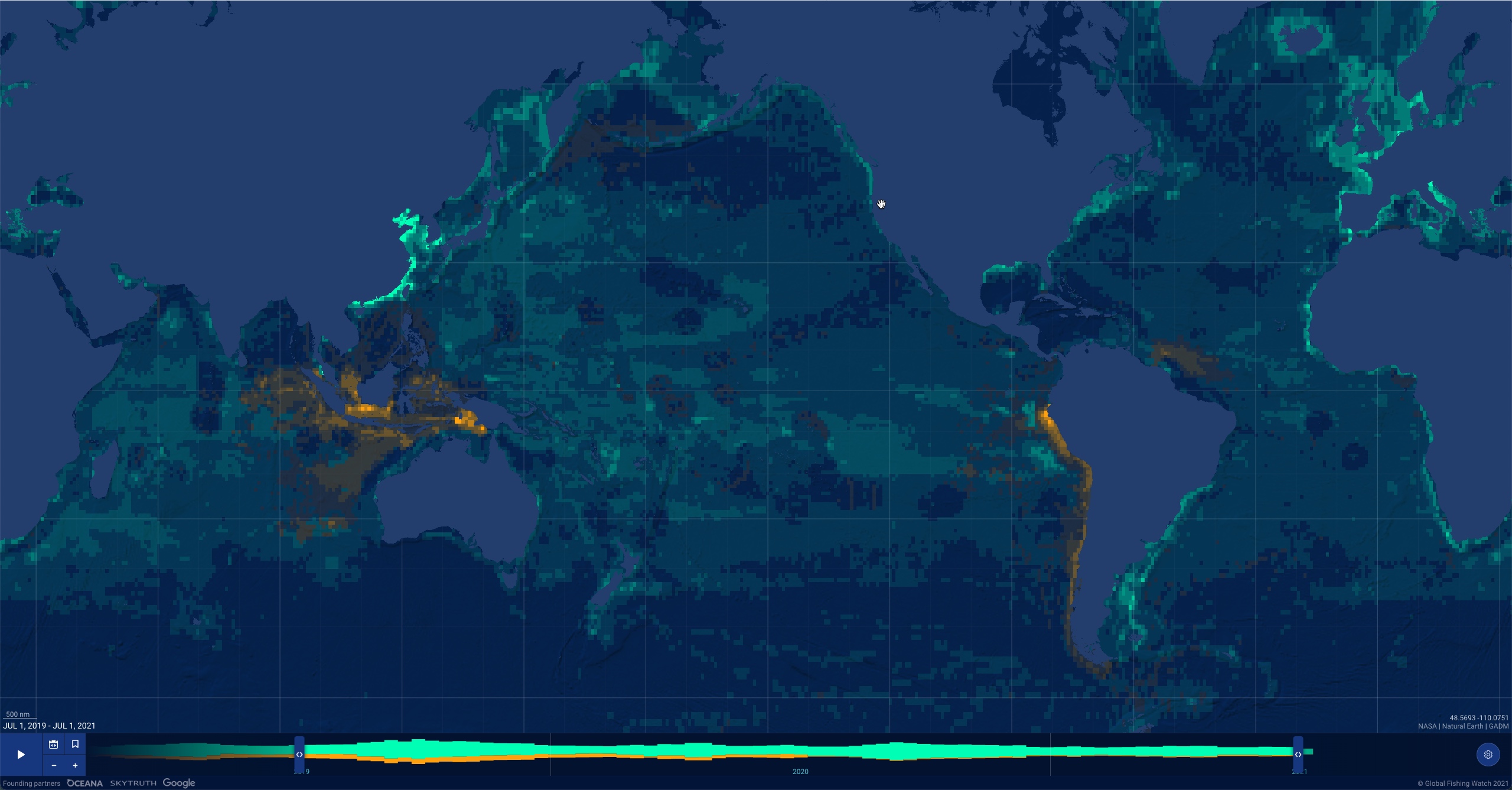
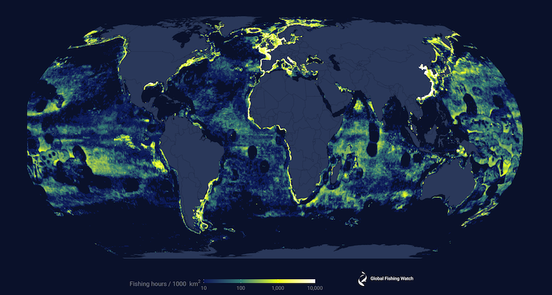
Using satellite technology and machine learning, the Global Fishing Watch map synthesizes information from various data sources to generate a clear picture of where, when and how a vessel is fishing. Through rigorous research and analysis we are providing the first ever comprehensive view of the global commercial fishing fleet. By making this data publicly available to everyone, for free, we aim to support fisheries management and facilitate a culture of compliance.
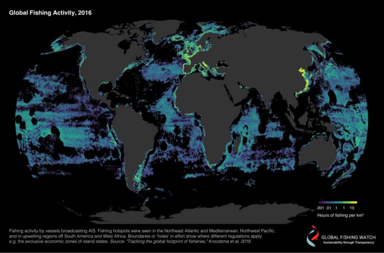
In 2018, we published the first ever high-resolution map of global fishing activity. Our findings revealed that commercial fishing takes place across more than 55 percent of the ocean—a footprint, by area, greater than four times that of agriculture.
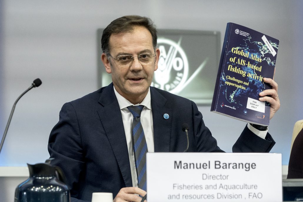
We partnered with the Food and Agriculture Organization of the United Nations to release the Global Atlas of AIS-based Fishing Activity, which analyzes the opportunities and challenges pertaining to the use of automatic identification system data to monitor fishing activity around the globe.
Research
We partner with over 10 research institutions to apply our data to answering the most pressing questions in fisheries science.
Analysis
We provide analysis that translates data and technology into insights and evidence that can help coastal and under-resourced States better understand fishing activity and improve governance.
Transparency
We work with governments to make fishing vessel tracking publicly available, supporting equitable and free access to information that can help the ocean community conduct research, develop policy and manage resources.
Our map and data
We use multiple datasets to determine when and where apparent fishing activity is occurring globally and make that information available to download or view.
Recent Work
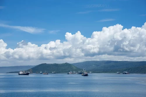
Papua New Guinea Leverages Global Fishing Watch Data in Fight Against Illegal Fishing
Combatting illegal fishing: the threat to sustainable ocean future. Learn about the impacts of IUU fishing and its toll on fish stocks and coastal communities.

Navigating Change: Panama’s Acceleration Toward Fisheries Transparency
As Panama’s new government takes office, its strengthened commitment to ocean management is building a new wave of momentum Political cycles are almost always accompanied by uncertainty. New leaders, new initiatives and new priorities forge
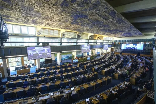
Three Key Actions that FAO’s Committee on Fisheries Must Take for a Sustainable Ocean
COFI36 is set to tackle our ocean’s most pressing challenges — from IUU fishing to environmental degradation. But prompt action on greater transparency should be top priority. Opening of the 35th Session of the Committee

Global Fishing Watch responds to the 2024 State of World Fisheries and Aquaculture (SOFIA) report
According to the 2024 SOFIA report, our ocean’s future hangs in the balance. Chief Program Officer, Paolo Roberto Domondon, argues that greater transparency can drive decisive action. The 2024 State of World Fisheries and Aquaculture
