Projects
Detection of Fishing Impacts
Better models to evaluate ocean harvest
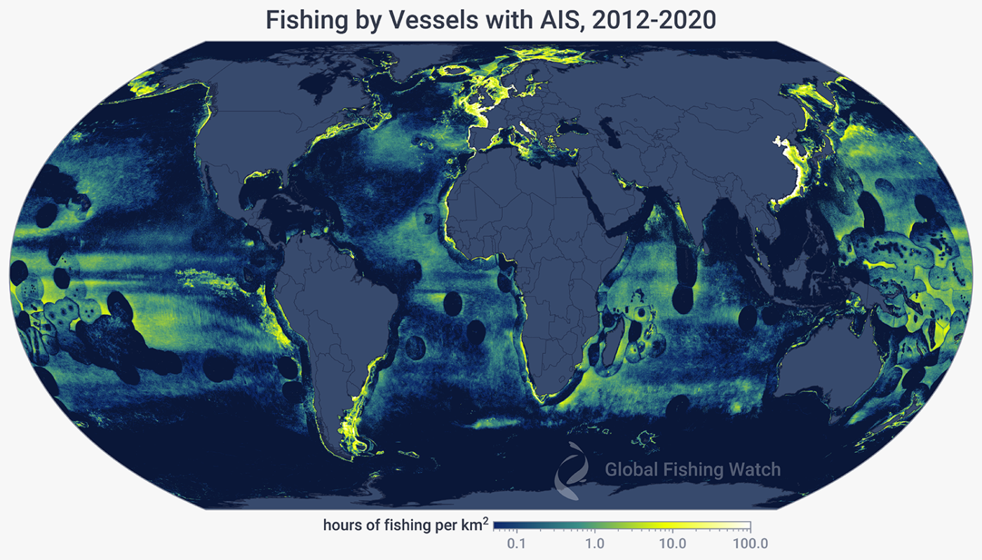
Algorithms can help determine when and where vessels are fishing. When we apply them to vessel movement data, we can more accurately assess fishing activity and help decision makers manage global fisheries more equitably and sustainably.
A truer measure of fishing costs
The Food and Agriculture Organization of the United Nations estimates that over a billion people rely on fish as their primary source of protein. To truly understand the impact of fishing at this scale and better direct conservation efforts, we need to measure the presence and intensity of fishing activity around the globe.
Data from the automatic identification system (AIS) provides detailed tracks of tens of thousands of fishing vessels. However, this data only reveals fishing vessel presence. For an accurate assessment of impact, we need to more completely characterize fishing activity and differentiate it from non-fishing activity. There are many knowledge gaps to fill, such as impacts by fishing gear type, seabird bycatch during line-setting and ocean floor habitat disturbance by bottom trawling vessels. To better understand the problems and potential solutions, it is important to more closely measure where, when and how much fishing occurs, particularly with high-impact gear types.
Connecting the dots on fishing activity
To differentiate vessel activity, we developed a model using a convolutional neural network—an algorithm for arranging imagery and data—that classifies each AIS position as either fishing or not fishing for an accurate representation of global fishing activity. To address the need for detailed classification of fishing behavior, we also developed a specialized model that estimates where and when a longline vessel is starting and finishing its set, haul and transit activity. This information can be used to inform management measures and help monitor compliance. We are developing similar models for bottom-trawl fishing and pilot projects are in progress using alternative technology solutions to track small-scale fishing vessels that do not broadcast AIS.
Research Lead
Contributing Team
Papers
Datasets
Recent Work
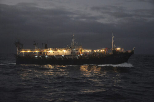
Rise in Unregulated Squid Fishing Poses Challenges—and An Opportunity
Highly mobile fisheries present more possibilities for data-driven approach to inform regulation.
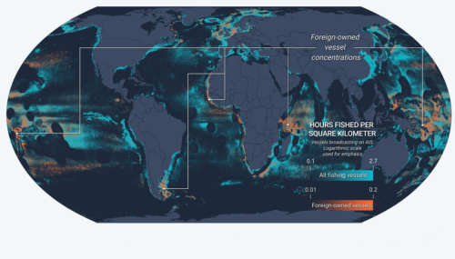
New Fusion of Global Datasets Advances Understanding of Vessel Identity and Activity
Novel research provides new tool to improve global fisheries oversight Illegal, unreported and unregulated (IUU) fishing accounts for up to $23.5 billion every year and is enabled by vessels frequently changing their name, flag State
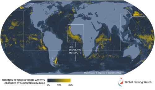
Hotspots of Unseen Fishing Vessels Illuminate Areas of Concern for Illegal, Unreported and Unregulated Fishing
New study provides first global dataset examining intentional disabling of automatic identification system devices across commercial fisheries The ocean is vast and ship crews rely on several tools to navigate it safely. One of these
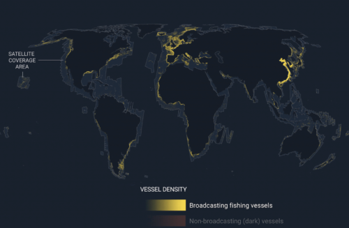
Emerging technology gives first ever global view of hidden vessels
Satellite radar and machine learning publicly reveal previously unseen vessel activity around the world Washington, D.C. – Global Fishing Watch has developed and publicly released the first ever global map of previously undetected dark fleets,