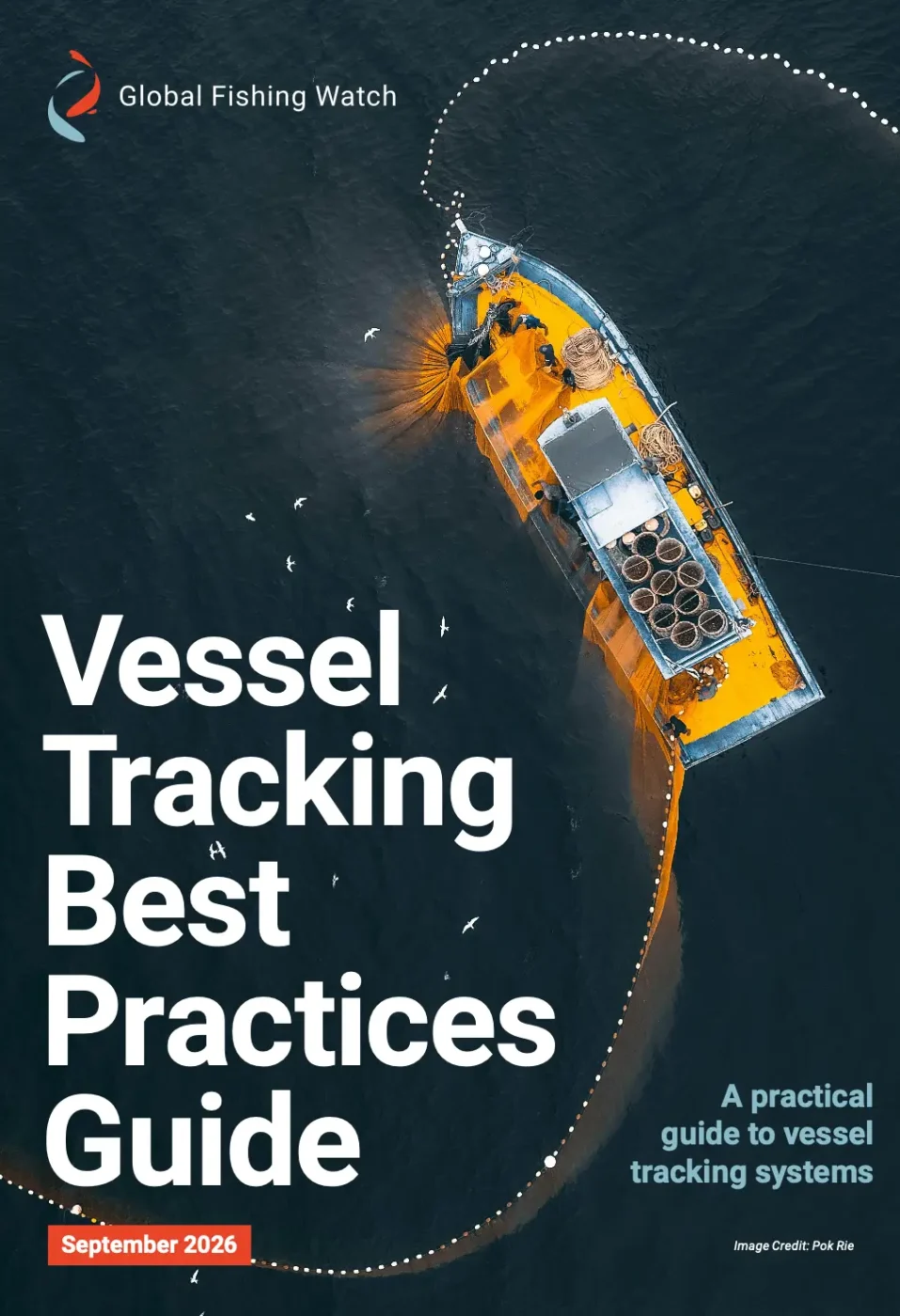
Vessel Tracking Best Practices Guide
A practical new framework offers governments a cost-effective roadmap to improve vessel tracking systems, secure their waters and protect fisheries.

A practical new framework offers governments a cost-effective roadmap to improve vessel tracking systems, secure their waters and protect fisheries.

Dr. Jennifer Raynor discusses the rapid evolution of AI-enabled vessel tracking technologies and how this technology can drive better decisions at sea.
The Next Frontier of Ocean Governance: AI, Satellites and Transparency Read More »

Global Fishing Watch has revealed a powerful new approach to mapping previously hidden fishing activity.

Test your knowledge of how satellite technology is helping reveal previously unseen activity at sea and support more effective ocean conservation.
How Much Do You Know About Satellite Imagery and Its Power to Protect Our Ocean? Read More »
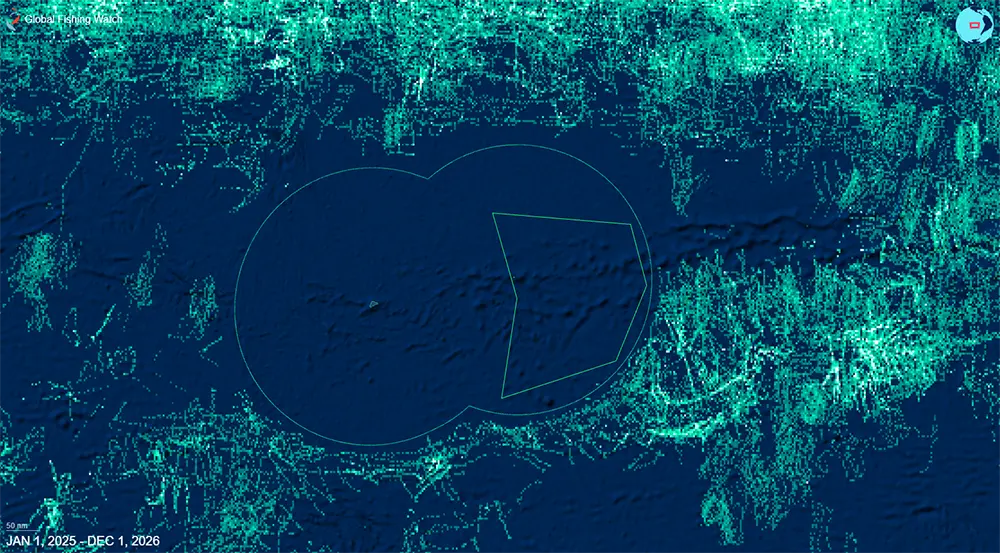
Vessel tracking and Indigenous stewardship are strengthening Rapa Nui’s marine protection efforts
To Safeguard Its Waters, Rapa Nui Turns to Marine Manager Read More »

From mapping the world’s small-scale fleet to deploying AI agents to monitor marine reserves, Global Fishing Watch’s research team is illuminating human activity across the ocean like never before.
A Research Roadmap: How AI and Satellites Will Drive Transparency in 2026 Read More »

New research from the international nonprofit reveals that satellite monitoring and big data can improve ocean governance only when paired with trusted partnerships and shared learning

Global Fishing Watch and Open Data Institute tackle ethical use of AI and open data – and how it can be applied to bolster ocean governance
Advancing Trust in Ocean Governance Starts With Responsible Data Practices Read More »
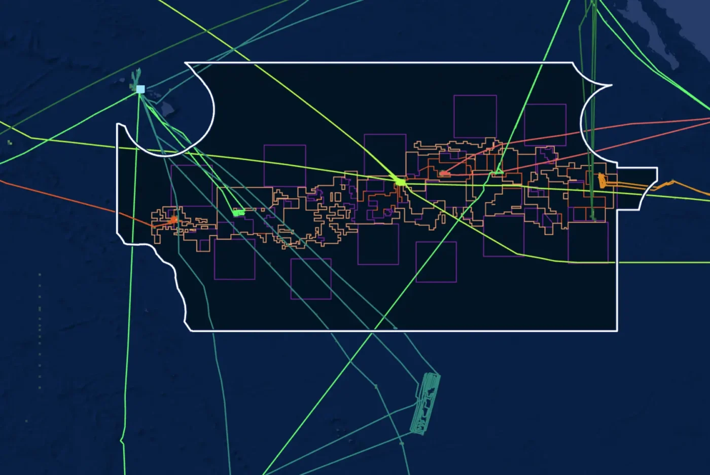
Track deep-sea mining vessels in near real time with the new Deep-Sea Mining Watch portal — transparency for our ocean’s future.
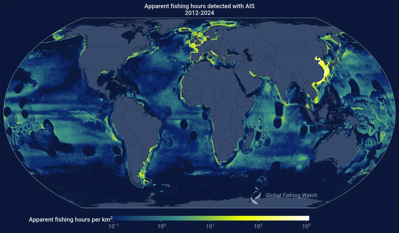
Response published to a study that claimed our algorithms overestimate fishing activity
Journal article clarifies how Global Fishing Watch fishing data is generated Read More »
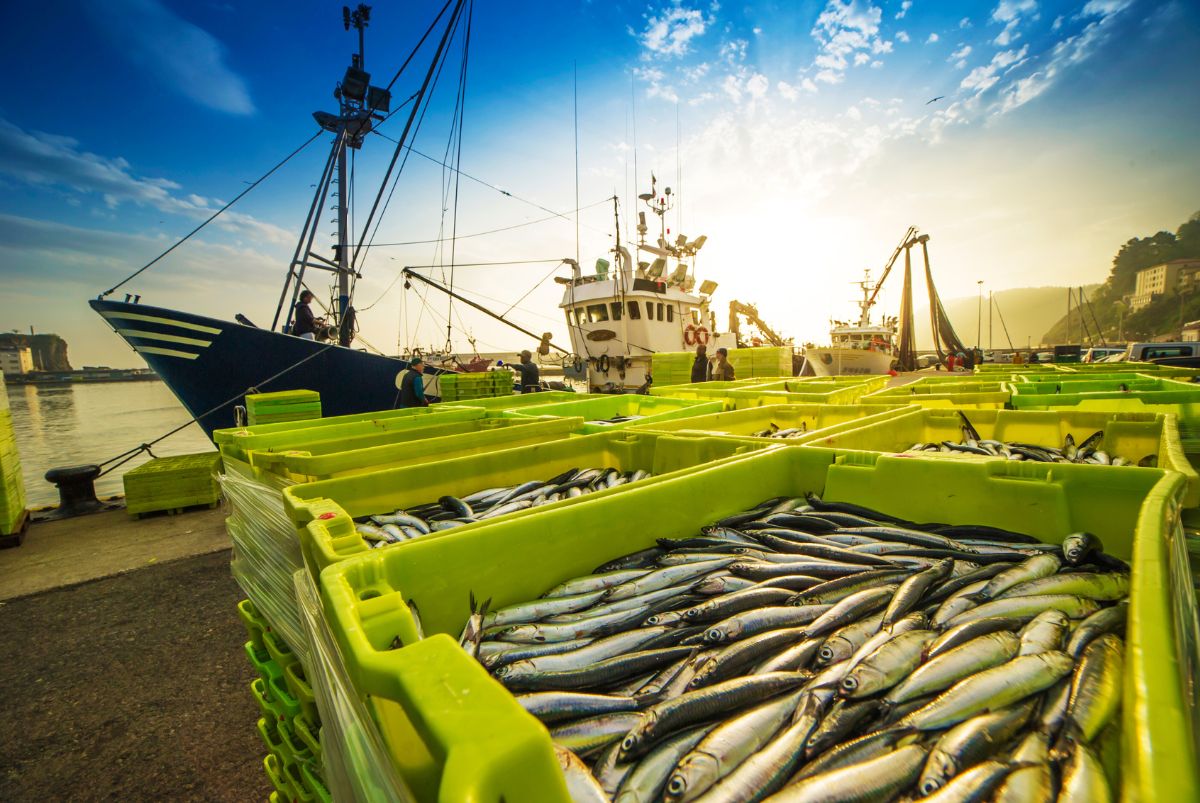
The new agreement aims to advance fisheries science and vessel monitoring through shared data and collaborative research.
Study finds global treaty curbing illegal fishing, yet gaps in domestic oversight remain Read More »
How does optical satellite imagery help our efforts to map human activity at sea?
Ask Global Fishing Watch: Optical satellite imagery Read More »
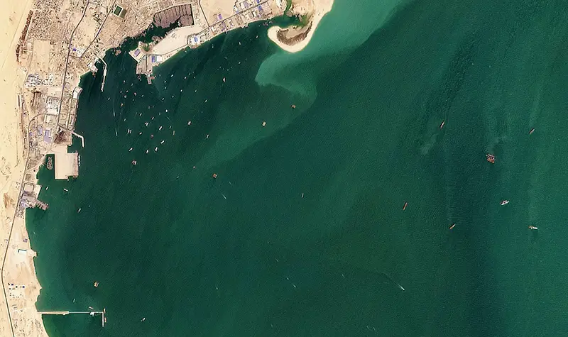
High-resolution optical imagery expands views and leads to significant advances in vessel detections We set out on an audacious goal at Global Fishing Watch two years ago: to map all human activity at sea. We are making incredible strides toward this goal thanks to our partnership with Planet, which enables us to draw on timely,
Partnering with Planet to bring coastal waters and small vessels into focus Read More »

The new agreement aims to advance fisheries science and vessel monitoring through shared data and collaborative research.

In Conversation with Rocío Joo Using satellite data and machine learning, Global Fishing Watch is working to reveal human rights abuses in the fishing industry — and help authorities take action The open ocean remains one of the most challenging places on Earth for human rights enforcement. Covering more than 70 percent of the planet’s
Unmasking Forced Labor at Sea: How AI Is Tracking Exploitation on the Open Ocean Read More »