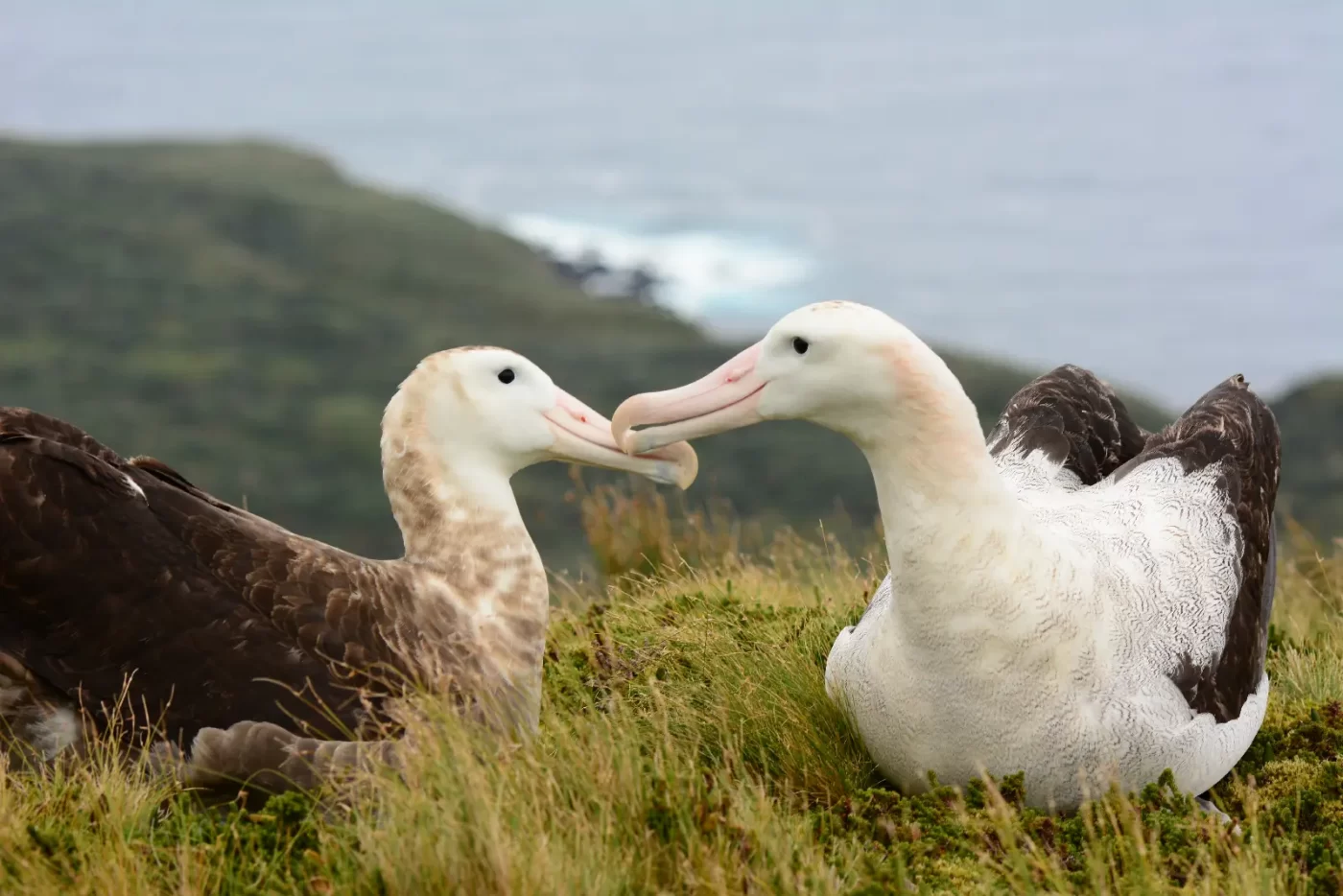
AI Offers Hope to Albatrosses Threatened by Longline Fishing Fleets
AI Offers Hope to Albatrosses threatened by Longline Fishing Fleets
AI Offers Hope to Albatrosses Threatened by Longline Fishing Fleets Read More »

AI Offers Hope to Albatrosses threatened by Longline Fishing Fleets
AI Offers Hope to Albatrosses Threatened by Longline Fishing Fleets Read More »
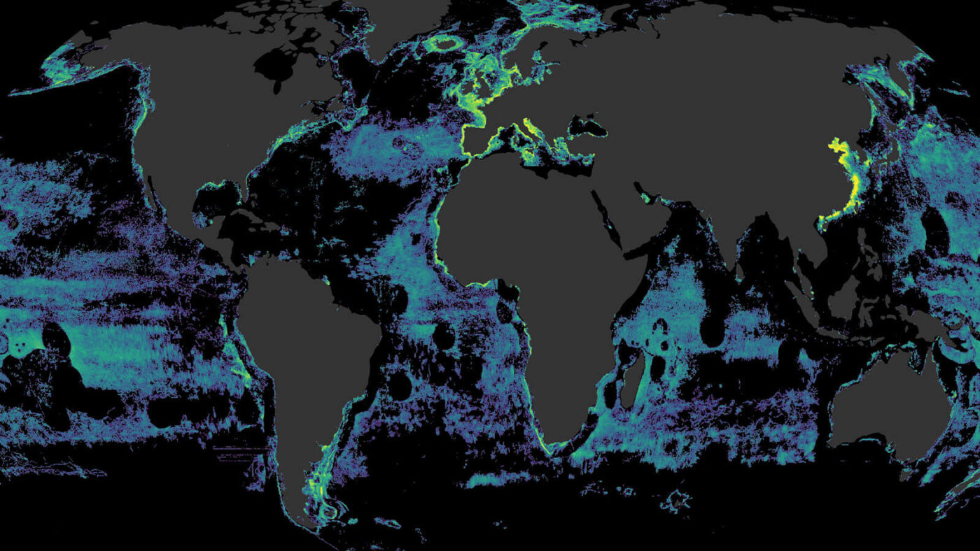
Groundbreaking research shows that more than half the ocean is affected by industrial fishing.
Vessel Tracking Data Reveals Global Footprint of Fishing Activity for the First Time Read More »
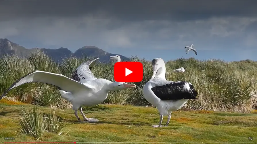
GPS data reveals most longline fishing happens during the day, increasing danger for threatened albatrosses.
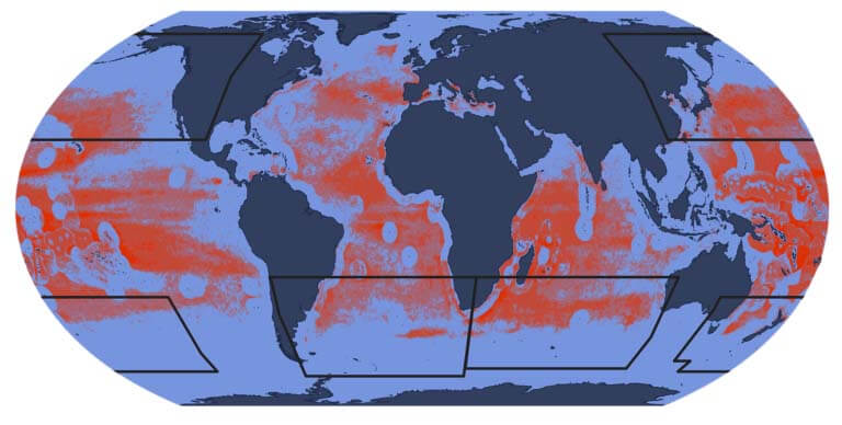
Fishing for tuna into daylight hours increases dangers for iconic seabirds, presents opportunity for better management
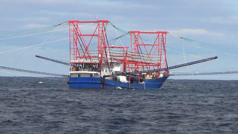
A ground-breaking study revealed that hundreds of industrial fishing vessels were illegally catching vast quantities of squid in North Korean waters – with huge economic and human costs.
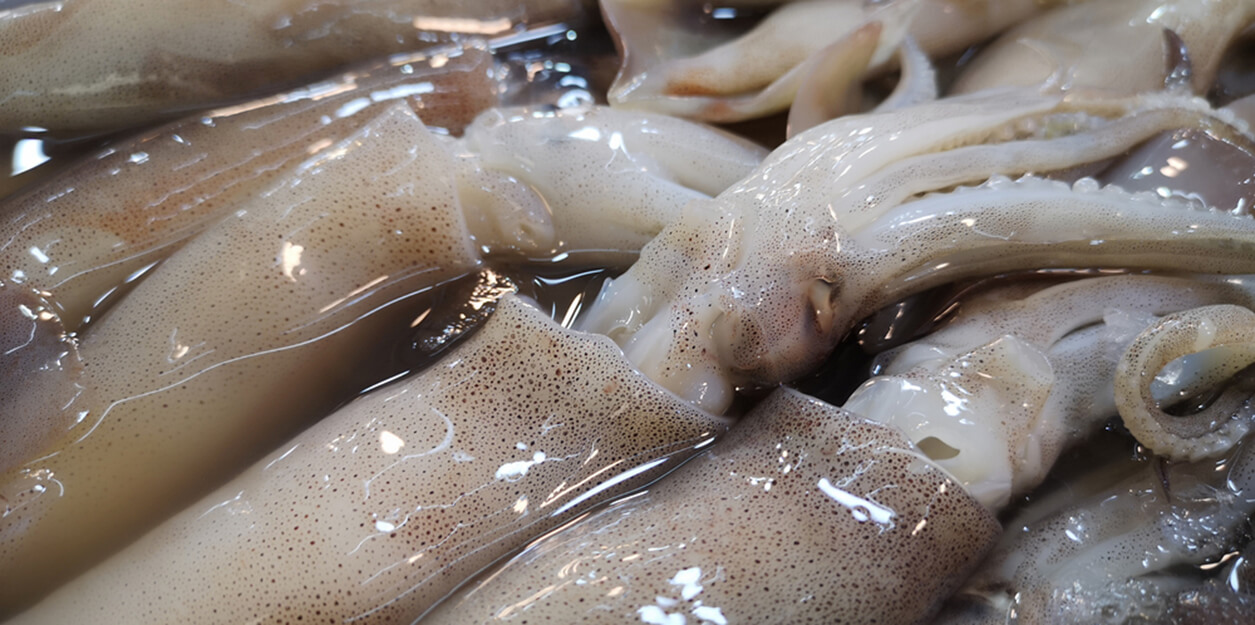
New research fuses multiple data sources to advance understanding of the expanding footprint of global squid fleets Scientists and policymakers have voiced growing concerns about the decline of global squid stocks, but little has been done to date to target squid fishing activities that are expanding into unregulated spaces, according to a new international study.
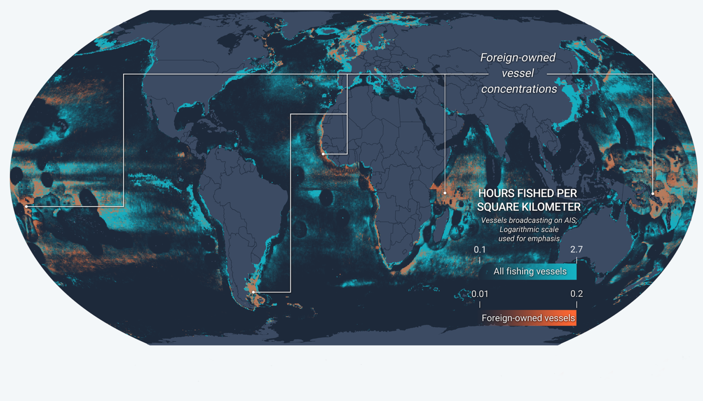
Scientific study fuses multiple data sources to advance global understanding of vessel identity and behavior A new study published today in Science Advances combines a decade’s worth of satellite vessel tracking data with identification information from more than 40 public registries to determine where and when vessels responsible for most of the world’s industrial fishing
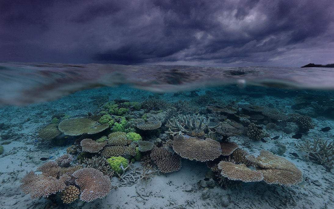
A wave of ocean action shows opportunities for greater transparency toward marine governance Tony Long, CEO, Global Fishing Watch 2022 dawned with even more uncertainty than most years. With COVID-19 lingering, it was unclear if the ocean conservation and fisheries management communities could hold the international meetings necessary to kick start work that had stalled
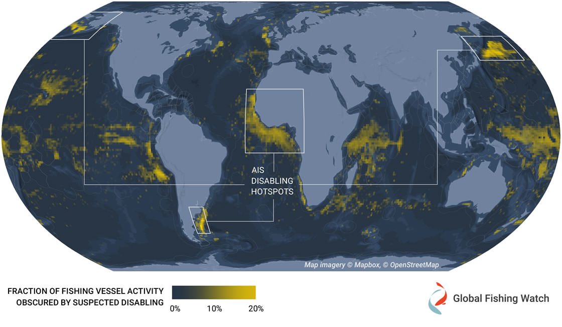
New study provides first global dataset examining intentional disabling of automatic identification system devices across commercial fisheries The ocean is vast and ship crews rely on several tools to navigate it safely. One of these tools is the automatic identification system, commonly referred to as AIS, which uses GPS transponders to regularly broadcast critical information,
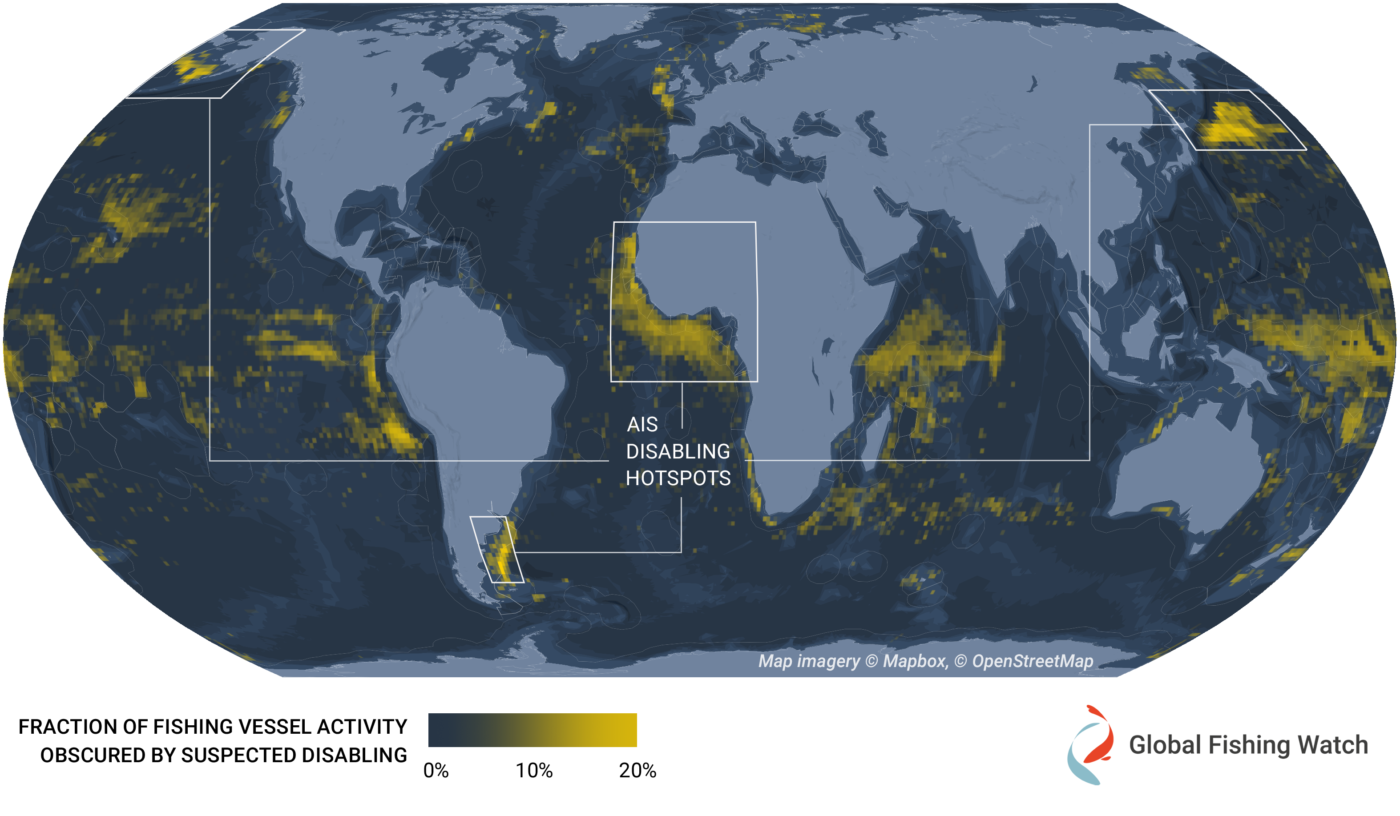
New research displays intentional disabling of automatic identification system devices to provide insights into illegal, unreported and unregulated fishing activity A new analysis harnesses automatic identification system, or AIS, data to provide information about global fishing activity, including illegal, unreported and unregulated fishing. Originally designed as a collision avoidance tool, AIS can be intentionally disabled—sometimes
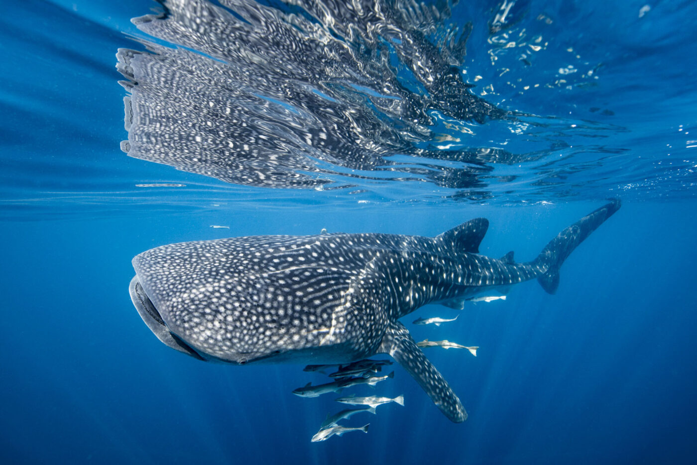
Global Fishing Watch data helps researchers link shipping traffic to whale shark fatalities The whale shark is the world’s largest fish, with adults weighing up to 5,000 pounds and reaching up to 20 meters in length. Earning the reputation of “gentle giant,” these massive creatures roam the tropical waters of the ocean, traveling long distances
Satellite Technology Can Reveal Collision Risks for Whale Sharks Read More »
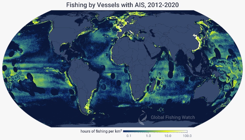
Global Fishing Watch’s updated fishing data offers new insight into the presence and behavior of the global fishing fleet In 2018, we published the first-ever global assessment of commercial fishing activity in Science. We tracked over 60,000 fishing vessels between 2012 and 2016, and estimated that fishing occurred on more than half of the ocean.
Half the Ocean: Updating The Global Footprint of Fisheries Read More »
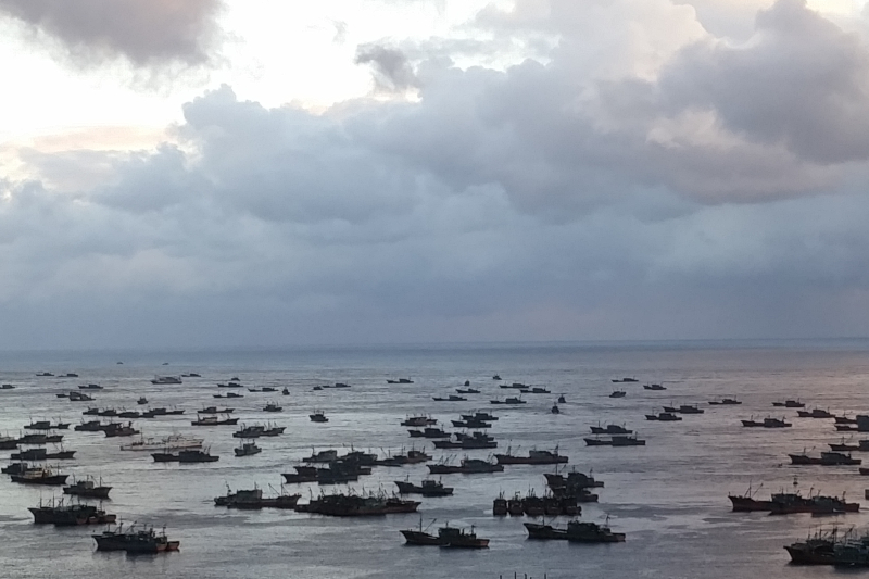
Satellite technology reveals decline in illegal fishing activity in North Korean and Russian waters compared to previous years In July 2020, as the COVID-19 pandemic was sweeping across the globe, Global Fishing Watch published a groundbreaking scientific paper revealing one of the largest known cases of illegal fishing. The foreign fishing activity detected across 2017-19 in the Democratic
A 2020 Analysis: Detecting the Dark Fleets in North Korea and Russia Read More »
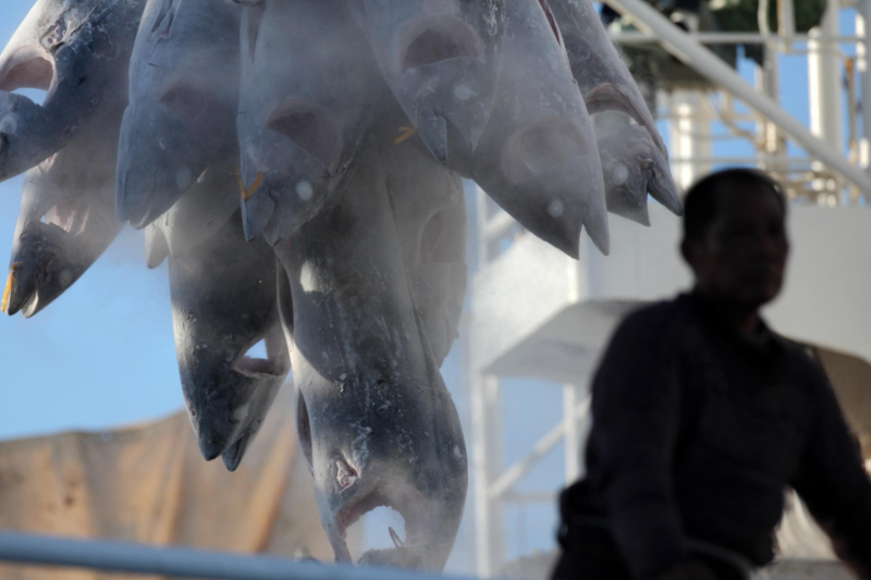
Researchers leverage satellite data, machine learning, and human rights expertise to develop model that determines risk of forced labor on fishing vessels https://www.youtube.com/watch?v=G5gWgYoR_rU&ab_channel=GlobalFishingWatch In 2016 our research group at the Environmental Market Solutions Lab (emLab) was collaborating with a team of fisheries scientists and economists to better understand the economic rationale behind fishing on the high seas.
New Study Unveils Risk of Forced Labor in Fisheries Read More »
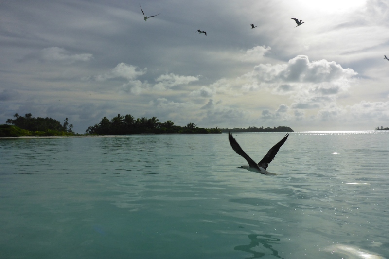
A team of scientists investigate benefits of large marine protected areas Standing at sea level, looking out at the ocean, you can only see about three miles (5 km) from shore. The largest marine protected areas (MPAs), which restrict fishing for conservation or fisheries benefits, span up to 200 nautical miles (370 km) from shore.
Study Uses Satellite Technology to Reveal How Fisheries Respond to Marine Protection Read More »