Researchers can now compare levels of human activity over time to better fathom human behavior and impacts of management on marine ecosystems

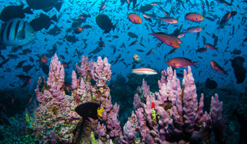
Marine protected areas (MPAs) are an important tool for safeguarding fragile ecosystems, endemic species and fish stocks throughout our global ocean. A growing number of countries around the world, with Chile as a prime example, are setting aside reefs, sea floors and their associated water columns for protection. Well-managed MPAs are a bit like creating bank accounts to grow our resources. In this case, the interest we accrue is vitality, productivity and resilience in the waters we all depend on for our survival.
Founded by Dona Bertarelli, Global Fishing Watch Marine Manager draws on biological, oceanographic and human activity data to create a dynamic management portal that policy makers, researchers and other stakeholders can use to make sound decisions about how to manage MPAs and other area-based conservation measures or where to set up new ones. But marine management is a huge job, and can be hindered by a shortage of supporting data. Given the disconnected and incomplete nature of ocean data in general, we’ve often lacked knowledge and accessible tools for understanding the progression and impact of human activity on the water, over time, in a comprehensive and dynamic way.
Tracking activity across space and time
Our data engineers have been busy helping to address the missing pieces of the puzzle, bringing new functionality to the marine manager tool. Now live in the portal, our improvements allow managers and researchers to create time period comparisons and give them new ways to interact with reference layers and download data. This helps managers and scientists to determine if MPA management is effective, and whether fishing shifts to adjacent areas. From a resource management perspective, these are important things to quantify.
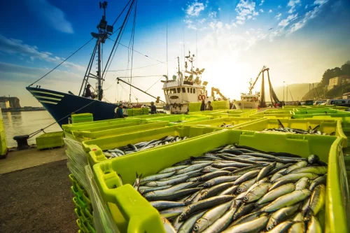
The new functionality of the marine manager is not just to track fishing vessel activity in and around protected areas; in fact, its potential application is excitingly broad. For example, we can examine ways that vessel traffic in a particular area might change over time due to oil and gas discovery or other extraction. We can view how fishing activity changes in response to global events, like the COVID-19 pandemic. This helps us get a better grasp of the human footprint and with that, potential impacts to the environment. Additionally, enforcement personnel can use our tools to identify priority areas and align their patrols with high use periods.
Actionable data on human activity
We realized users may want to study regions that haven’t necessarily been our key focus. In addition to our built-in reference layers showing exclusive economic zones and MPAs, users can easily draw their own reference layer right on the map. They don’t need to be a GIS or mapping specialist to delineate areas where they want to rapidly analyze human activity. Using a simple process, marine managers scoping a potential MPA can quickly draw that area in the map to investigate current activity and which vessels, gear types and flag States might be impacted by future policy. This allows them to more effectively identify affected stakeholders to engage throughout their designation process.
Data that is more user friendly can save researchers a lot of time and headache. With improvements to the marine manager portal, users can download data in multiple formats with new options in spatial and temporal resolution, meaning that managers and researchers now have access to fishing activity data with minimal data wrangling, helping streamline research and management plans. Additionally, we now show events like port visits and encounters along a vessel’s track, and performance improvements we have undertaken with help from our partner sites ensure the tool works well even in remote areas. With our improved portal, decision makers will have detailed, actionable data on human activity as they look to balance environmental and socioeconomic needs.
A better analysis tool
In collaboration with other scientists, Dr. Tim White previously tracked fishing activity before and after implementation of MPAs around the Pacific Ocean to analyze how industrial fisheries respond to MPAs. This study revealed that some MPAs are effectively protecting huge stretches of ocean from industrial fisheries, as virtually no fishing was detected inside MPAs. However, identifying the relevant data for this study, compiling it, analyzing it, and visualizing it all took time and resources. Now, with a few clicks, anyone with an internet connection can quickly generate those same insights for their own regions of interest.
In our continuing work, we will learn more from marine managers what analyses they need to improve ocean stewardship. We are also exploring other formats and ways in which stakeholders can export data, information and visuals from the marine manager portal. It’s exciting to be able to add new detail, organization and interconnectivity to the explosion of data about our ocean. Continuing improvements to our technology are key to our overall mission: to pull disparate activity and environmental datasets together from many sources and create systems that link more detailed webs of information in ways that are easier than ever to use.
We want data frameworks that are relatable not just to data scientists with particular skills, but really everyone with an interest in the future health of our ocean and planet. We know that climate, biodiversity and human activity interlock globally. We aim to grow the tools that reflect this interconnection.
Tim White is a senior fisheries scientist at Global Fishing Watch. Matt Gummery is a product manager at Global Fishing Watch.


