
Bridging the Data Divide: How Bringing Global Fishing Watch to the ArcGIS Community Is Changing the Game in Geospatial Technology
5 ways to explore the ocean via ArcGis Online

5 ways to explore the ocean via ArcGis Online

Global Fishing Watch and Open Data Institute tackle ethical use of AI and open data – and how it can be applied to bolster ocean governance
Advancing Trust in Ocean Governance Starts With Responsible Data Practices Read More »

Global Fishing Watch insights enabled Albania and partner countries to drive stronger conservation measures for the Adriatic Sea’s Norway lobster
Albania Leads Regional Action to Protect Norway Lobster in the Adriatic Read More »
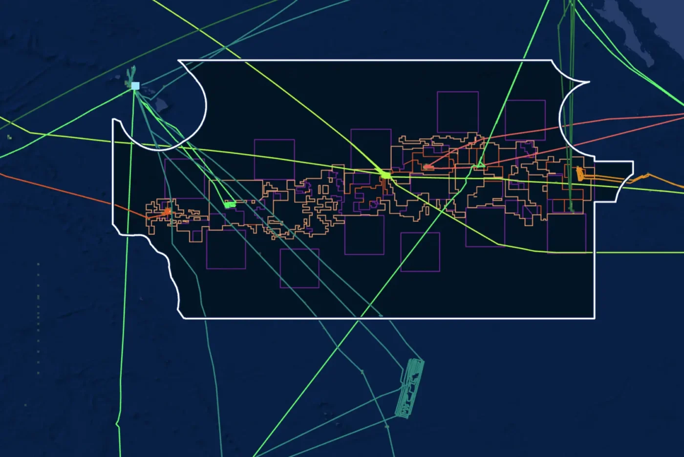
Track deep-sea mining vessels in near real time with the new Deep-Sea Mining Watch portal — transparency for our ocean’s future.

A new open-data platform is bringing transparency and accountability to the realm of deep-sea mining, says Paul Woods
In the Race to Mine the Deep, New Tools Illuminate What’s Happening Below Read More »

An investigation using the Global Fishing Watch map uncovered months of offshore fossil fuel activity raising concerns for fisheries and coastal communities
Transparency Tools Reveal Secret Dredging in Mozambique’s Coral Reefs Read More »

In the fight against illegal fishing, Pacific nations are increasingly turning to technology for visibility over their waters
A Data Revolution is Bringing Transparency to the World’s Largest Ocean Read More »
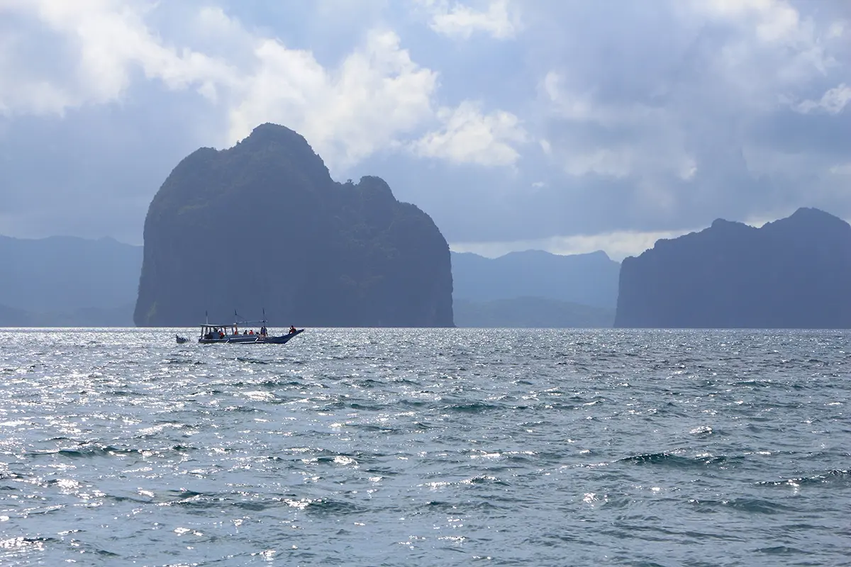
A partnership between Global Fishing Watch and ASEAN Centre for Biodiversity is enhancing regional marine conservation efforts through Marine Manager
In Southeast Asia, Capacity Building Efforts Bolster Marine Protection Read More »
How will a new reference layer on the Global Fishing Watch platform help users monitor activity in preferential access areas?
Ask Global Fishing Watch: Preferential access areas Read More »

Artificial intelligence is already transforming ocean governance. Now it’s time for governments to use it.
How does optical satellite imagery help our efforts to map human activity at sea?
Ask Global Fishing Watch: Optical satellite imagery Read More »
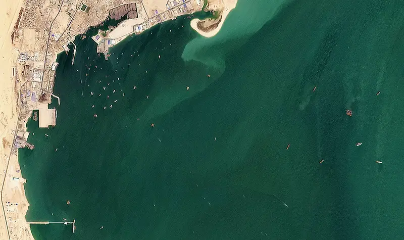
High-resolution optical imagery expands views and leads to significant advances in vessel detections We set out on an audacious goal at Global Fishing Watch two years ago: to map all human activity at sea. We are making incredible strides toward this goal thanks to our partnership with Planet, which enables us to draw on timely,
Partnering with Planet to bring coastal waters and small vessels into focus Read More »
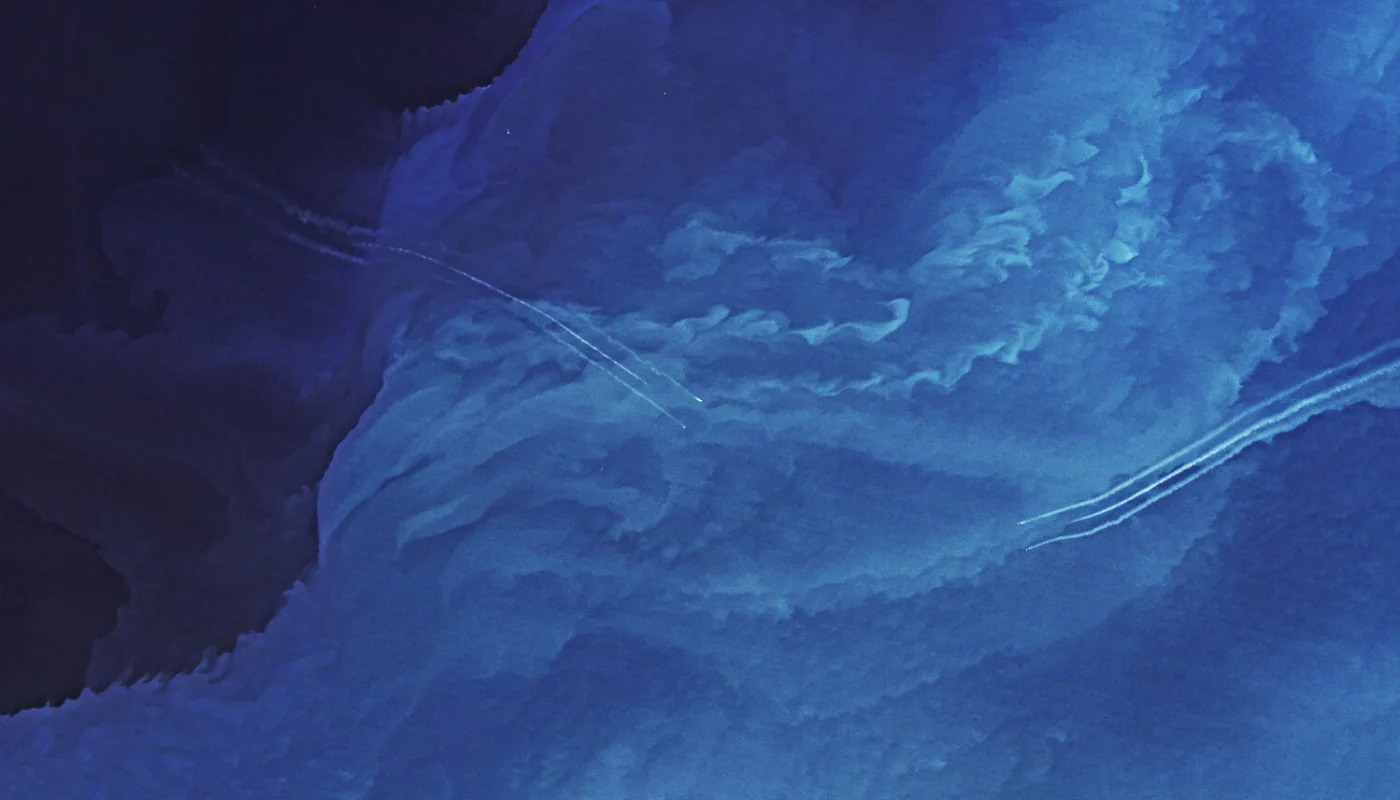
Satellite imagery and AI provide 30 percent more global coverage for detecting human activity at sea

The new partnership will bolster the Central African nation’s efforts to strengthen vessel tracking and promote data-driven ocean governance through transparency at sea
In new pact, Gabon and Global Fishing Watch vow to ramp up right against illegal fishing Read More »

The agreement will harness technology and transparency to strengthen surveillance of marine protected areas and safeguard biodiversity