technology

CMAR at 20: A Visionary Model for Marine Conservation and International Cooperation

In Conversation with José Julio Casas The Eastern Tropical Pacific Marine Corridor is shaping the future of ocean sustainability in Latin America and the world, says José Julio Casas For two decades, the Eastern Tropical Pacific Marine Corridor has united the governments of Colombia, Costa Rica, Ecuador and Panama in safeguarding the unique marine ecosystems

CMAR at 20: A Visionary Model for Marine Conservation and International Cooperation Read More »

Ask the Expert: Hannah Linder, Senior Manager, Data and Analysis

Ask the Expert Hannah Linder Senior Manager, Data and Analysis How do pipelines feed data into Global Fishing Watch’s map and how has the latest release standardized the process for future pipeline updates? Our map is based on satellite data that contains key information on vessel identities and positions. A data pipeline takes this raw

Ask the Expert: Hannah Linder, Senior Manager, Data and Analysis Read More »

Ask the Expert: Jose Angel Parreño, Front-end engineer

Ask the Expert Jose Angel Parreño Front-end engineer How does the technical framework behind Global Fishing Watch’s map support visualizations of large datasets? The Global Fishing Watch map allows anyone to analyze human activity taking place across the ocean at different geographic and time scales. Map users can perform a range of tasks with this

Ask the Expert: Jose Angel Parreño, Front-end engineer Read More »

Ask the Expert: Tim Hochberg, Senior machine learning engineer

Ask the Expert Tim Hochberg Senior machine learning engineer How do you match automatic identification system data with satellite imagery to identify publicly tracked vessels? Automatic identification systems, commonly referred to as AIS, transmit a ship’s position and alerts others to its whereabouts. While originally designed as a collision avoidance mechanism, AIS is regularly used

Ask the Expert: Tim Hochberg, Senior machine learning engineer Read More »

Ask the Expert: Fernando Paolo, Senior remote sensing machine learning engineer

Ask the Expert Fernando Paolo Senior remote sensing machine learning engineer How is satellite data used to map human activity at sea? Analyzing large data streams of satellite synthetic aperture radar (SAR) and optical imagery–a core component of the work we do at Global Fishing Watch–requires a complex workflow. A constellation of satellites image the

Ask the Expert: Fernando Paolo, Senior remote sensing machine learning engineer Read More »

New research harnesses AI and satellite imagery to reveal the expanding footprint of human activity at sea

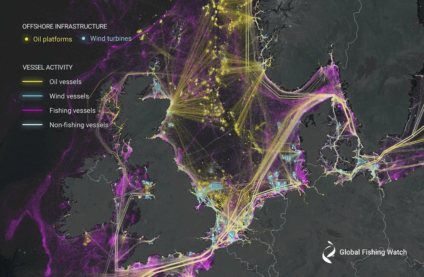
Study reveals 75 percent of the world’s industrial fishing vessels are hidden from public view WASHINGTON, D.C. – A new study published today in the journal Nature offers an unprecedented view of previously unmapped industrial use of the ocean and how it is changing. The groundbreaking study, led by Global Fishing Watch, uses machine learning

New research harnesses AI and satellite imagery to reveal the expanding footprint of human activity at sea Read More »

Joint Analytical Cell Supports Joint Patrol Operation with Technology, Analysis and Intelligence to Target Illegal Fishing in the Gulf of Guinea

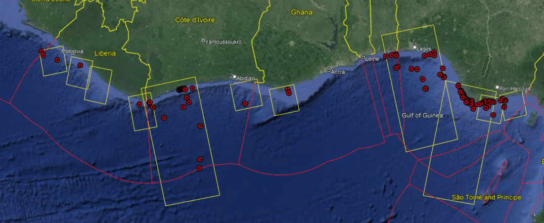
The Joint Analytical Cell (JAC) had the opportunity to support the Africa Nemo 23.04 joint patrol in the Gulf of Guinea. The annual patrol is a collaborative effort led by the French Navy responsible for the Atlantic Area (CECLANT) and included the navies of Benin, Côte d’Ivoire, Ghana, Togo, Nigeria, the European Fisheries Control Agency

Joint Analytical Cell Supports Joint Patrol Operation with Technology, Analysis and Intelligence to Target Illegal Fishing in the Gulf of Guinea Read More »

Pilot users tout value of innovative vessel history tool across sectors

Vessel Viewer informs decision-making and operational planning for ports, insurance and seafood supply chains Few industries are as hard to monitor as commercial fishing, and few products as hard to trace as seafood. The challenges range from knowing a fishing vessel’s identity and what they are doing on the ocean’s vast expanses—and the history of

Pilot users tout value of innovative vessel history tool across sectors Read More »

Scroll to Top

Help us improve the site

Take a quick website survey to help us build a better experience for visitors like you.