
Paul Woods, chief innovation officer with Global Fishing Watch and Mogens L. Mathiesen, SVP, head of strategy and partnerships with the Ocean Data Foundation share their ambition on Earth Day (April 22) for a new partnership to harness the current explosion in new data and technology for better management of the ocean.
In this era of upheaval and mounting stressors in our ocean, technological innovations offer a wave of new data and new capabilities for translating it into actionable information. These innovations offer unprecedented potential to improve stewardship of marine resources and ensure resilient and productive ocean ecosystems.
A digital ocean
The ocean plays a critical role in human health and the health of the planet. It is essential, not just for the livelihoods and protein it provides but for the fresh water it cycles; oxygen it creates, weather systems it moderates and carbon it absorbs. The ocean protects and provides for us all; failing to protect it will cost humankind dearly.
Lack of data has historically been a major limitation for understanding the ocean and the impacts of human activities. But recent advances in new data sources, including satellite observations, has created the prospect of a digital ocean ecosystem. Big data processing, machine learning techniques and visualization are rapidly transforming our ability to generate new tools that can provide actionable information to policymakers, marine resource managers and civil society. Seizing the opportunity presented by these advances in technology and data availability will require breakthroughs on several fronts.
Better together
Global Fishing Watch (GFW) and Ocean Data Foundation (ODF) share a common mission to harness, and openly share, new data and technology to advance understanding and stewardship of our ocean and its resources.
In 2019, GFW and ODF entered into a partnership to explore new methods for combining and visualizing big ocean data, and develop complementary technology solutions that make open data sources easy to use and share, in support of better science and management of our ocean.
The partnership brings together GFW’s expertise in vessel detection and tracking with ODF’s technology to aggregate vast amounts of ocean environmental data. By combining our capabilities we aim to provide open, actionable information to strengthen ocean governance.
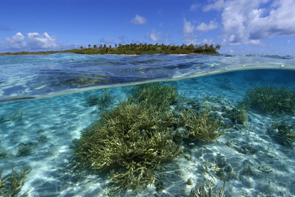
Monitoring marine reserves
About 70% of our Earth’s surface is ocean, however, only about 5% of it is currently protected. The ocean needs safe havens where nature can replenish, and fortify itself against climate change and other threats. Marine reserves can help rebuild species abundance and diversity, restoring and restocking marine life. They are a critical tool to help the ocean regenerate.
Effective management of marine reserves has been hindered by a lack of information needed to monitor human impacts and manage risks. GFW is developing a monitoring tool to help fill this gap; integrating GFW’s vessel tracking data with other ocean data sources to inform the planning, designation, management and evaluation of marine reserves and protected areas.
ODF is building the Ocean Data Platform (ODP), a technology platform that will help power and enhance this endeavour. ODP will combine a range of existing ocean data that is available from numerous sources at different spatial and temporal scales, and in a variety of data formats. These include directly detected and modelled environmental data such as ocean temperature, salinity and currents provided by the Intergovernmental Oceanographic Commission’s Data Exchange (IODE) and the National Oceanic and Atmospheric Administration (NOAA), as well as Copernicus and the Joint Technical Commission for Oceanography and Marine Meteorology in situ Observations Programme Support Centre (JCOMMOPs) for buoy and satellite data streams for near real-time global ocean data.
The ODP will combine these diverse ocean data sets across multiple dimensions – the ocean surface as well as changing data through time and different ocean depths, and provide the result in a unified data stream with common data format and tools for visualization.
All technologies will be developed to be as open and accessible as possible for use in new and existing programs and applications.
2020 focus
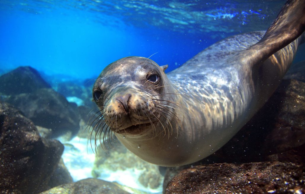
In 2020, the two organizations will focus their project collaboration on three geographical areas: Galapagos, Ascension Island and Spitsbergen.
The Galapagos Marine Reserve is one of the largest and most biologically diverse marine protected areas (MPAs) in the world; Ascension’s MPA is the largest no-take zone in the Atlantic and the eighth largest in the world, and the Svalbard archipelago (Spitsbergen), which lies some 650 miles from the North Pole, is host to a vast network for MPAs. While the ecosystems differ dramatically, their management authorities share a common need for more actionable, dynamic data to help understand and respond to mounting pressures on these globally-important marine areas.
The two organizations will produce a test-case that demonstrates the capabilities of ODF’s ocean environmental data fusion, applied to specific geographical areas within GFW’s marine reserve monitoring tool. Specifically, the project will combine vessel tracking data with high, key environmental data (such as temperature, salinity and currents) which can be used to predict when and where protected species are likely to be present. This will inform management and planning decisions around protected areas by enabling visualization and analysis on fishing pressure and potential illegal fishing, sea temperature change and other activities, such as shipping, mining and tourism impacting the reserves.
The project is informed by relevant stakeholders and the test-case will be shared first with management authorities for review and refinement. ODF and GFW will assess how best to evolve and scale the project to include other data sets and geographies.