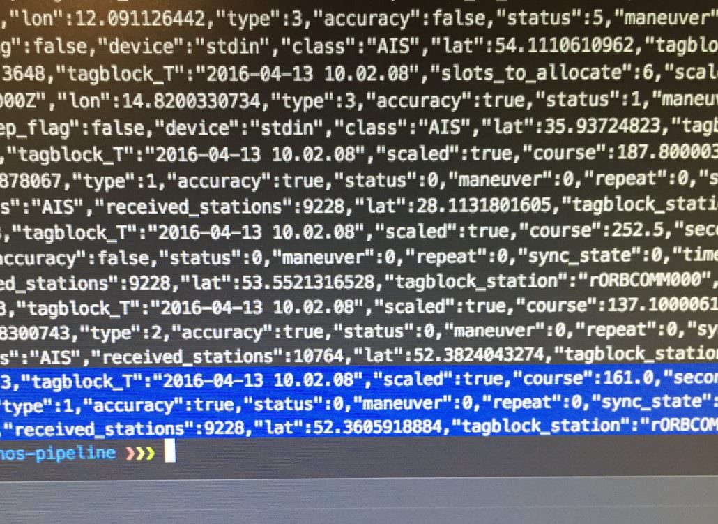
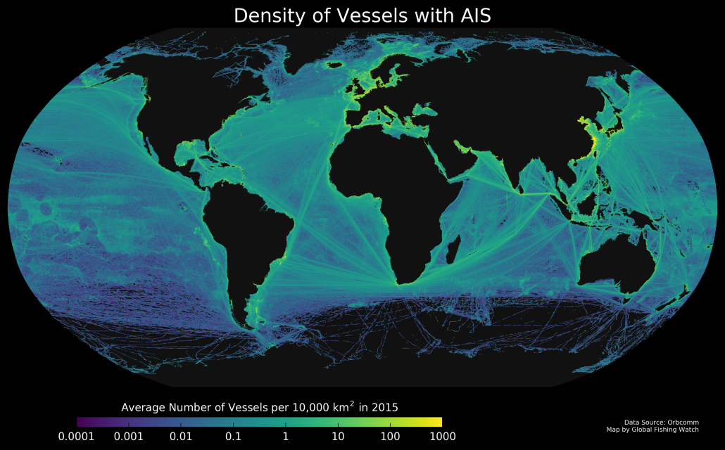
Example of AIS Data for One Vessel Nov 1, 2016
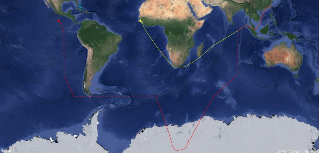
The sample vessel track below shows position broadcasts of the Jin Sheng No.2, a Chinese fishing vessel with mmsi number 413270430. Over three weeks in March of 2015, this vessel steamed from the central Pacific to the coast of Japan, Korea, and China. While moving, a vessel broadcasts its position via AIS every 2 to […]