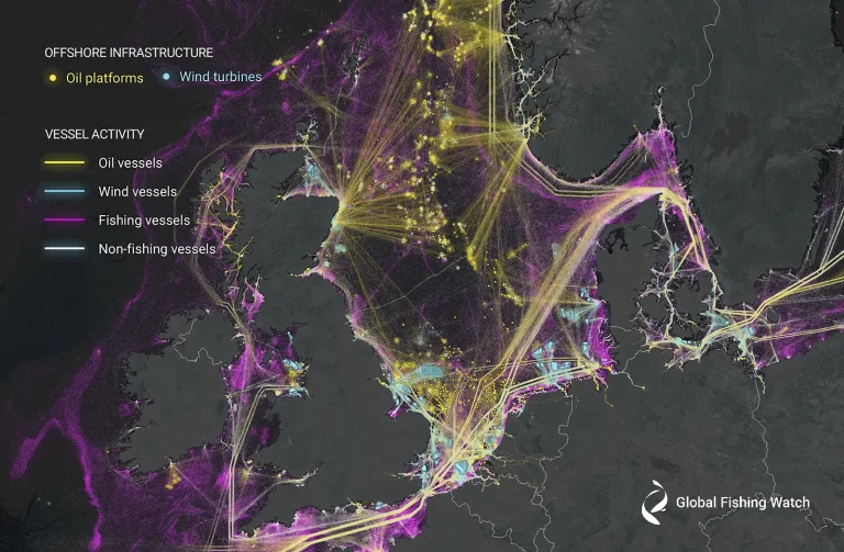
New research harnesses AI and satellite imagery to reveal the expanding footprint of human activity at sea
Study reveals 75 percent of the world’s industrial fishing vessels are hidden from public view WASHINGTON, D.C. – A new study published today in the
Our work
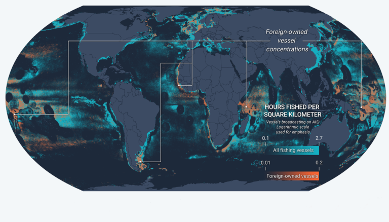
New Fusion of Global Datasets Advances Understanding of Vessel Identity and Activity
Novel research provides new tool to improve global fisheries oversight Illegal, unreported and unregulated (IUU) fishing accounts for up to $23.5 billion every year and is enabled by vessels frequently changing their name, flag State or owner. New research ,
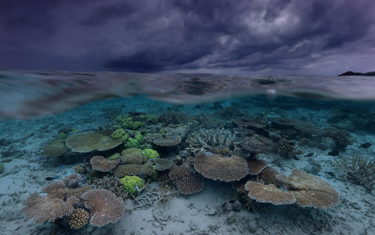
2022: A Year of Success—and Greater Promise
A wave of ocean action shows opportunities for greater transparency toward marine governance 2022 dawned with even more uncertainty than most years. With COVID-19 lingering, it was unclear if the ocean conservation and fisheries management communities could hold the international
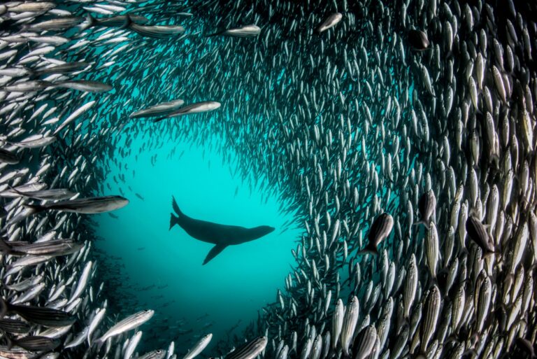
With New Global Accessibility and Data Features, Marine Manager Raises the Bar on Ocean Monitoring
Latest release of online tool will help more people monitor and manage greater expanses of the seas In our brief but exciting history working to shed greater visibility on what’s happening on the ocean, we’ve learned that one must meet
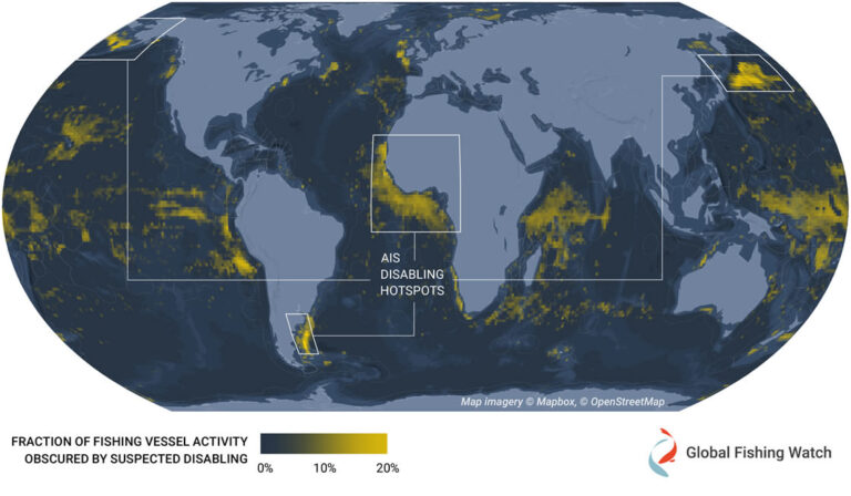
Hotspots of Unseen Fishing Vessels Illuminate Areas of Concern for Illegal, Unreported and Unregulated Fishing
New study provides first global dataset examining intentional disabling of automatic identification system devices across commercial fisheries The ocean is vast and ship crews rely on several tools to navigate it safely. One of these tools is the automatic identification

Transparency Can Bring Forward Outcomes of International Fisheries Meeting
Committee on fisheries advances transshipment monitoring, vessel identification and tracking to fight illegal fishing International fisheries are managed through a patchwork of regulations, which present loopholes that are often exploited for financial gain, undermining collective good governance efforts. To help
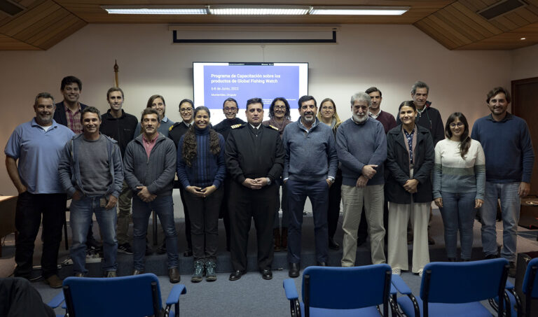
In Latin America, Training Helps Governments to Discover Suspicious Behavior
Global Fishing Watch reinstates in-person training with partners to strengthen the use of technology in support of responsible ocean management Lack of available information on global and regional fishing activity is one of the biggest challenges when it comes to
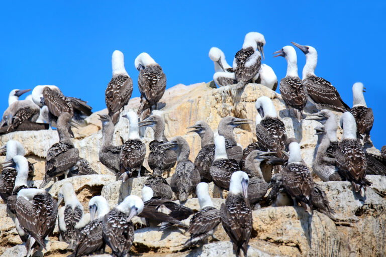
Seabirds: An Unexpected Ally in Fisheries Monitoring
An innovative research project allows scientists to see through the eyes of seabirds to understand interactions with the Peruvian anchovy fishing fleet On any given day, you can find a wreck of seabirds soaring above the waters of
Free and open data to inspire next wave of ocean solutions
Global Fishing Watch establishes new portal to make application programming interfaces available to public Inequitable access to data and technology in support of ocean stewardship often leads to lost opportunities in decision-making and innovation—especially in under-resourced countries. The international community
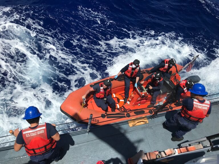
International Organizations Launch Collaborative Initiative in Fight Against Illegal Fishing
The Joint Analytical Cell aims to bolster fisheries monitoring, control and surveillance Costing the global economy billions of dollars in lost revenue each year, illegal, unreported and unregulated (IUU) fishing is impacting the health and resilience of our ocean,
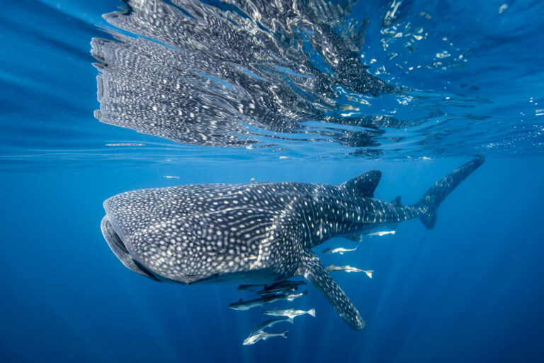
Satellite Technology Can Reveal Collision Risks for Whale Sharks
Global Fishing Watch data helps researchers link shipping traffic to whale shark fatalities The whale shark is the world’s largest fish, with adults weighing up to 5,000 pounds and reaching up to 20 meters in length. Earning the reputation of
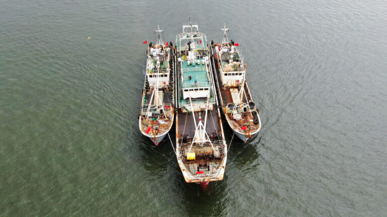
Canada Recognizes Need for Strong and Consistent Transshipment Measures
Key ocean nation outlines how voluntary guidelines can set a clear policy framework for enhanced regulation, monitoring and control of at-sea transfer of fishing catch Fishing is a crucial part of life for people throughout the world and the industry
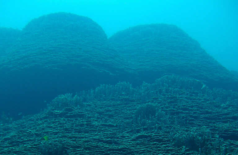
Satellite Data Casts Light on Seamounts at Risk
Emerging tools and datasets help quantify fishing pressure and can inform management at remote, unmonitored seamounts Seamounts—large underwater mountains— hold vital biological diversity, but they also contend with heavy exploitation. Numbering in the tens of thousands across vast stretches of