Inconsistency in AIS filters leads to events without tracks

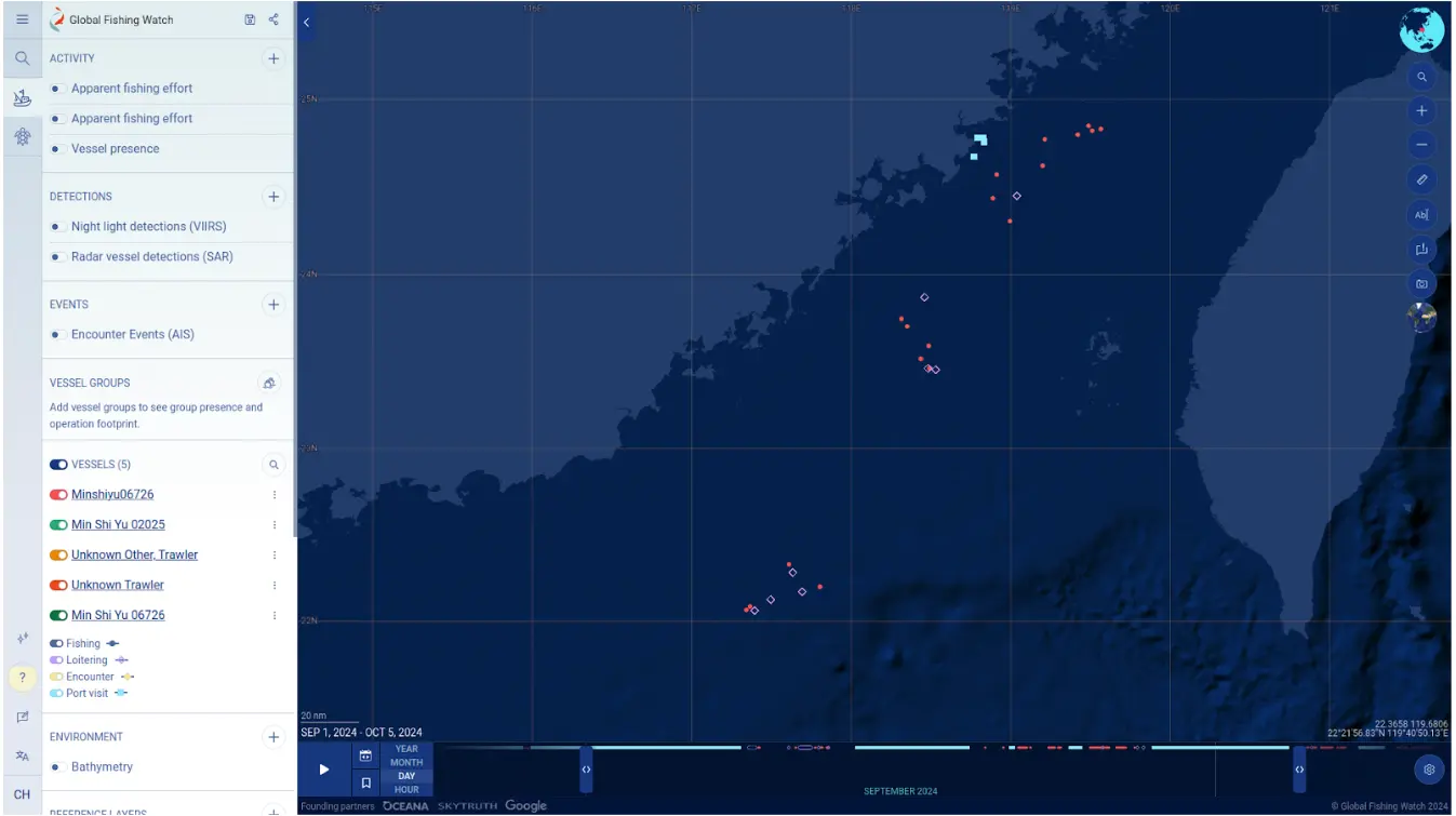
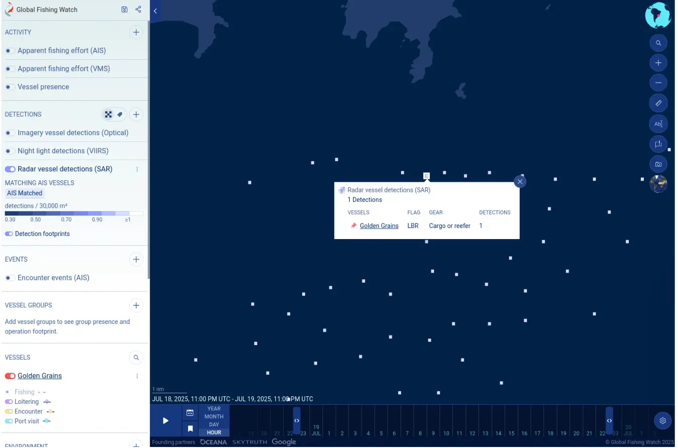
We have noted some inconsistencies that may occur between vessel track data and other associated information in our platform, whereby events and vessel detections show but tracks are missing.

Automatic identification system (AIS) data inherently contains a degree of “noise.” To ensure the highest possible accuracy and utility of this information, our data pipeline has advanced filtering mechanisms. 

While these filters are crucial for refining the data, certain conditions can, at times, lead to specific display anomalies like the examples below:


  • Events like loitering or port visits may appear without a corresponding vessel track (example).
Satellite map interface showing the northwest coastline of Australia with colored dots offshore, a legend on the left, and a grid overlay. The map tracks vessel activity or fishing detection data using a python package for analysis.
  • Sentinel-1 detections matched with AIS, yet lack an associated vessel track. 
    • In the below example, the vessel Golden Grains has a matched Sentinel-1 detection but it doesn’t have a track for this time range because the matched track segment is currently filtered out due to data “noise.”
A digital maritime map, created with a python package, shows vessel detections as white squares across blue ocean. A pop-up box highlights the cargo vessel Golden Grain, indicating its detection and Liberian flag.

We are aware of these intermittent issues and our team is working to enhance our data processing capabilities to mitigate their occurrence. 

If you see any of these issues and require further clarification, please contact our support team at [email protected].

Related Updates

Scroll to Top