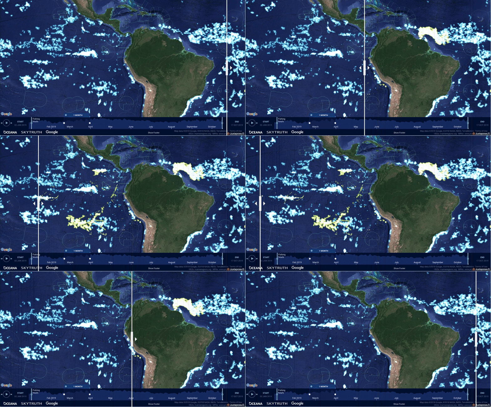
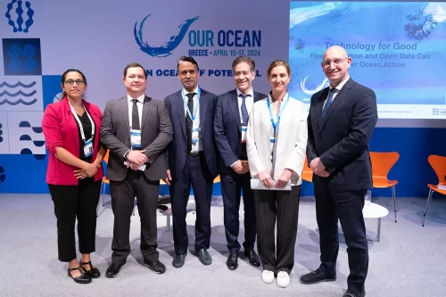
Oslo, Norway. October 23, 2019. In front of world leaders gathered in Oslo, Norway for the sixth-annual Our Ocean conference, Panama announced the public release of its vessel tracking data via Global Fishing Watch (GFW). Panama’s distant water fishing fleet is now visible in GFW’s public map in near real time, for free.
Panama reinforced the importance of monitoring vessels and transshipments in order to improve governance and transparency, and called on more countries to commit to transparency.
“Greater transparency in fishing activity is critical to combat illegal fishing, and enforce compliance in our fleet worldwide,” said Flor Torrijos, Director of Authority of the Aquatic Resources of Panama (ARAP). “We are very happy to be sharing our vessel tracking data via the Global Fishing Watch platform and continuing our collaboration.”

Data released today on the GFW map reveals Panama’s international fishing fleet of about 150 vessels, along with about 200 carrier vessels flagged to Panama and used to receive catch at sea and transport to port. Publishing vessel tracking data to the GFW platform will aid Panama’s monitoring and control efforts, and is a major step towards achieving full transparency of their fishing fleet.
Public sharing of VMS data, including lists of authorized vessels, helps improve surveillance and encourages vessels to comply with regulations. Unauthorized vessels, and those with a history of non-compliance, can be identified more easily and prioritized for inspections, while vessels that turn off tracking devices can be held accountable when they come into port.
“Transparency is fundamental to improving fisheries management. Panama’s decision to publish its vessel data via our map adds real momentum to the drive for more public information on fishing activity,” said Tony Long, CEO for Global Fishing Watch. “Panama is joining a growing number of countries recognizing transparency is a cost-effective and efficient way to enhance vessel monitoring.”
In 2017, Indonesia became the first nation to make its proprietary VMS data available via GFW’s platform. Peru followed in October 2018 in sharing its VMS data, and Chile, Costa Rica and Namibia have made public commitments to join the GFW platform.
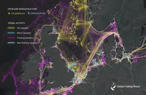
GFW provides an unprecedented view of global fishing activity by using machine learning to interpret data from various vessel tracking sources, including automatic identification system (AIS) and VMS data. While AIS is required for the largest vessels that catch a disproportionately large amount of fish, adding VMS data, which is required by some governments, to the GFW map provides an even clearer picture of fishing vessel activity on our global ocean.
Global Fishing Watch, in partnership with PACÍFICO, Oceana and other organizations, is committed to working with 20 countries to publicly share their vessel monitoring data via the GFW map by 2022 to advance responsible fisheries management.

