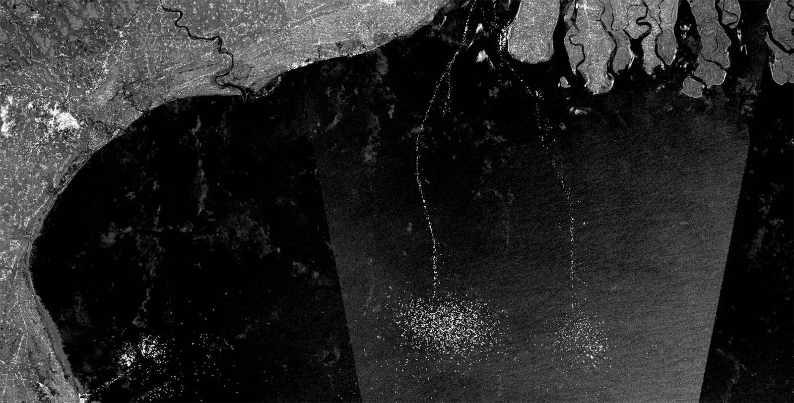
Satellite Radar Imagery Helps Reveal the True Scale of Hidden Fishing
Satellite Radar Imagery Helps Reveal the True Scale of Hidden Fishing

Satellite Radar Imagery Helps Reveal the True Scale of Hidden Fishing

How Does AI Detect Small Vessels in Satellite Imagery?

How transparency is illuminating one of the country’s most essential — and complex — coastal economies

5 ways to explore the ocean via ArcGis Online
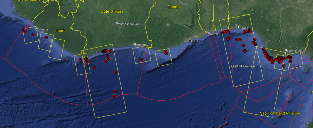
The Joint Analytical Cell (JAC) had the opportunity to support the Africa Nemo 23.04 joint patrol in the Gulf of Guinea. The annual patrol is a collaborative effort led by the French Navy responsible for the Atlantic Area (CECLANT) and included the navies of Benin, Côte d’Ivoire, Ghana, Togo, Nigeria, the European Fisheries Control Agency […]
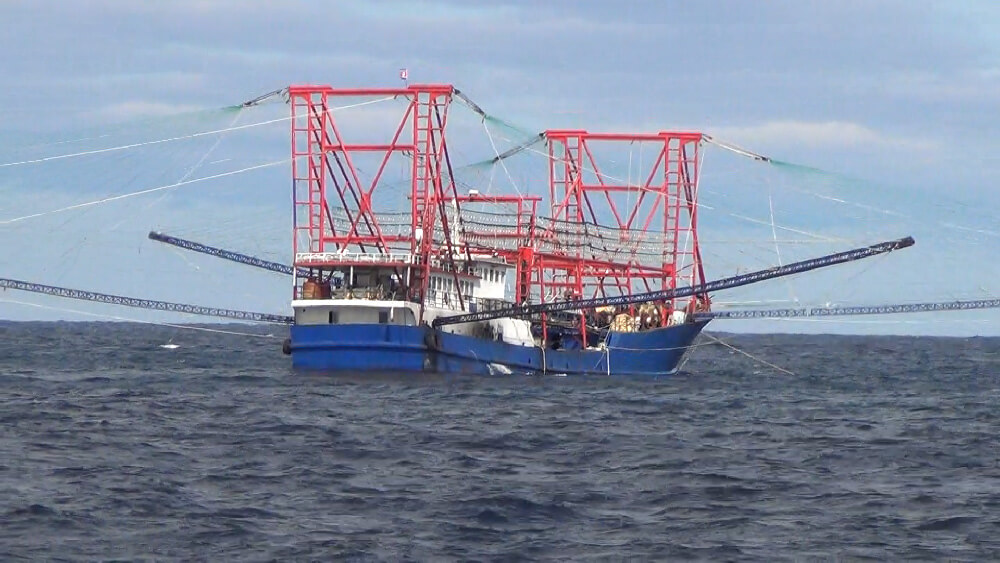
A ground-breaking study revealed that hundreds of industrial fishing vessels were illegally catching vast quantities of squid in North Korean waters – with huge economic and human costs.
How does optical satellite imagery help our efforts to map human activity at sea?

We partnered with Peru—the world’s second largest fishing nation—to make its fisheries transparent
The comprehensive guide offers more than 70 practical recommendations to leverage ocean transparency for better ocean governance

Global Fishing Watch urges SPRFMO members in Panama to boost vessel ownership transparency and tracking to combat illegal fishing.