Search results for: What is AIS

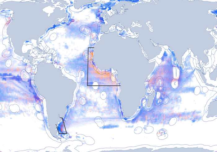
map showing disabled ais signals

Project – Disabled Signals

Projects Disabled Signals When and why vessels stop broadcasting their position The automatic identification system (AIS) has revolutionized the way fishing activity is monitored across the ocean. But vessels don’t always broadcast their locations—AIS devices can be switched off to conceal a vessel’s activity. Our work on disabled signals seeks to identify when and why […]

COVID-19 Brings Unmatched Downturn in Global Fishing Activity

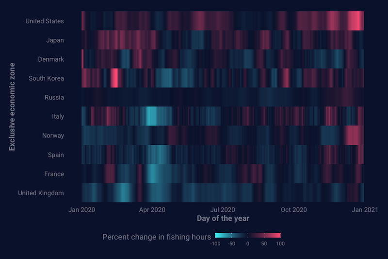
One year into the pandemic that triggered turmoil around the world, an analysis of Global Fishing Watch data sheds light on shifts in global fishing activity  As the world marks the March 11th anniversary of the World Health Organization’s declaration of the COVID-19 pandemic, the fishing sector—like many industries—continues to feel the effects. With our […]

Vessel Tracking

Vessel Tracking Related expert: Charles Kilgour We can’t manage what we can’t see.  For decades, industrial fishing has operated in the shadows, remaining one of the most opaque and unmonitored sectors in global commerce. Global Fishing Watch’s mission is to shine a light on human activity at sea, bringing transparency to global fisheries and strengthening […]

thousands of vessels are involved in close encounters at sea

Close encounters of the fishy kind

New data reveals suspected vessel rendezvous at sea and sheds light on the ‘dark’ fleet To mark World Oceans Day, Global Fishing Watch (GFW) has increased ocean transparency by releasing the first-ever ‘live’ global view of likely transshipping at sea — a practice that can mask illegal fishing activity, and imagery of night-time fishing and its location, exposing […]

Self Reported Info

Overview Automatic identification system (AIS) devices are a type of GPS tracking device that vessels use while at sea. AIS messages contain two types of information: positional messages which contain the vessel’s GPS location, course, heading and speed; and static messages which contain the vessel’s identity information including vessel name, IRCS, IMO, shiptype, dimensions and […]

fao logo

Making the Cut–Creating Our List of Fishing Vessels

This post has been adapted from “Updated Vessel Lists 0.2”  which appeared on our Data Blog for researchers and software engineers by David Kroodsma. Automating the process of identifying all industrial-scale fishing activity in near-real time on a global scale through AIS data is something that’s never been done. Inventing something new often means first […]

Scroll to Top

Help us improve the site

Take a quick website survey to help us build a better experience for visitors like you.