Search results for: What is AIS

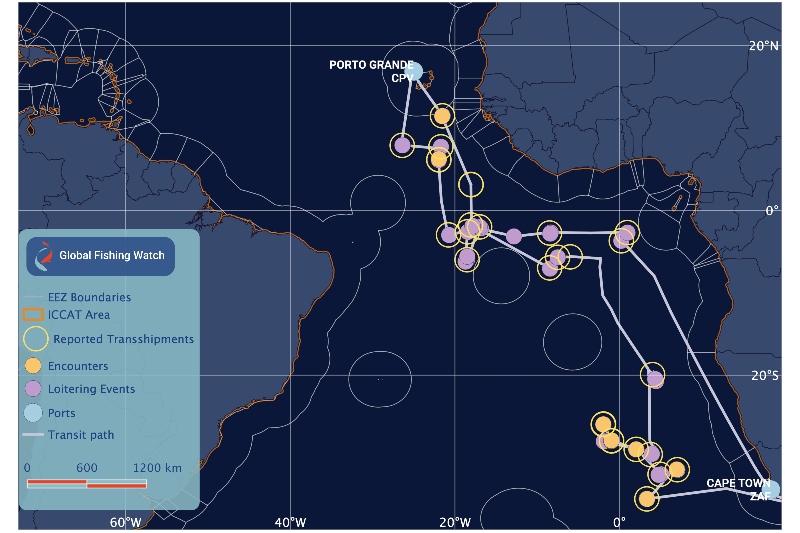
Potential encounters and loitering events of an authorized Liberian-flagged carrier vessel

Transshipment Monitoring Portal Brings Transparency to Fishing Industry

NGO collaboration will help fishery managers ensure transfer of catch is both legal and verifiable The transfer of fresh catch from fishing vessels to refrigerated cargo ships is an important but often opaque part of the industrial fishing sector. A new public global monitoring portal is a turning point in efforts to manage this activity.  […]

IUU Fishing Risk Insights Dataset Release

Eleven new behavior risk insights are now available in the data download portal. This new dataset helps practitioners and researchers identify and track vessels with a higher probability of engaging in illegal, unreported, and unregulated fishing.

A Radar-Illuminated Ocean Reveals Dark Fleets

Satellite radar imagery is lighting up our view of previously unseen fishing patterns around the world Last week, we announced the winners of the xView3 contest to use satellite radar imagery and artificial intelligence to reveal vessels at sea. This week, we give you a gist of what this technology can do when deployed at […]

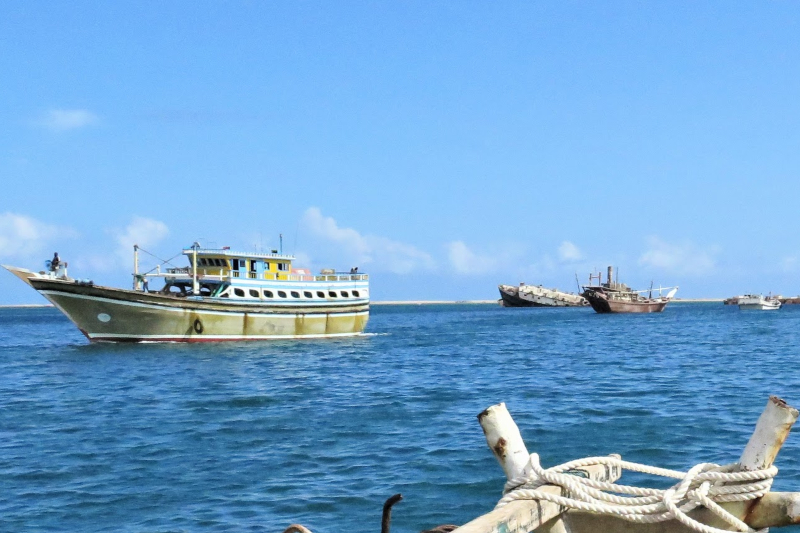
Iranian gillnet fishing vessel in Berbera harbour in 2015

Illegal Fishing Hotspot Identified in Northwest Indian Ocean

Nearly 200 Iranian vessels detected in Somali and Yemeni waters represent one of the world’s largest illegal fishing operations. Global Fishing Watch (GFW) and Trygg Mat Tracking (TMT) have been working with partners in the Northwest Indian Ocean region, including the Somali government, to identify large-scale illegal fishing that is occurring inside the waters of […]

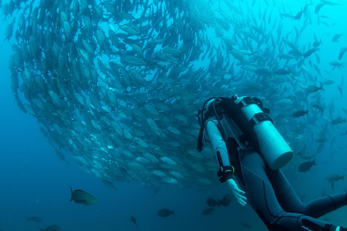
buzo

Tackling Unknowns to Advance Ocean Sustainability

Furthering innovation and collaboration is at the heart of Global Fishing Watch’s mission to advance responsible stewardship of our oceans through increased transparency. Our Research Partners program, an interdisciplinary collaboration with some of the world’s leading marine science institutes, strives to improve fisheries management and science via new research and data sharing through our public […]

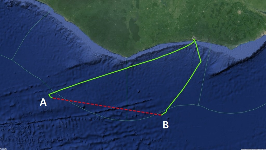
Continuous AIS signals broadcast by the purse seiner Egalabur indicated by green line

Characterizing Gaps in the Data

Just a few years ago the very idea of collecting billions of radio signals from ocean-going vessels all around the world and creating a global map of their activity in near-real time would have been unthinkable. But today’s cloud computing technology allows us to do amazing things with huge amounts of data.

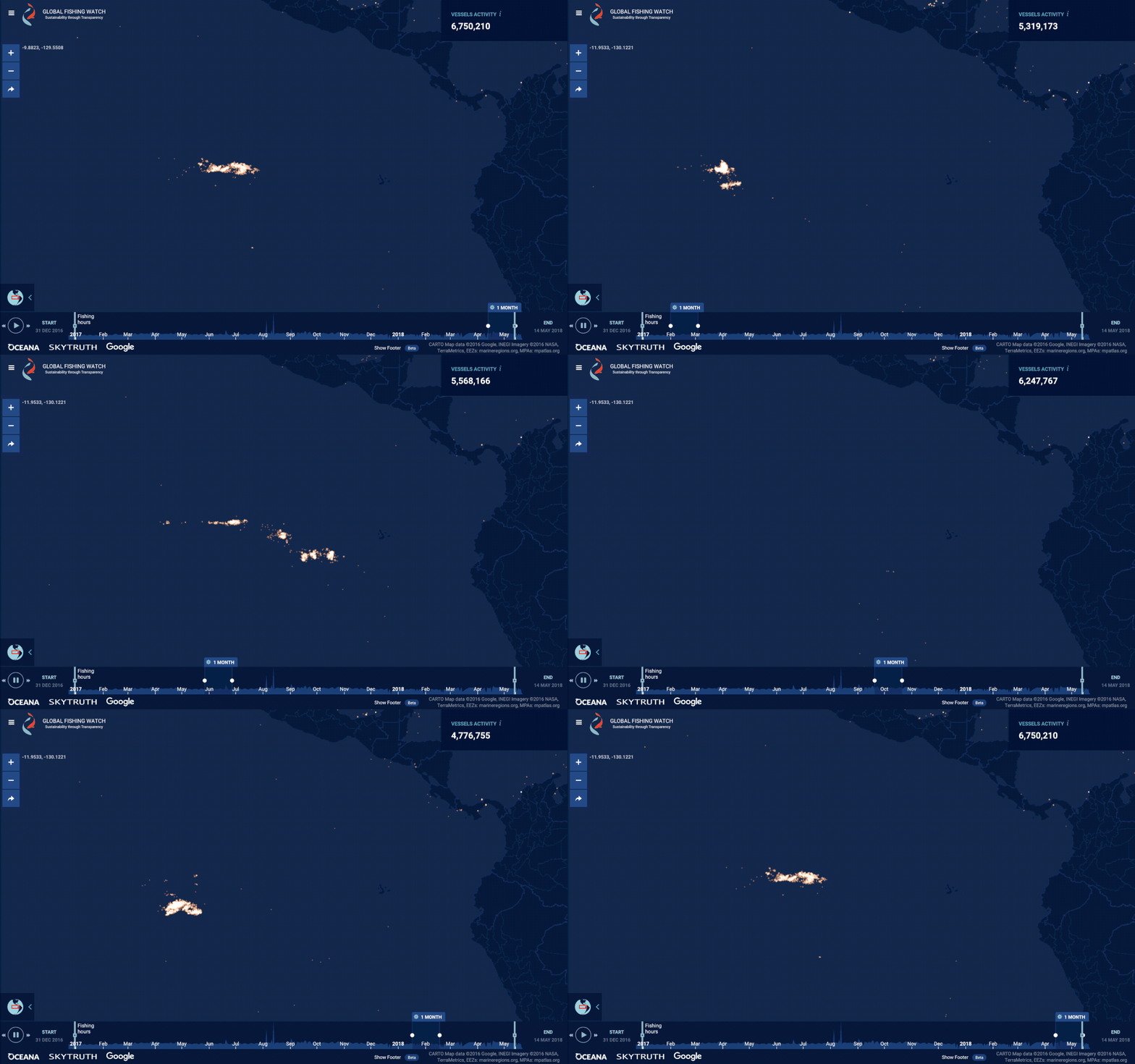
GFW New night light layer squid fleet in the Pacific

Identification of ‘dark vessels’

Using bright lights to reveal the ‘dark’ fleet Christopher Elvidge with the U.S. National Oceanic and Atmospheric Administration (NOAA)’s Earth Observation Group writes about matching night-time imagery with monitoring data from fishing vessels to shed new light on the ‘dark’ fleet. The challenges with tracking vessels Vessel tracks from Automatic Identification System (AIS) and Vessel […]

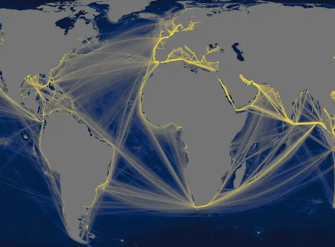
Map with glowing yellow shipping routes across Atlantic and Indian Oceans on dark blue-gray background.

Mapping industrial vessel emissions at sea

Pilot study first to estimate the greenhouse gas emissions of all large industrial vessels operating in the ocean As part of our ongoing work to shine a light on all industrial activity at sea, we have, for the first time ever, mapped and estimated the emissions of all industrial vessels operating in the ocean.  Our […]

Scroll to Top

Help us improve the site

Take a quick website survey to help us build a better experience for visitors like you.