Search results for: Fishing Map

Fishing in a Marine Park? Look Again.

After our recent post Deciphering Suspicious Behavior: It’s not always what it seems, we thought it would be insightful to post a few examples of vessel behavior that looked suspect, but turned out to be easily explained on closer inspection. Often, a look at the other vessels in the area can help explain what’s going […]

Calculating fishing effort estimates in dynamic analysis reports

Fishing effort (in hours) shown in dynamic reports is generated through a two-step process that balances speed and precision. Understanding these steps can help interpret slight differences in reported totals. Phase 1: Initial Grid-Based Estimate (Upon Report Load) When a dynamic report first loads, estimated fishing effort is calculated using heatmap data rendered as square […]

Fishing Fleet Goes Home for the Holidays

‘Tis the season, and even fishers want to be home for the holidays. The flag state filter in Global Fishing Watch allows us to select vessels flagged to a specific country or countries. In the spirit of the season, we decided to use it to see if  a cultural tradition that has nothing to do with fishing […]

Why are there large circles in which there is no apparent fishing?

The large circles without fishing are almost always exclusive economic zones (EEZs) around islands that heavily restrict or prohibit fishing (if you toggle on the EEZs Layer in the Global Fishing Watch map, you will see that they often match with these blank areas). The circles could also be marine protected areas (MPAs) that prohibit […]

How can I obtain Global Fishing Watch data or code?

To download our data directly from the Global Fishing Watch map, click on an area of interest, then select the ‘Download visible activity layers for this area’ icon within the pop-up. To learn more, watch this video tutorial. If you would like continuous, rather than static, data, you can explore our APIs here. Alternatively, download […]

Whale photo

Whaling off the map

Are whaling vessels that operate without using aids to avoid vessel collision putting the safety of biodiversity and people at risk?   This week the International Whaling Commission (IWC) has convened in Slovenia. The gathering marks the 30th anniversary of the commission’s moratorium on commercial whaling.

GFW training Peru

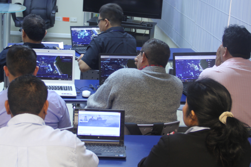
Global Fishing Watch holds workshops with authorities in Peru’s three main fishing ports

Fisheries Analyst, Eloy Aroni Global Fishing Watch recently met with port authorities and offered training on its commercial fishing activity platform in three important Peruvian fishing ports (Paita, Chimbote and Callao). Fisheries Analyst, Eloy Aroni, describes in this blog post how these meetings were an opportunity to discuss data and technology solutions to the main issues affecting […]

Global Fishing Watch logo with stylized blue and orange graphic on a dark blue background featuring digital wave patterns, and the text Global Fishing Watch in white.

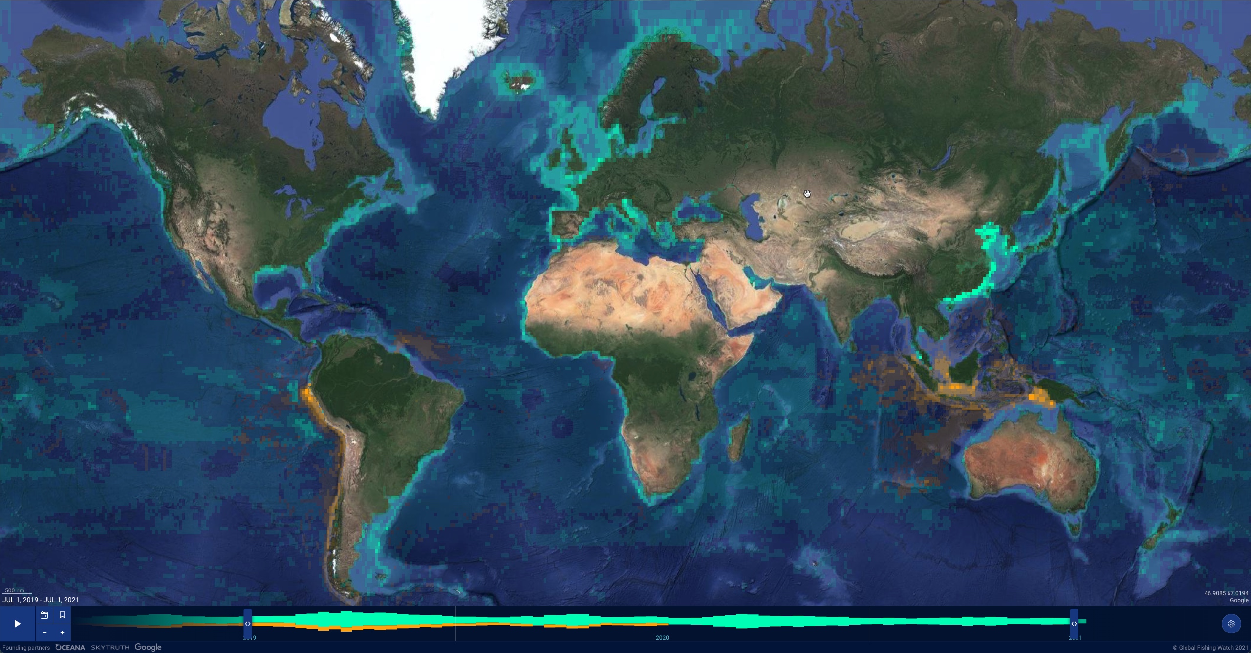
Apparent fishing effort (AIS)

The agreement will harness technology and transparency to strengthen surveillance of marine protected areas and safeguard biodiversity

New Map Revolutionizes Ocean Monitoring and Analysis

To better visualize activity at sea, Global Fishing Watch engineers new technology to power updated map Despite its overwhelming benefits and the value it brings to all life on Earth, the ocean remains one of the least observed areas of our planet. We have been able to see very little of what’s happening across the […]

Scroll to Top

Help us improve the site

Take a quick website survey to help us build a better experience for visitors like you.