Search results for: Fishing Map

Screengrab global map

Match-making at sea: how to find fishing fleets

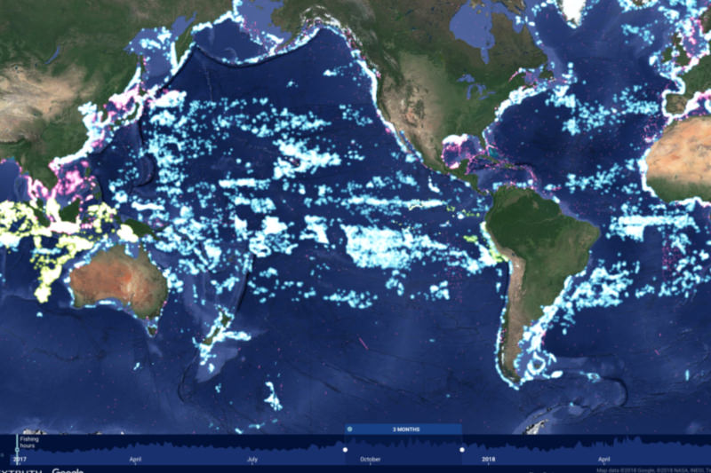
Staring at the Global Fishing Watch map, your eye is inevitably drawn to patterns of vessels that move together. These fishing patterns are most evident in the world’s longline fleets, which you can sometimes see moving north and south, as temperatures change, following migrations of fish. These fishing vessels are moving in “fleets” with similar […]

Tagged Mako Shark

Tracking Fish and Ships

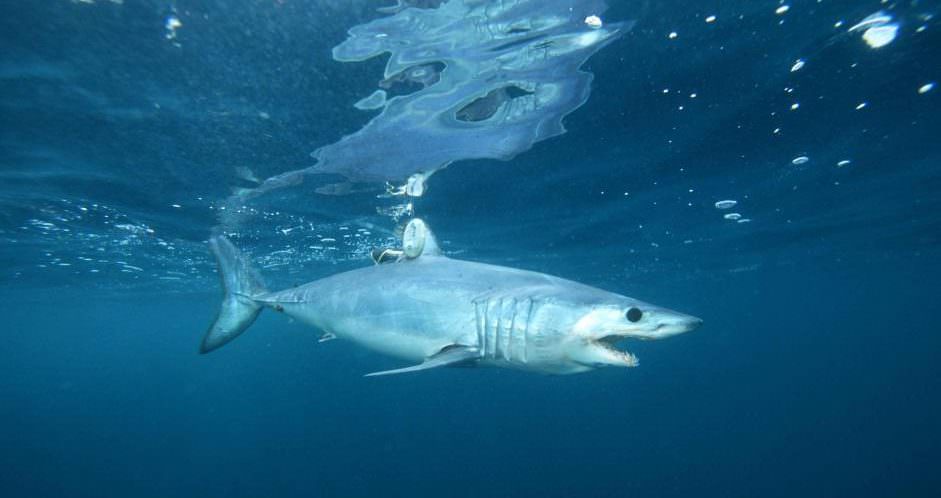
Where do sharks and boats cross paths? What about sea turtles and whales? If we knew this, maybe we could reduce the number of vulnerable marine animals that end up entangled  or accidentally caught in fishing gear. After years of monitoring large pelagic sea life with remote tracking devices, researchers have started to build a picture of […]

Global Fishing Watch Beta Release 2.0 Media Kit

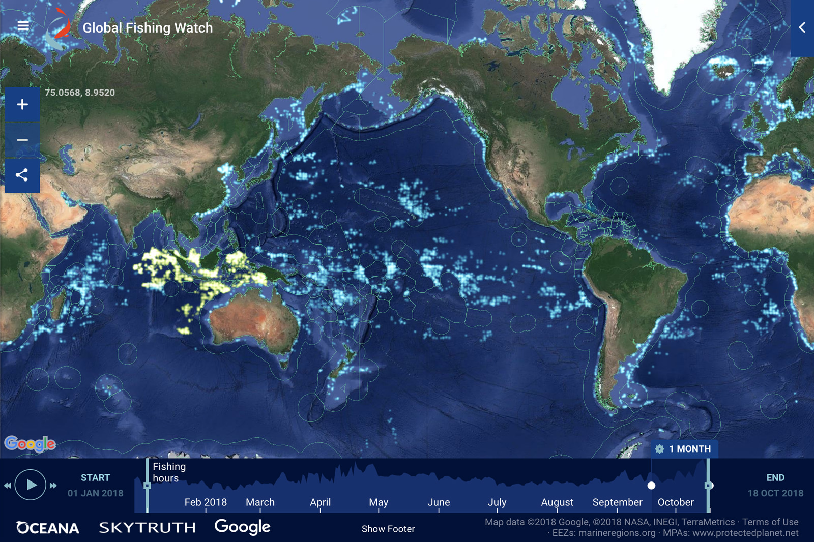
Images represent new features on the Global Fishing Watch platform, web-based interactive map. For more information, contact: Kimbra Cutlip [email protected] 443-871-1632 RIGHT CLICK ON IMAGES AND SELECT “SAVE IMAGE AS” TO DOWNLOAD BELOW: This image shows the new map interface. Each lighted point on the map reveals a fishing vessel actively engaged in fishing over a […]

GFW and Costa Rica LOI

Costa Rica commits to making its fishing fleet visible to the world

Costa Rica and Global Fishing Watch (GFW), working with the Asociación Costa Rica por Siempre and the Fundación Pacífico, have entered into an agreement to advance transparency in the country’s fisheries. Costa Rica’s Ministry of Public Security and the Ministry of Environment and Energy signed a letter of intent on May 2nd to make the […]

Updated Fishing Lists – Version 0.2

For the first release of Global Fishing Watch, we included only vessels that had more than 1000 positions in a given year, and broadcast their identity as fishing vessels 100 percent of the time in their AIS identity messages. The list of these mmsi can be seen here. However, many vessels have fewer than 1000 position […]

What datasets are used to create the reference layers on Global Fishing Watch’s map?

To help you analyze fishing activity around the world, Global Fishing Watch provides reference layers that show important ocean boundaries. We do not create these boundaries ourselves. Instead, we source them from the external organizations that are responsible for defining and managing each area. If an official source is not available, we use data from […]

mapbox global

New map features – from improved custom layer uploads to updated MPA layers

Today, we are releasing an updated version of the Global Fishing Watch map that is easier to use and includes several new features. It also increases your ability to customize the map view. This update comes in response to some great feedback we’ve been getting from our community. You can now: Import custom polygon layers […]

Why is there fishing in an area marked as an MPA?

Some marine protected areas restrict only certain types of fishing (e.g. trawl fishing) but allow other types of fishing. Some fishing vessels also use multiple different gear types for fishing, which may lead to differences in how fishing is represented in the map for this vessel. Some marine protected areas are at varying stages of […]

Scroll to Top

Help us improve the site

Take a quick website survey to help us build a better experience for visitors like you.