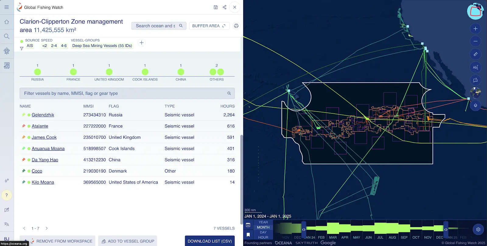
Deep Sea Mining Watch Portal
A new enhanced public portal that tracks and visualizes vessels engaged in deep-sea mineral activities.

A new enhanced public portal that tracks and visualizes vessels engaged in deep-sea mineral activities.

Our new optical satellite imagery detections layer delivers clearer views of vessels at sea, offering expanded coverage and unprecedented nearshore detail.
John Amos Global Fishing Watch co-founder CEO, SkyTruth John Amos is an expert in the use of satellite images and other remote sensing data to understand and communicate local, regional, and global environmental issues. In 2001 Amos founded SkyTruth, a non-profit organization dedicated to strengthening conservation by illuminating environmental problems and issues through the use […]

Annie Mejaes Associate Product Manager Vancouver Island, Canada Annie supports the product development team in the execution and maintenance of Global Fishing Watch’s map and marine manager portal, helping to advance ocean governance through access to open ocean data. She works with external stakeholders to cultivate feedback channels, coordinates the design and delivery of training […]
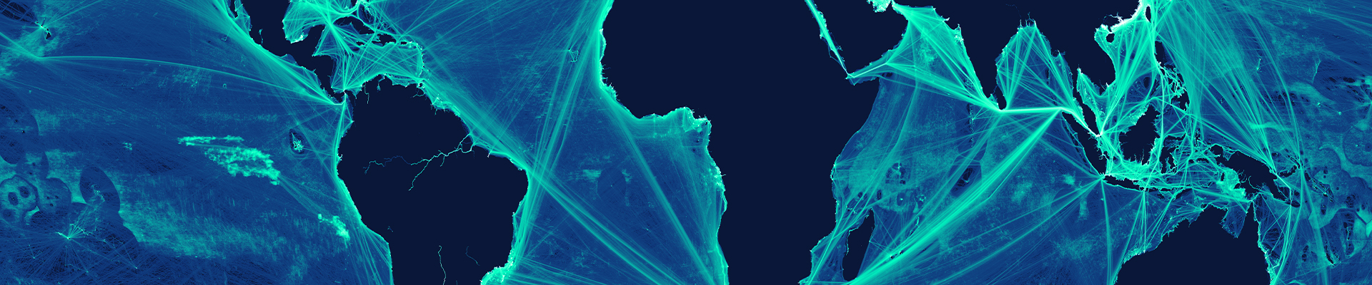

A Global Footprint of Our Engagement Where we work To support our vision of creating a healthy, productive and resilient ocean where transparency drives fair and effective governance of marine resources, Global Fishing Watch works closely with national governments and multilateral institutions to improve management decisions, combat illegal fishing and safeguard biodiversity. [display-map id=’54684′]
Overview Automatic identification system (AIS) devices are a type of GPS tracking device that vessels use while at sea. AIS messages contain two types of information: positional messages which contain the vessel’s GPS location, course, heading and speed; and static messages which contain the vessel’s identity information including vessel name, IRCS, IMO, shiptype, dimensions and […]
Carrier Vessel Portal Disclaimers Data Caveats The analysis presented in this portal relies on commercially available AIS data and publicly available information. Therefore, AIS data is limited to only those vessels that transmit on AIS and do so by providing accurate vessel identity information. Learn more about AIS data here and here. Portal Usage This […]

We updated our Synthetic Aperture Radar data pipeline to address a recent technical issue in our processing infrastructure.

Ask the Expert Pete Davis Data scientist What challenges exist in identifying offshore oil and wind structures when developing fixed infrastructure models? Creating a picture of what’s taking place beyond the horizon is far from easy. Our recent study analyzed 2 million gigabytes of satellite imagery to detect vessels and offshore infrastructure in coastal waters […]