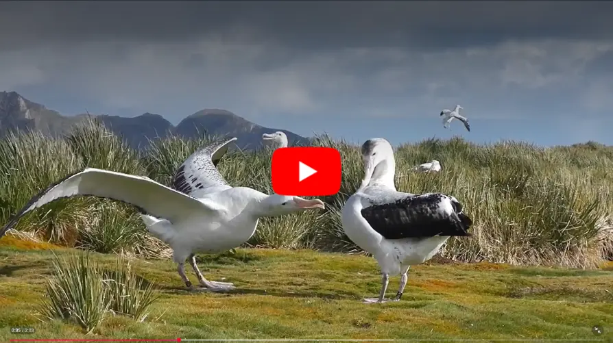
New research uses GPS data to reveal longline vessels pose significant risk to threatened albatross
GPS data reveals most longline fishing happens during the day, increasing danger for threatened albatrosses.

GPS data reveals most longline fishing happens during the day, increasing danger for threatened albatrosses.
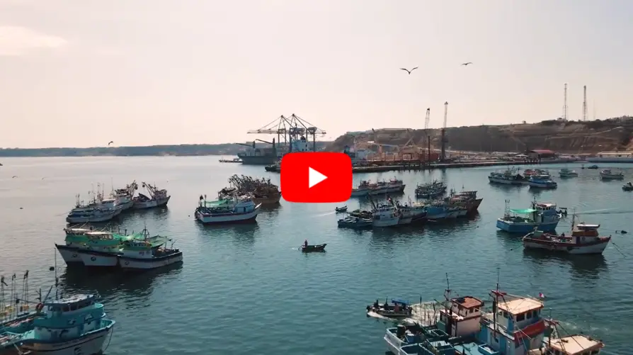
Tim White, senior manager of Analysis at Global Fishing Watch, explains how his work supports governments in developing policies and improving fisheries management.
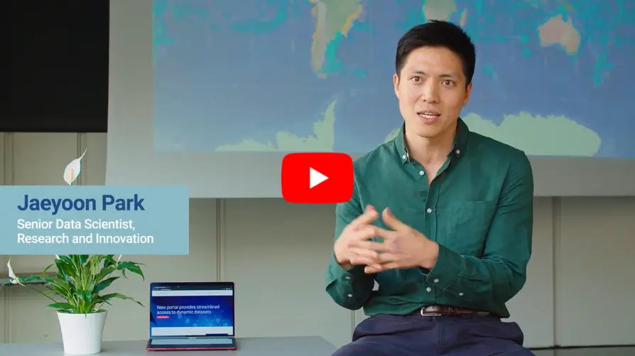
Jaeyoon Park, a data scientist at Global Fishing Watch, explains how data can be harnessed to inform research and drive better ocean governance.

Access 12 new environmental datasets and enhanced visualization of uploaded datasets in Marine Manager.
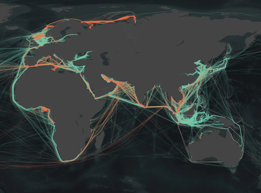
New satellite analysis reveals widespread pollution from offshore oil operations threatening ocean and climate A surge in offshore oil and gas operations is leaving a slick trail of pollution across the world’s oceans, a new report from environmental watchdog SkyTruth has revealed. The report, titled Exposing the Environmental Costs of Offshore Oil: Greenhouse Gas Emissions, […]
View and download map images, data visualizations and access a range of technology products. Images, including descriptions and copyright information, can be found in our MEDIA LIBRARY . Map and data help Use our video tutorials to investigate fishing activity on our public map or use other tools and products. See video tutorials Visit our […]

As a historic governance gap closes, accessible and actionable data remain key to delivering real protection for marine biodiversity, says Global Fishing Watch CEO Tony Long

Events and vessel detections may show in our platform, but tracks are missing.

New API is designed to provide users with a method for efficiently accessing and downloading larger volumes of data.

Global Fishing Watch AIS data has been enhanced by the addition of Marine Traffic terrestrial receivers.