
Advancing Trust in Ocean Governance Starts With Responsible Data Practices
Global Fishing Watch and Open Data Institute tackle ethical use of AI and open data – and how it can be applied to bolster ocean governance

Global Fishing Watch and Open Data Institute tackle ethical use of AI and open data – and how it can be applied to bolster ocean governance
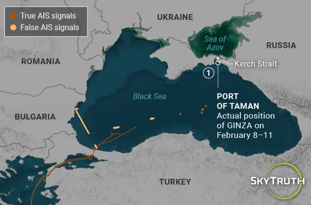
This article was originally published by SkyTruth on May 31, 2023.

no
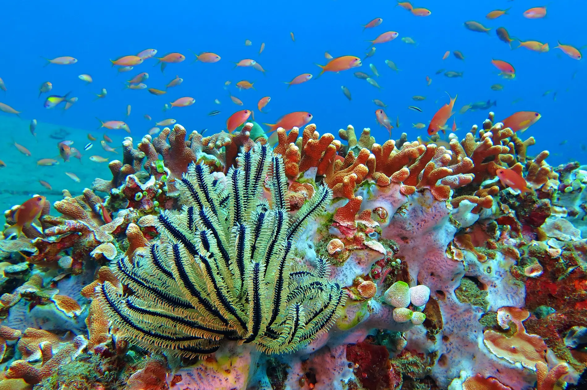
Biodiversity Related expert: Charles Kilgour Transparency and technology for better ocean protection The international community has set a bold target: to protect 30 percent of the ocean by 2030. While a historic commitment to biodiversity, the clock is ticking. With fewer than five years remaining, less than 10 percent of the ocean is designated for […]

Explore the newly expanded Cocos Island National Park in Costa Rica. Learn about the ecological significance and diverse marine wildlife in this protected area.
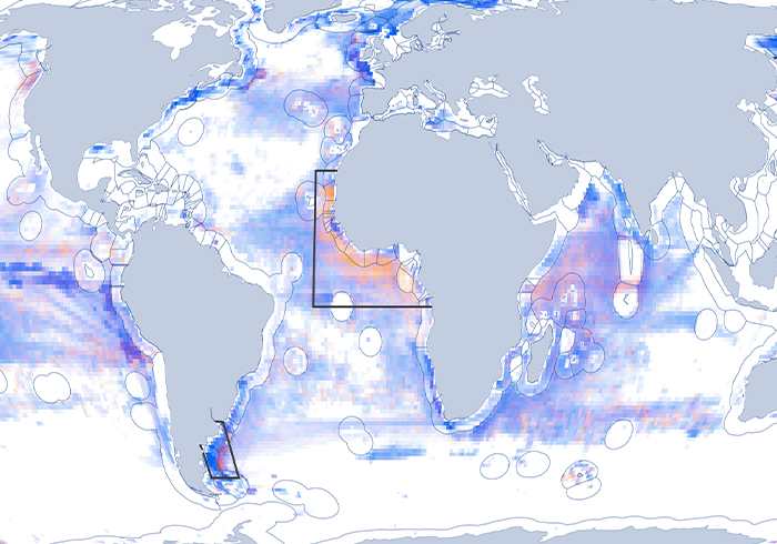
Projects Disabled Signals When and why vessels stop broadcasting their position The automatic identification system (AIS) has revolutionized the way fishing activity is monitored across the ocean. But vessels don’t always broadcast their locations—AIS devices can be switched off to conceal a vessel’s activity. Our work on disabled signals seeks to identify when and why […]
Revolutionizing Ocean Monitoring and Analysis GO TO THE MAP Partnering with Planet High-resolution optical imagery from Planet is expanding views of coastal activity and small vessels, leading to significant advances in vessel detections around the globe. Learn more Mapping Human Activity at Sea From Space Satellite imagery, vessel GPS data and machine learning are used […]
Learn how Global Fishing Watch empowers governments, researchers and the public with open data to advance transparency and sustainable ocean governance.
Access to AIS vessel presence data is now available through the 4Wings API.

Analyze and understand a vessel’s history pattern through new vessel profiles.