Search results for: What is VMS

Bright Lights Reveal the “Dark” Fleet: Media Kit

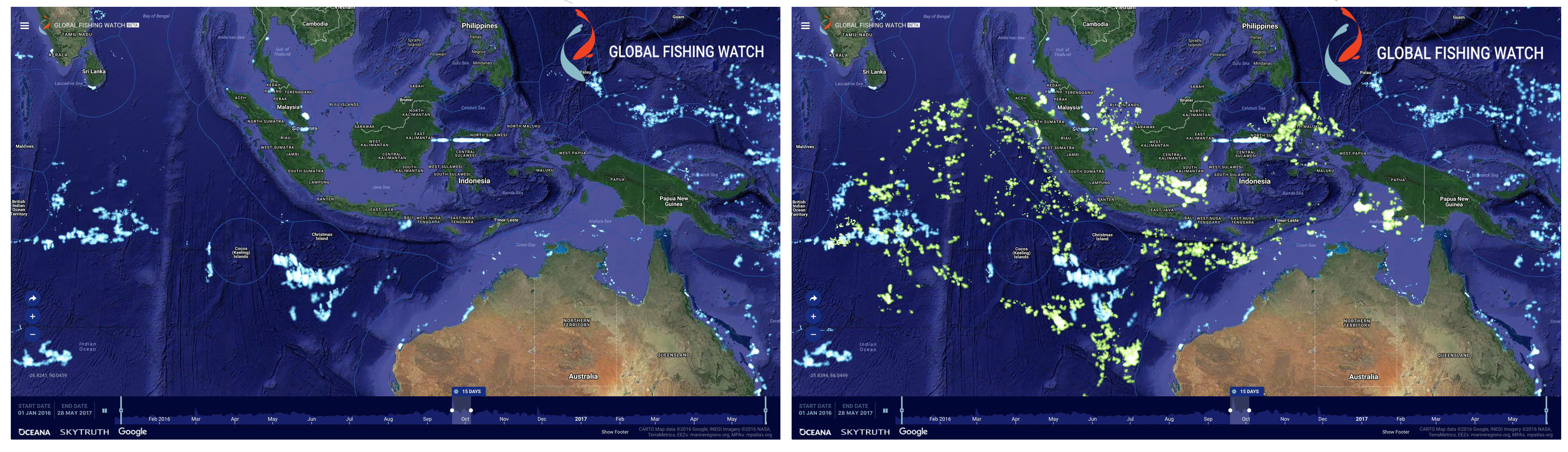
CAPTION: Arufura Sea, January, 2018. Vessel Monitoring System (VMS) data from Indonesia is shown in the Global Fishing Watch map as yellowish dots. This image is overlayed with data from NOAA’s satellite-based Visible Infrared Imaging Radiometer Suite (VIIRS) which detects many vessels not broadcasting VMS. VIIRS-detected vessels are shown here as blue sailboats. CREDIT: Global […]

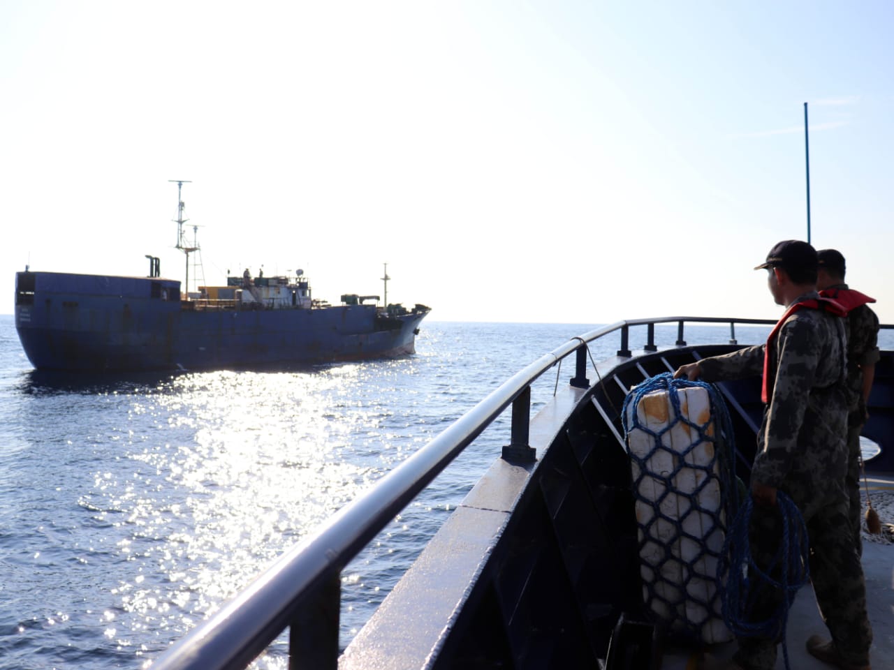
Interception of MV NIKA

Sharp decline in foreign fishing boats in Indonesian waters – Global Fishing Watch analysis

Jakarta, Indonesia – The presence of foreign fishing vessels in Indonesian waters has declined significantly since a ban was enacted in November 2014 by the Minister of Maritime Affairs and Fisheries, Susi Pudjiastuti, according to new analysis by Global Fishing Watch (GFW).  By analysing data from the Automatic Identification System (AIS) (1), an open source vessel tracking […]

Datasets and Code: Apparent Fishing Activity

Datasets and Code: Apparent Fishing Activity Global Fishing Watch’s flagship dataset is apparent fishing activity based on transmissions broadcast using automatic identification system (AIS) and vessel monitoring systems (VMS) shared by country partners. In 2018, we published the first global assessment of commercial fishing activity in the journal Science. Our research found that fishing is […]

Global Fishing Watch Makes a Splash at the UN Ocean Conference

A traditional Fijian welcoming ceremony complete with meke dancing. Giant sculptures of sea creatures made of ocean trash along the East River. Announcements of MPA designations and other commitments to marine conservation by leaders from all over the world. As our Global Fishing Watch team arrived at the United Nations (UN) Headquarters in New York […]

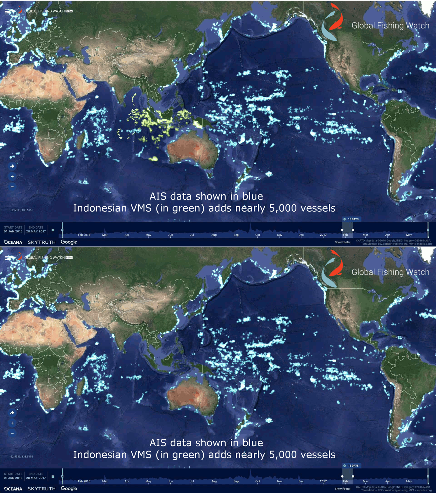
Global Fishing Watch uses publicly broadcast AIS signals to track fishing vessels. On the Global Fishing Watch heat map, every lighted point represents a fishing vessel. The blue points are vessels detected through AIS, the green points represent nearly 5,000 additional vessels revealed through Indonesia’s Vessel Monitoring System data.

Year One Opened a New Era of Transparency in Commercial Fishing – What’s Next?

When Global Fishing Watch launched last year, we opened a new era of transparency in commercial fishing. For the first time, an interactive platform for tracking the location and behavior of the largest commercial fishing vessels – and the data that drives it – was made available for free to organizations and individuals to accelerate […]

Vessel Tracking

Vessel Tracking Related expert: Charles Kilgour We can’t manage what we can’t see.  For decades, industrial fishing has operated in the shadows, remaining one of the most opaque and unmonitored sectors in global commerce. Global Fishing Watch’s mission is to shine a light on human activity at sea, bringing transparency to global fisheries and strengthening […]

AIS and Indonesian VMS Comparisson animation

Indonesia must continue marine transparency leadership

Jakarta, Indonesia – Ahead of the presidential election debate, the international non-profit organisation, Global Fishing Watch, calls on presidential candidates to commit to transparency in the management of the marine and fisheries sector, in order to fight illegal fishing and ensure the benefits of well-managed marine resources can be enjoyed by the Indonesian people. On February […]

people in room

In Latin America, Training Helps Governments to Discover Suspicious Behavior

Global Fishing Watch reinstates in-person training with partners to strengthen the use of technology in support of responsible ocean management Lack of available information on global and regional fishing activity is one of the biggest challenges when it comes to monitoring the ocean and understanding the true extent of humanity’s impact on the sea.  To […]

Belize to publish vessel tracking data through Global Fishing Watch

Oceana and Global Fishing Watch applaud Belize’s leadership on fisheries transparency Belize City, Belize.  – The Belize High Seas Fisheries Unit (BHSFU) has signed a memorandum of understanding (MOU) to make its vessel tracking data publicly available through the Global Fishing Watch map, which tracks the movements of commercial fishing vessels in near real-time. The […]

Scroll to Top

Help us improve the site

Take a quick website survey to help us build a better experience for visitors like you.