Search results for: What is AIS

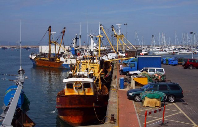
Fishing trawlers at Brixham

What Ports Can Tell Us

Ports provide an important source of information to help us combat Illegal fishing and understand the science and economics of global fisheries. “They serve as the interface between land and sea for fishing vessels,” says Wessley Merten, our data and fisheries analyst at Oceana. “Wherever there’s a port, there’s an interaction. Whether it be offloading catch, […]

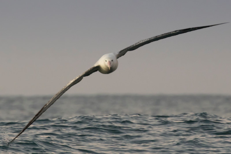
albatross

The Tale of the Albatross and the Algorithm

The first-ever satellite mapping of fishing vessel behaviours has identified that very few vessels are using one of the key techniques to avoid accidentally killing albatrosses. Researchers hope a new analytics tool demonstrates that satellite data can help monitor efforts to reduce seabird mortality in fishing operations, and drive more transparency in general in the global fishing industry. […]

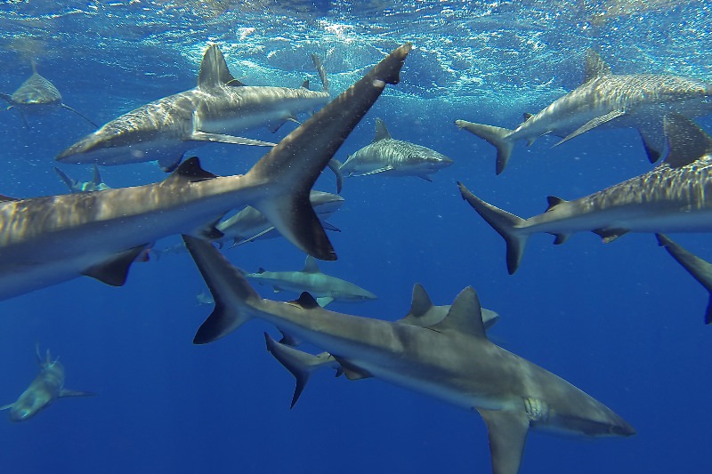
Grey Reef Sharks

How can vessel tracking technology help to create true shark sanctuaries?

Darcy Bradley is a postdoctoral researcher at University of California – Santa Barbara’s Bren School of Environmental Science & Management. Her recent publication in Conservation Letters, Leveraging satellite technology to create true shark sanctuaries, examined how advancements in tracking technology can help us better understand illegal fishing activity and therefore improve fisheries management.  What do you […]

Global Fishing Watch logo on a blue background, featuring stylized red and blue fish forming a circular shape to the left of the white text Global Fishing Watch.

Open ocean project timeline

Open Ocean Project Timeline The open ocean project details our efforts in building an interactive online map that publicly reveals all industrial human activity at sea. Follow our progress toward this audacious goal to transform ocean management by making the invisible visible. September2025Partnering with Planet to bring coastal waters and small vessels into focus High-resolution […]

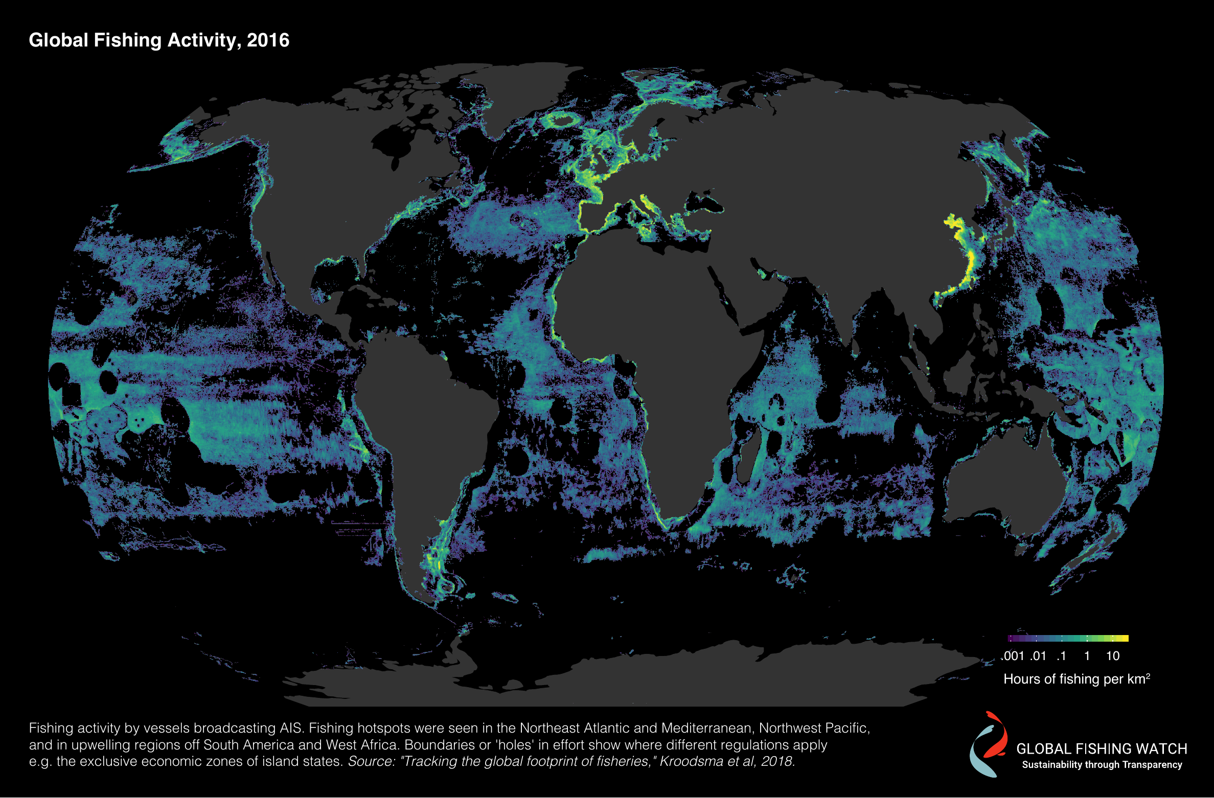
Global Fishing Activity

Measuring the Footprint of Fisheries

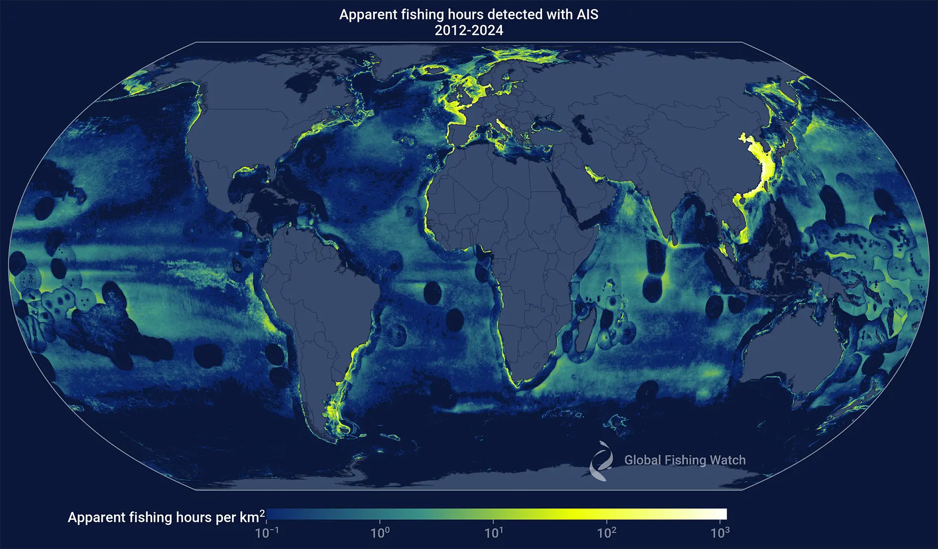
Earlier this year we published in Science the first global assessment of fishing activity using AIS data, providing an unprecedented view into the activity of tens of thousands of large, industrial fishing vessels. We’ve made these fishing effort data publicly available, which is now leading a slew of advances in our understanding of fishing in […]

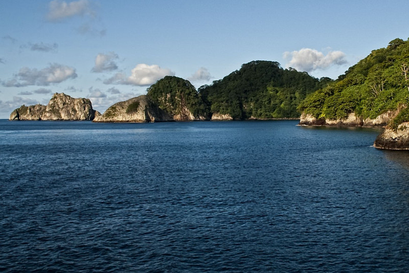
Cocos Island

Protecting Cocos Island

The Cocos Island National Park (CINP) is located in the Eastern Tropical Pacific, 532 km southwest of Costa Rica. Consisting of  a 24 square km island and a 1,989 square km marine area, including a 12 nautical mile no-take zone surrounding the island, it was declared a World Heritage site by UNESCO in 1997 and […]

Scroll to Top

Help us improve the site

Take a quick website survey to help us build a better experience for visitors like you.