Search results for: What is AIS

Example of AIS Data for One Vessel Nov 1, 2016

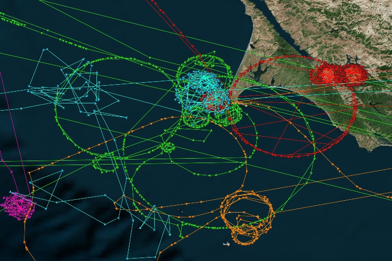
The sample vessel track below shows position broadcasts of the Jin Sheng No.2, a Chinese fishing vessel with mmsi number 413270430. Over three weeks in March of 2015, this vessel steamed from the central Pacific to the coast of Japan, Korea, and China. While moving, a vessel broadcasts its position via AIS every 2 to […]

mgel logo

Example of AIS Data for One Vessel

This post originally appeared on our Data Blog  The sample vessel track below shows position broadcasts of the Jin Sheng No.2, a Chinese fishing vessel with mmsi number 413270430. Over three weeks in March of 2015, this vessel steamed from the central Pacific to the coast of Japan, Korea, and China. While moving, a vessel […]

AIS Gaps by Fleet

AIS GAPS BY FLEET: January 1, 2017 – July 10,2017 On the maps below, each point indicates the start of a gap in AIS signals from a fishing vessel lasting more than 24 hours. [Read about our AIS gap analysis around the Argentine Exclusive Economic Zone] Number of gaps by flag state:

Can fishing vessels turn off their AIS?

Fishing vessels can turn off their AIS – and Global Fishing Watch can help detect when this appears to occur. We can also flag instances where ships disappear or appear suddenly, jump thousands of miles at once, or appear to fish on land. AIS was primarily designed as a safety mechanism to help avoid collisions […]

Can I download raw AIS data?

The raw AIS data we use is commercial data and we cannot make it freely available to the public. However, we have created a sample dataset of labeled anonymized AIS data that can be used to train fishing prediction models.

Marine Traffic added as a new AIS source

From 3 January 2024, Global Fishing Watch AIS data has been enhanced by the new addition of Marine Traffic terrestrial receivers. Global Fishing Watch purchased Marine Traffic data in order to supplement the loss of Orbcomm supplied data which ended on 31 December 2022 (more detail here). The Marine Traffic data is located in three […]

ORBCOMM AIS Data Sublicense Agreement

Sublicensee has a non-exclusive, non-transferable, worldwide license to use certain Automatic Identification System (“AIS”) global data collected via the ORBCOMM system of AIS equipped low-Earth orbit satellites and other AIS data sources (the “AIS Data”) for (1) non-commercial purposes including, but not limited to, research and educating the public concerning illegal fishing activity, including for […]

New Techniques Reveal Fishing Vessel Identities in the Dark of Night

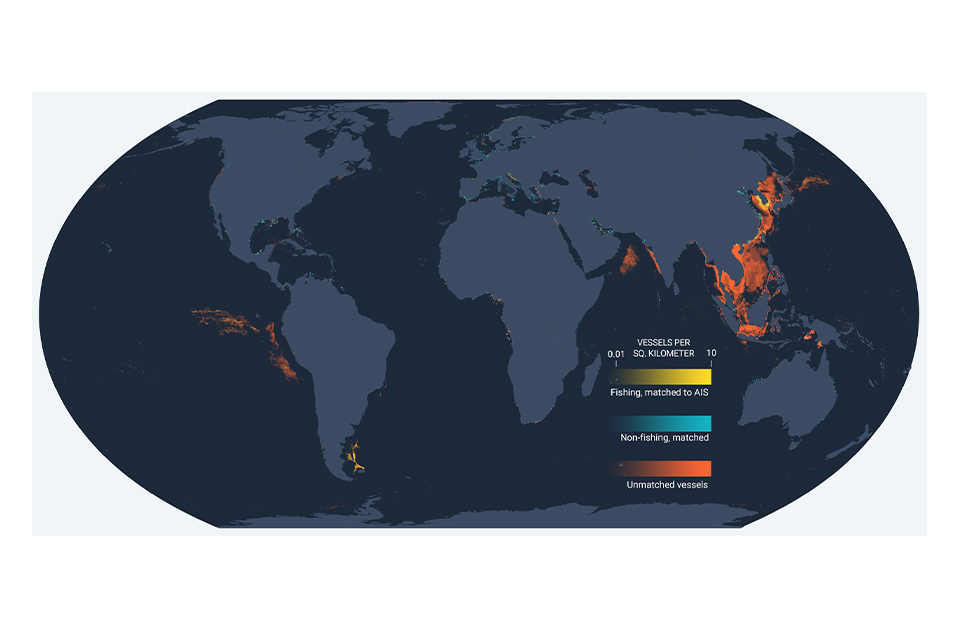
New Global Fishing Watch technology merges nighttime images with GPS datasets to observe vessels not broadcasting their positions When the sun sets, human activity on the ocean goes on. And every night, satellites snap a picture of all the activity taking place down below, including vessels at sea. Vessels often are equipped with bright lights […]

Scroll to Top

Help us improve the site

Take a quick website survey to help us build a better experience for visitors like you.