Search results for: Fishing Map

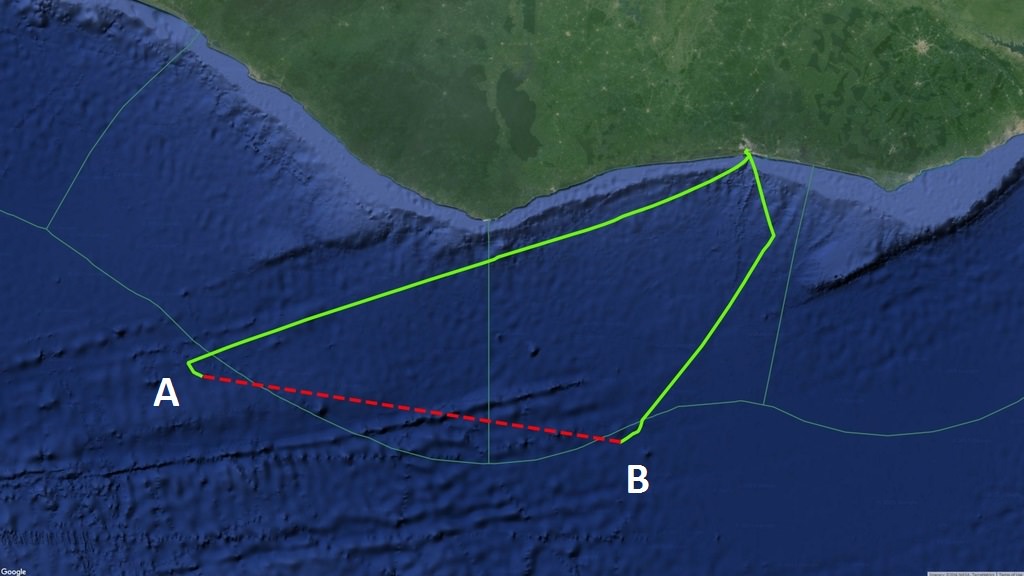
Continuous AIS signals broadcast by the purse seiner Egalabur indicated by green line

Characterizing Gaps in the Data

Just a few years ago the very idea of collecting billions of radio signals from ocean-going vessels all around the world and creating a global map of their activity in near-real time would have been unthinkable. But today’s cloud computing technology allows us to do amazing things with huge amounts of data.

New data download portal

New Data Download Portal

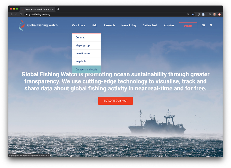
Global Fishing Watch is excited to announce the launch of our data download portal, a new system for accessing our data. This platform is designed to provide a more streamlined, flexible, and customizable approach to downloading our data, with the goal of facilitating more frequent data updates moving forward. The portal will be used to […]

Example of AIS Data for One Vessel Nov 1, 2016

The sample vessel track below shows position broadcasts of the Jin Sheng No.2, a Chinese fishing vessel with mmsi number 413270430. Over three weeks in March of 2015, this vessel steamed from the central Pacific to the coast of Japan, Korea, and China. While moving, a vessel broadcasts its position via AIS every 2 to […]

Fishing Vessels in Port

Spoofing: One Identity Shared by Multiple Vessels

The satellite-based Automatic Identification System (AIS) that we use for tracking vessels is a radio transmission system in which a ship sends a coded message that can be picked up by satellite and land-based receivers. The code includes

mgel logo

Example of AIS Data for One Vessel

This post originally appeared on our Data Blog  The sample vessel track below shows position broadcasts of the Jin Sheng No.2, a Chinese fishing vessel with mmsi number 413270430. Over three weeks in March of 2015, this vessel steamed from the central Pacific to the coast of Japan, Korea, and China. While moving, a vessel […]

AIS Gaps by Fleet

AIS GAPS BY FLEET: January 1, 2017 – July 10,2017 On the maps below, each point indicates the start of a gap in AIS signals from a fishing vessel lasting more than 24 hours. [Read about our AIS gap analysis around the Argentine Exclusive Economic Zone] Number of gaps by flag state:

vessel density global map

What Does Five Billion Look Like?

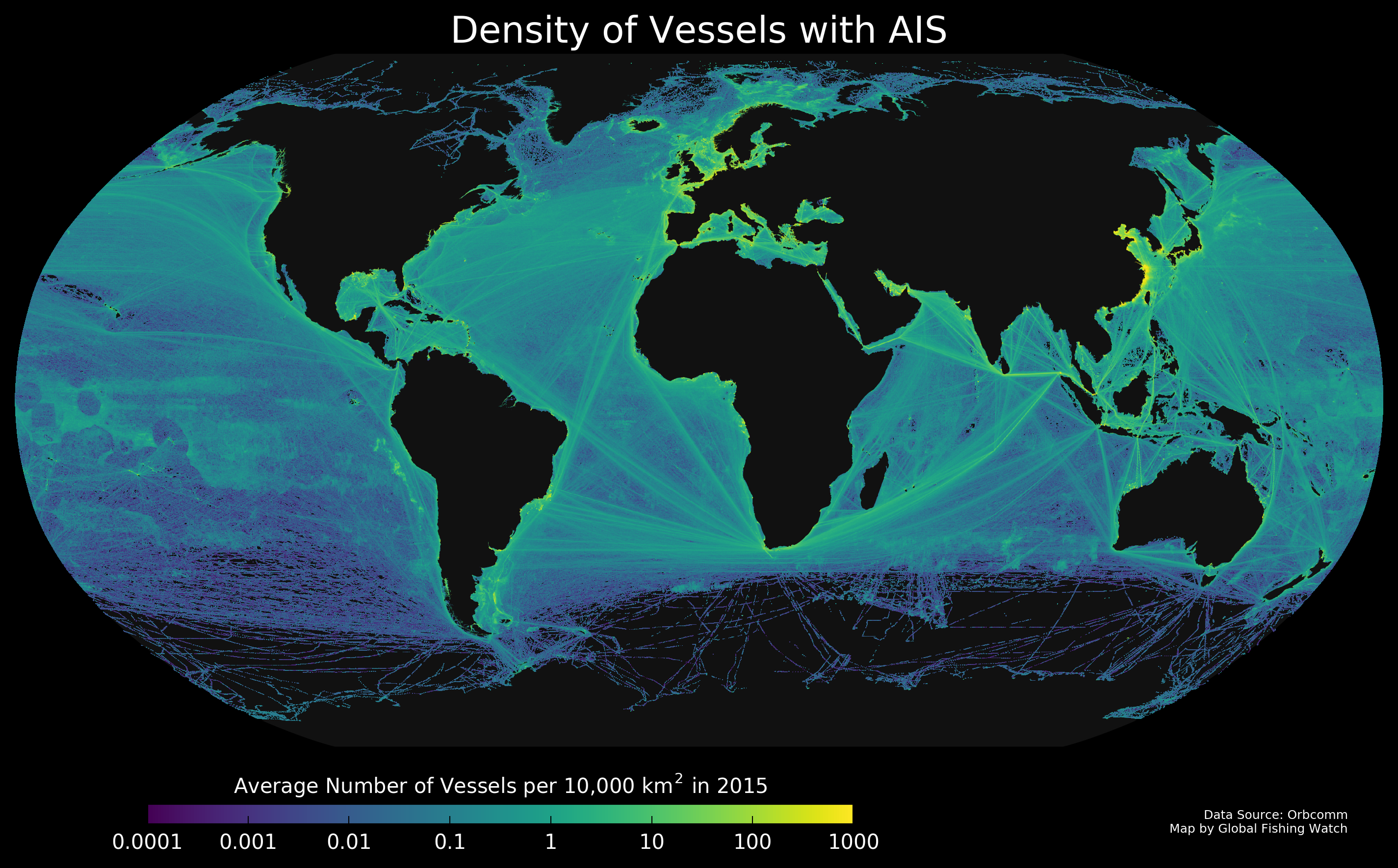
Every day we download more than 20 million data points, giving us the positions of the about two hundred thousand vessels in the world. To see where these vessels traveled in 2015, I plotted their positions to create the map you see above. This map shows all vessels carrying AIS, and not just fishing vessels, and […]

What is VMS?

Vessel monitoring system, or VMS, tracks vessels in a similar way to AIS, but has historically been restricted to government regulators or other fisheries authorities. Several countries have released their VMS publicly on the Global Fishing Watch map. VMS systems broadcast positions at set intervals and some systems allow operators to increase transmission frequency when […]

Scroll to Top

Help us improve the site

Take a quick website survey to help us build a better experience for visitors like you.