Search results for: Fishing Map

Yushin Maru track in Hawaiian EEZ

Where are the Whalers?

Last week, a visitor to our site asked if Global Fishing Watch can be used to track whaling ships. The short answer is yes, sometimes. At the moment, our machine learning algorithms are being designed to classify three major types of fishing activity—trawling, longlining and purse seining—but some whaling vessels report themselves as “fishing vessels,” […]

Transshipment Data and Report

Today we published our initial research on transshipment at sea. Transshipment at sea is where a fishing vessel offloads its catch to a refrigerated cargo vessel (or “reefer”) far from port. You can download a copy of our report via this link. The image above was created by our data scientist Nate Miller, who has spent […]

What does AIS look like

What Does an AIS Message Look Like Anyway?

Automatic Identification System (AIS) messages are transmitted over radio waves. The system was designed, in part, so that vessels could “see” the positions of nearby ships on a monitor and avoid collisions. These radio signals are received by satellites and used for many monitoring purposes. Each boat can broadcast a distinct message as often as every two […]

Web Visualization at Scale

Background One of the main outputs of the Global Fishing Watch project is the interactive map of global fishing. This map presented some particular challenges to implement. This blog post is about these challenges and our solutions to them. Vessel tracks are derived from time series data, that is, ordered points, each of which each have […]

What data is used to create the carrier vessel portal?

The data in the portal is created using automatic identification system (AIS) data. AIS transmits a ship’s position so that others can be made aware of its location and avoid potential collision. AIS transmits a ship’s location, speed, direction, and identity information, such as a vessel’s name and flag. Global Fishing Watch uses AIS data […]

From Vessels to Fleets – A Data Science Journey with HDBSCAN

When we look at the Global Fishing Watch map, we often see fishing activity that appears to move together. That is, we see groups of vessels consistently fishing in proximity to each other even as the group as a whole moves about the ocean. In other words, we see fleets.  Some members of our team, […]

Our Data in Earth Engine

Today, with our publication in Science, we are releasing fishing effort data for 2012 to 2016. One of the ways we are releasing it is through Google’s Earth Engine. There is a bit of a steep learning curve on Earth Engine – you have to be able to code in JavaScript or Python. But once you […]

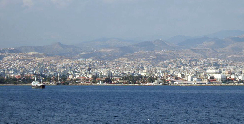
Vessel heading to port at Limassol, Cyprus

Tweeting End of Season

Check out this Tweet by Rustu Yucel who used the Global Fishing Watch map to watch the close of the fishing season in Cypress this summer!

AIS Coverage – Data Coming Soon

Along with the recent release of our fishing effort data, we are also releasing information on how good AIS coverage is for different parts of the world. That is, in some parts of the ocean, an AIS signal sent by a vessel is very likely to be in our database, and in others, it is less likely […]

Scroll to Top

Help us improve the site

Take a quick website survey to help us build a better experience for visitors like you.