Ask Global Fishing Watch: Optical satellite imagery
How does optical satellite imagery help our efforts to map human activity at sea?

How does optical satellite imagery help our efforts to map human activity at sea?

Quickly analyze fishing or vessel activity in any area or time range and access a new ProtectedSeas Navigator layer.

Analyze and understand a vessel’s history pattern through new vessel profiles.

Access 12 new environmental datasets and enhanced visualization of uploaded datasets in Marine Manager.

2025 One Ocean Science Congress Research Poster: Tenfold increase in public vessel tracking supports science, management and policy Related expert: David Kroodsmahttps://youtu.be/FItXh5Don0s Download: 2025 One Ocean Science Congress research poster References Kroodsma, D. A. et al. Tracking the global footprint of fisheries. Science 359, 904–908 (2018). Park, J. et al. Tracking elusive and shifting identities […]

A new filterable reference layer shows points associated with oil, wind or other offshore activities.

A new Python package is available for interacting with Global Fishing Watch APIs.
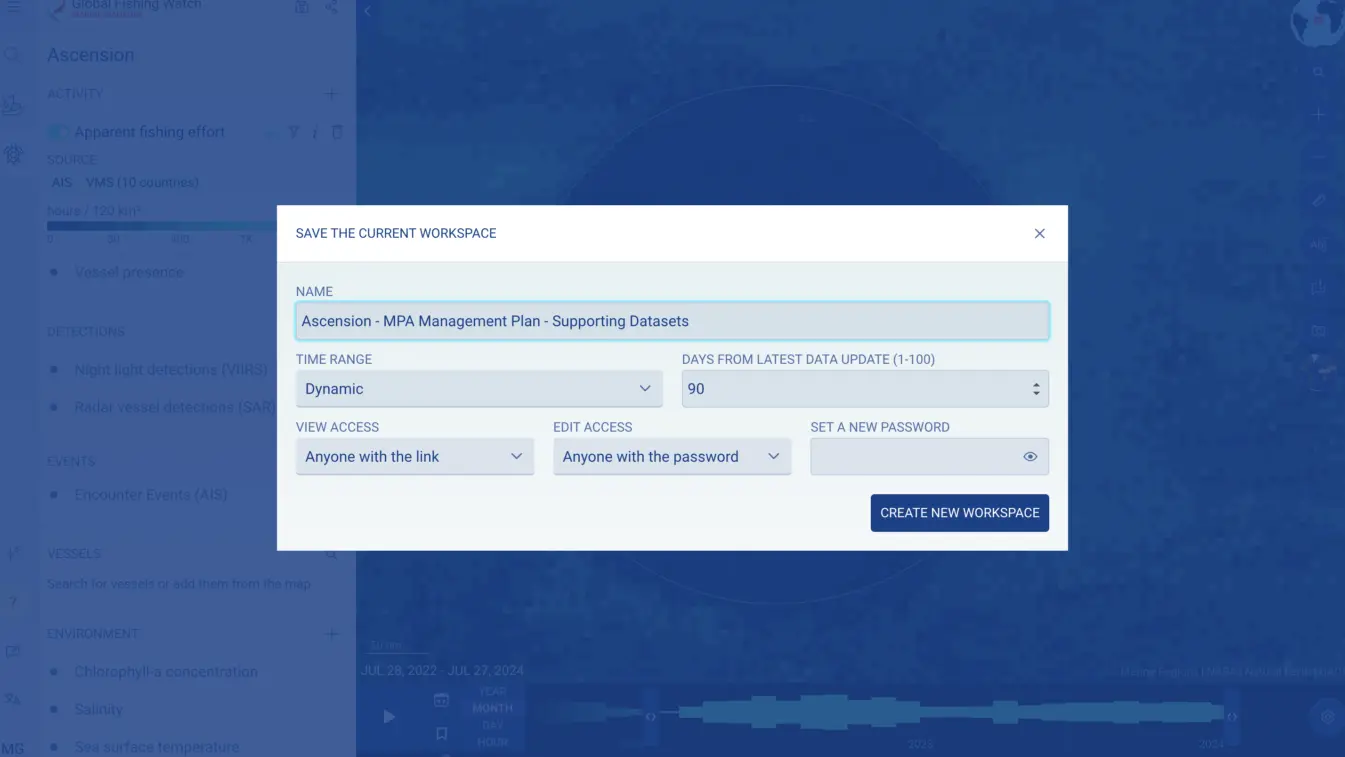
Updates to the marine manager portal include shared workspaces, new analysis features and more.
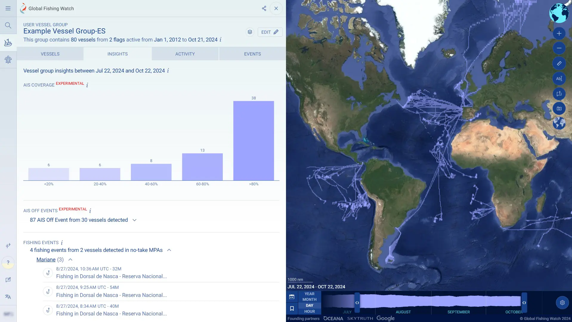
New vessel group reports and port visit data are available in Vessel Viewer.
As the countdown continues to September’s historic first round of United Nations treaty talks on the conservation and sustainable use of marine biodiversity in the high seas, science and technology are shedding increasingly compelling light on what is currently happening in this previously poorly understood realm. The latest in a series of reports focused on […]