Search results for: Fishing Map

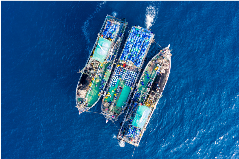
aerial vessel

New Study Claims Information Sharing is Key to Transparency in International Fisheries

Pacific case study suggests greater transparency will improve legitimacy and sustainability of tuna fisheries  Transshipment, the transfer of catch from fishing vessels to refrigerated cargo vessels (often called ‘reefers’ or ‘carriers’)  is an important part of many seafood supply chains. But when transshipment occurs at sea, loopholes in governance and gaps in monitoring can obscure […]

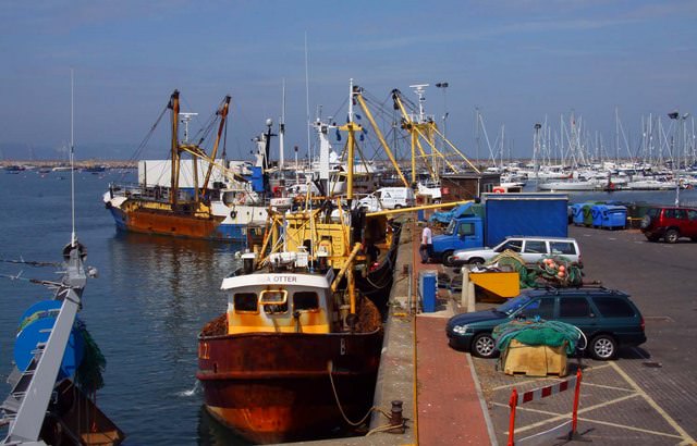
Fishing trawlers at Brixham

What Ports Can Tell Us

Ports provide an important source of information to help us combat Illegal fishing and understand the science and economics of global fisheries. “They serve as the interface between land and sea for fishing vessels,” says Wessley Merten, our data and fisheries analyst at Oceana. “Wherever there’s a port, there’s an interaction. Whether it be offloading catch, […]

New Release Beta 2.0 – You Asked, We Delivered

Today, we are releasing a brand new version of the Global Fishing Watch interactive map that is easier to use and adds nearly 25,000 new vessels. It also increases your ability to customize the map view and share your work. Beta Release 2.0. comes in response to some great feedback we’ve been getting from our registered […]

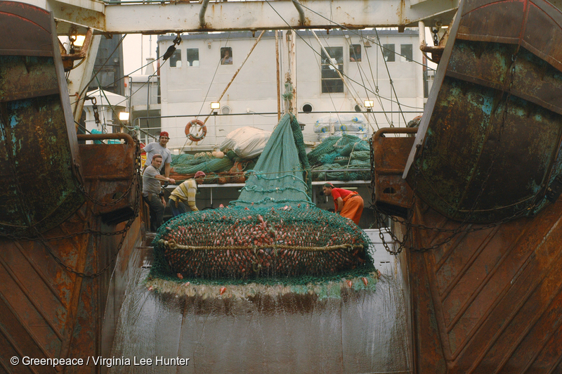
The Overlooked Impact of Bottom Trawling

A new study published by the scientific journal Nature is the first to quantify the potential release of carbon dioxide (CO2) into the ocean from trawling and finds that trawling is pumping hundreds of millions of tons of CO2 into the ocean every year. Juan Mayorga, marine scientist and study coauthor, talks about the groundbreaking […]

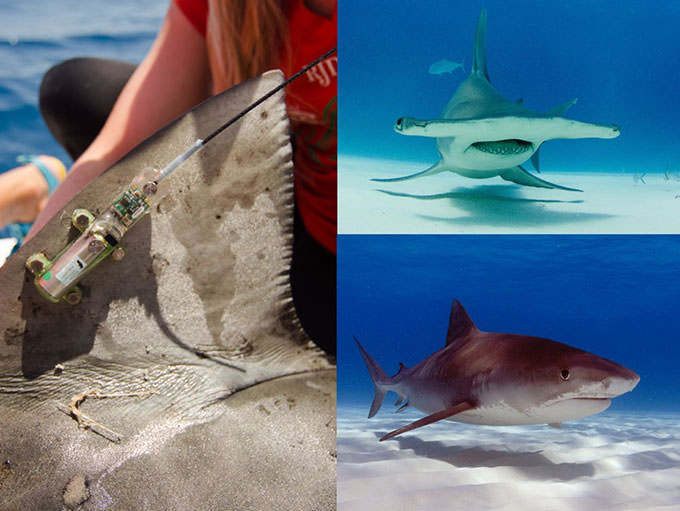
Satellite tags were affixed to the dorsal fins

Remote Tracking to Improve Shark Conservation

Usually when you want to protect something, you have to know where it is. That sounds like common sense, but when it comes to protecting highly migratory species in the oceans, scientists, conservationists and resource managers are often flying blind. Marine animals such as sharks, turtles, whales and large mid-ocean fish like tuna often traverse […]

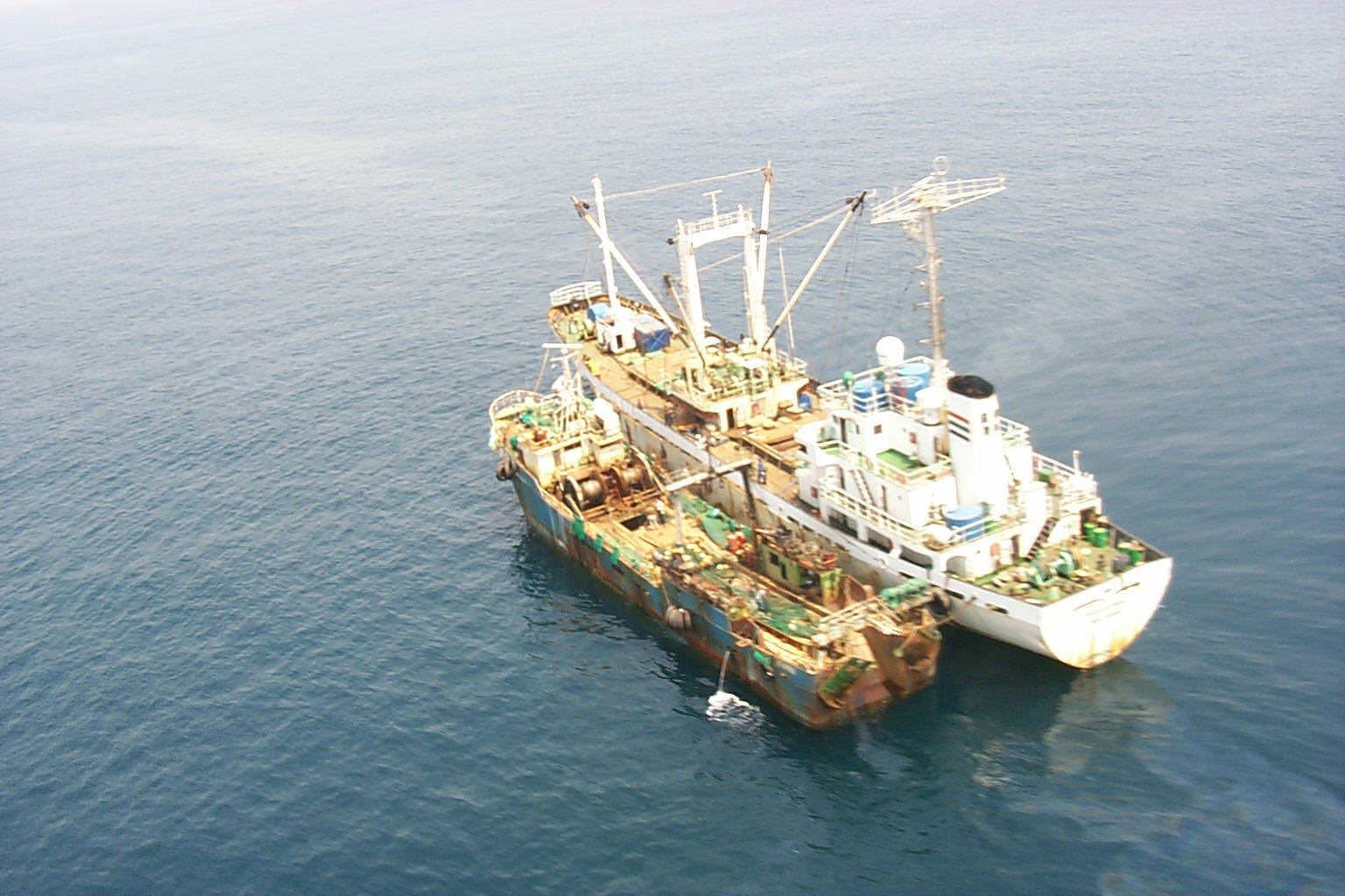
Vessel Rendevous Coast of Sierra Leone

Identifying Transshipment From the Data

When two ships meet to transfer goods, it is called transshipment. In the fisheries industry, it is sometimes legal in ports, but usually illegal out at sea where the practice can’t be monitored. [You can read more about it here]. Transshipment can facilitate the mixing of illegal or unreported catch with legal catch, making it […]

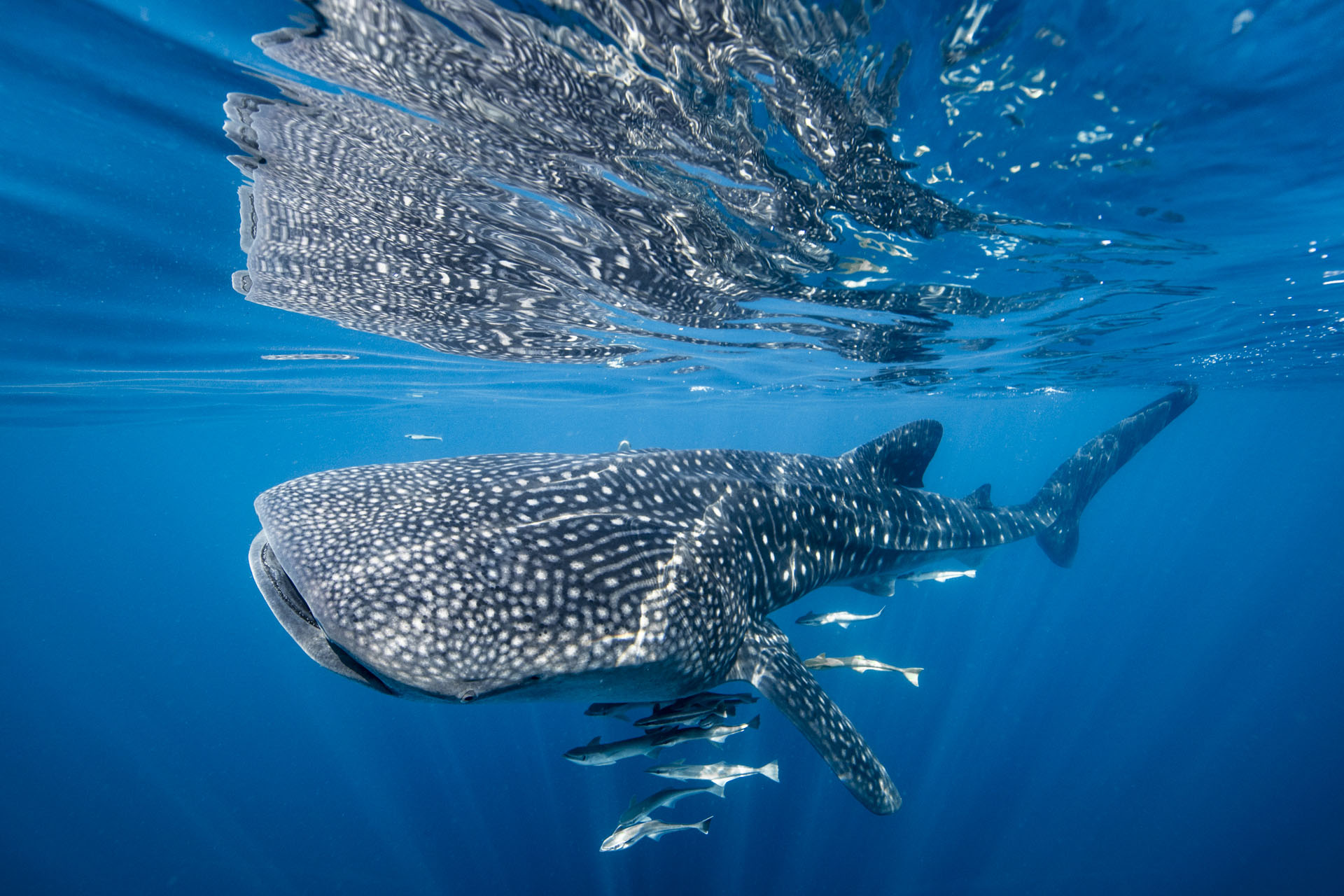
whale shark swimming in the ocean with fish next to it

Satellite Technology Can Reveal Collision Risks for Whale Sharks

Global Fishing Watch data helps researchers link shipping traffic to whale shark fatalities The whale shark is the world’s largest fish, with adults weighing up to 5,000 pounds and reaching up to 20 meters in length. Earning the reputation of “gentle giant,” these massive creatures roam the tropical waters of the ocean, traveling long distances […]

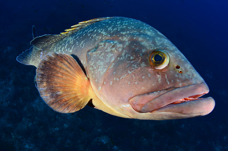
fish picture

MPA Survey Hints at Complexity of Marine Conservation

The no-take marine reserve Motu Maha surrounds the Aukland Islands. Marine protected areas (MPAs) are among the best tools we have for conserving biodiversity in the oceans, protecting vulnerable marine life, and providing places of refuge for fish stocks. But do they work? Can vast areas of ocean really be regulated? And if so, what […]

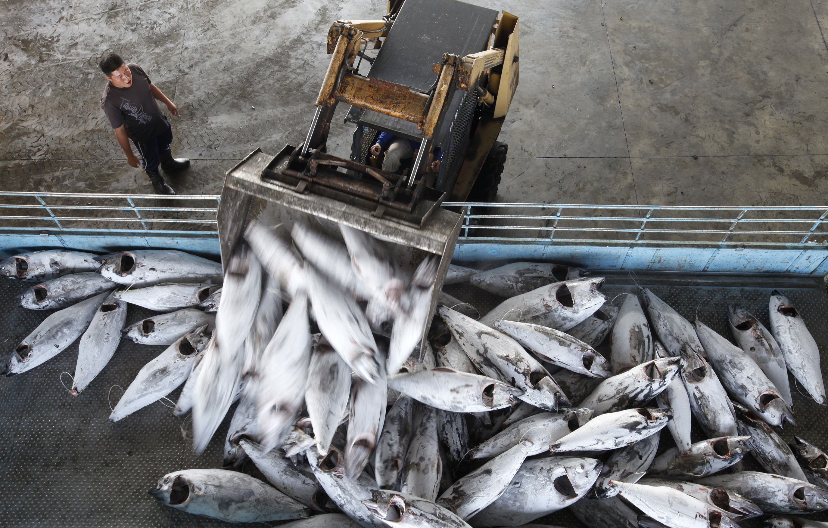
Frozen bigeye tuna are loaded onto a truck at Dong Gang Wholesale fish market

Partnering to Improve Seafood Traceability

Imagine a vessel captain pulling into port with a cargo hold full of fish. The captain reports the vessel’s identity to the authorities, and his or her entire fishing voyage can be instantly viewed on a screen. The location in which the fish was caught can be verified right there at the dock. The fish […]

Scroll to Top

Help us improve the site

Take a quick website survey to help us build a better experience for visitors like you.