Search results for: Fishing Map

Technology Portal Brings Revolutionary Approach to Marine Management

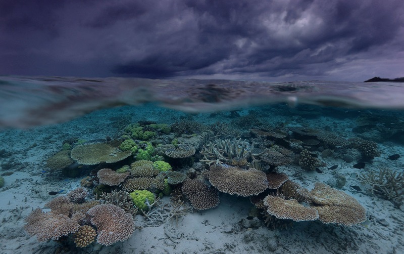
Interactive, dynamic ocean data can help bolster effective conservation efforts Covering more than 70 percent of our planet’s surface, the ocean is vital to all life on earth. It regulates global systems that make the world inhabitable for humankind—the air we breathe, the food we eat, even the patterns in weather we experience. Yet the […]

Satellite ss international space station

Technology collaboration aims to strengthen fisheries monitoring and control

New agreement will combine data and analysis from Global Fishing Watch and Vulcan Inc. to bolster fisheries transparency and enforcement Washington D.C. – Global Fishing Watch (GFW), an international nonprofit organization, has entered into a formal collaboration with Vulcan Inc., combining their vessel monitoring capabilities to enhance fisheries management and governmental efforts to combat illegal, unreported […]

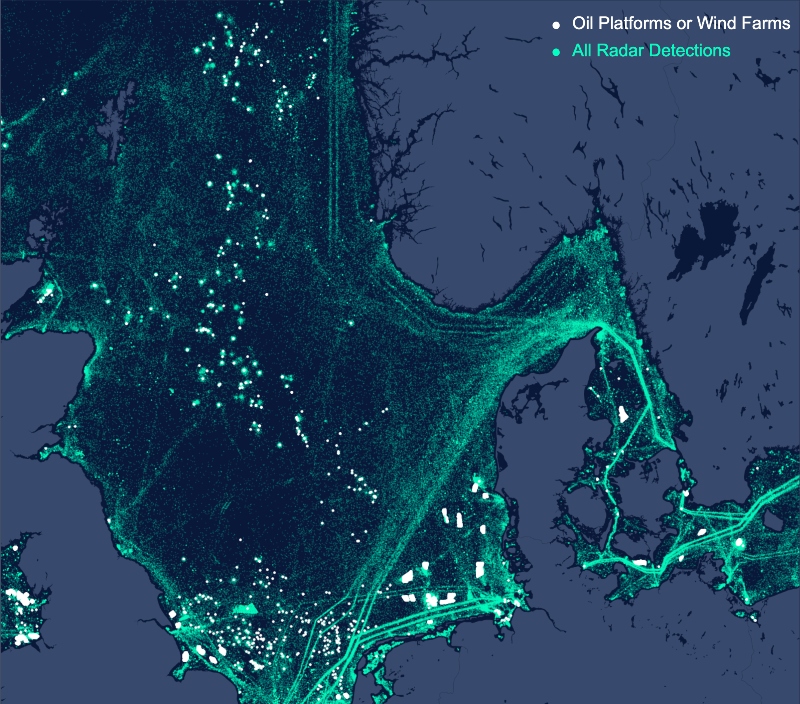
Oil platforms or wind farms Radar Detections

Towards a Radar-Illuminated Ocean

At Global Fishing Watch, we use cutting-edge technology to visualize, track and share data about global fishing activity in near real-time and for free. Our primary dataset comes from data about a vessel’s identity, type, location, speed, direction and more that is broadcast using the Automatic Identification System (AIS) and collected via satellites and terrestrial […]

Doug McCauley

Interview with Marine Ecologist Dr. Doug McCauley

Last year, Dr. Doug McCauley told the New York Times that humanity may be on the verge of creating a mass extinction in the seas unless we can rapidly change our course. McCauley and his colleagues had just published a paper in Science magazine on the health of the oceans that drew a lot of […]

Bright Lights Reveal the “Dark” Fleet: Media Kit

CAPTION: Arufura Sea, January, 2018. Vessel Monitoring System (VMS) data from Indonesia is shown in the Global Fishing Watch map as yellowish dots. This image is overlayed with data from NOAA’s satellite-based Visible Infrared Imaging Radiometer Suite (VIIRS) which detects many vessels not broadcasting VMS. VIIRS-detected vessels are shown here as blue sailboats. CREDIT: Global […]

read more icon

Deciphering Suspicious Behavior: Not Always What It Seems

The first step in catching illegal and unreported fishing activity can feel a little like casting a net over a wide swath of the ocean. There’s going to be a lot of bycatch, because much of what fits in your net isn’t really what you’re after. It takes some background knowledge and often a little […]

ocean

Investigation into seized toothfish vessel highlights need for transparency

I’ve followed with interest the recent interception by the Indonesian navy of the F/V STS-50, a stateless toothfish fishing vessel carrying 600 illegal gillnets. The F/V STS-50 is a known Patagonian and Antarctic toothfish poacher that has operated under a number of different names and flags. It was blacklisted by Commission for the Conservation of Antarctic […]

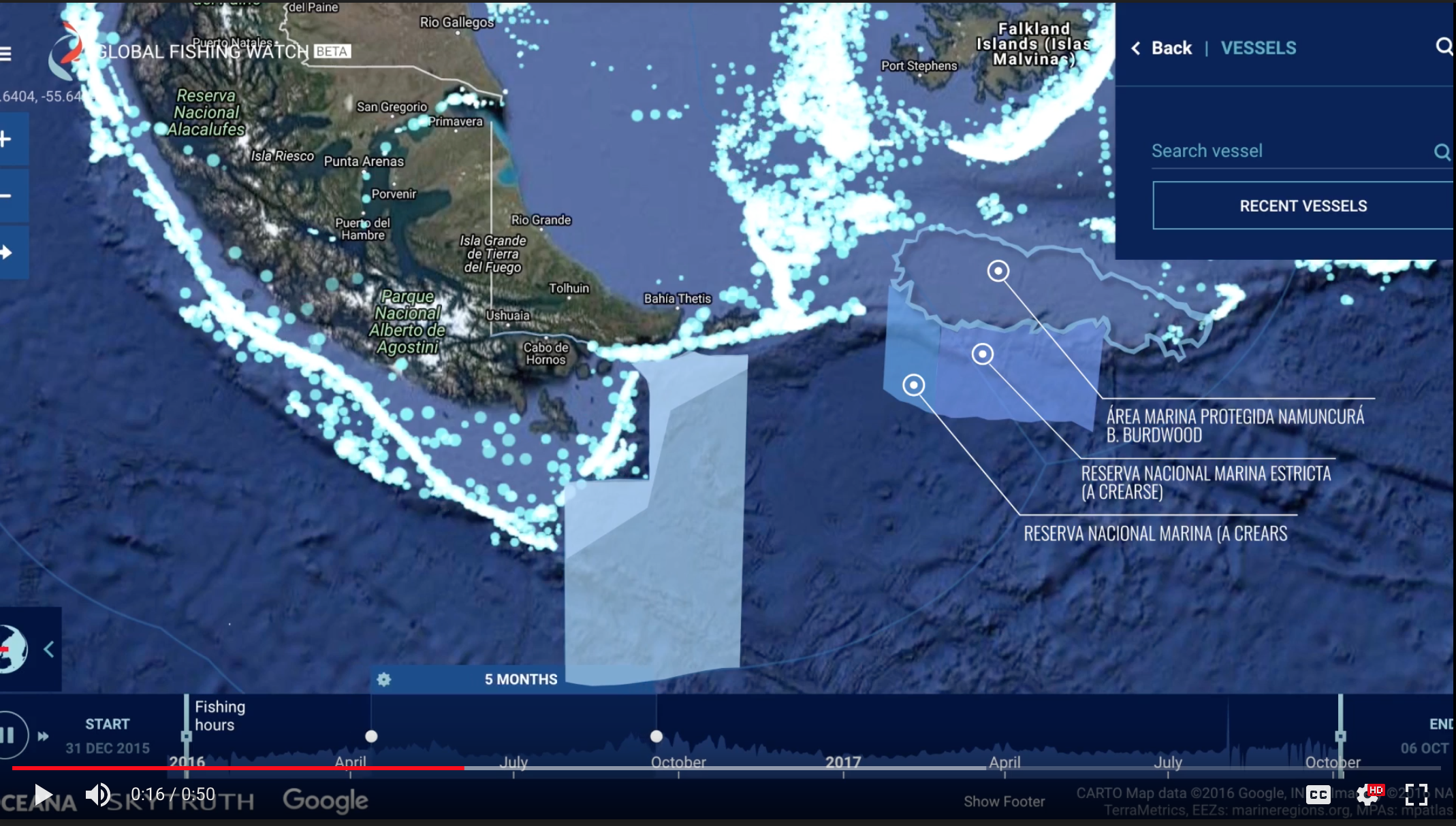
Argentine Map Areas marinas

Making the Case for Argentine MPAs

Commercial fishing is an important revenue source for Argentina, and the industry’s interests are strong, but the government is committed to protecting at least 10 percent of its territorial waters by 2020. Although reconciling the need for Marine Protected Areas with the economic interests of the fishing industry can be challenging, Global Fishing Watch has […]

Flag of Convenience or Cloak of Malfeasance?

In the U.S., you can’t slap a license plate on your car from a state you don’t live in. Not so for ships on the ocean. Of course, ships don’t have license plates; they have flags, but it’s not uncommon for a fishing vessel to fly a flag from a country that has no actual […]

Scroll to Top

Help us improve the site

Take a quick website survey to help us build a better experience for visitors like you.