Search results for: Fishing Map

Our Dataset — Now Available

Today is an exciting day for the Global Fishing Watch Research program. Working with six partner institutions, we have published the first ever global analysis of fishing effort using Automated Identification System (AIS) data. Our paper, “Tracking the global footprint of fisheries,” is in the February 23rd edition of Science. Along with the publication of this […]

What Can We See When AIS Signals Disappear?

We are often asked about how Global Fishing Watch can be effective when vessel captains can simply turn off their AIS. And our answer has always been, “they have to turn it back on sometime—especially when entering port, and intentional blackouts raise a red flag.” Our recent analysis of fleet activity around the Argentine EEZ […]

From SHip SPotter

Witness to a Crime?

Unusual fleet behavior off West Africa spurs our analyst to investigate Just because something appears suspicious, doesn’t mean laws are being broken. Jumping too quickly to conclusions could embroil a legally operating fishing fleet in unwarranted investigations or accusations. Equally damaging would be to rush in on a crime without solid evidence and lose the […]

Chile & Peru VMS

Chile Shows Global Leadership On Fisheries Transparency

Once again, Chile shows it is serious about ocean protection. Putting its fishing vessel tracking data on Global Fishing Watch’s public platform will help to build more transparent and sustainable fisheries The May 2019 United Nations report warning of unprecedented rates of extinction of marine life is a wake-up call for the planet. The biggest […]

Cocos Island

Protecting Cocos Island

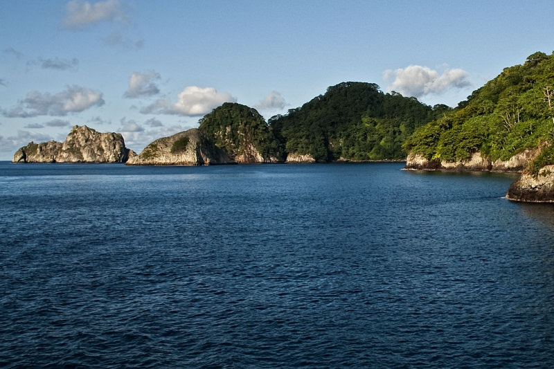
The Cocos Island National Park (CINP) is located in the Eastern Tropical Pacific, 532 km southwest of Costa Rica. Consisting of  a 24 square km island and a 1,989 square km marine area, including a 12 nautical mile no-take zone surrounding the island, it was declared a World Heritage site by UNESCO in 1997 and […]

Vessel tracking

AIS and the Challenges of Tracking Vessels at Sea

At Global Fishing Watch, we hear it all the time: “Tracking commercial fishing vessels from satellites is such a great idea, and it seems so easy!” In fact, we’ve received a few questions from our readers asking us why this isn’t just a simple hack of publicly available data.

A New View of Marine Protected Areas

In 2016, 33 countries agreed to establish a global network of scientifically supported Marine Protected Areas (MPAs) that will increase the amount of ocean area protected from the current 2 percent to 10 percent by the year 2020. MPAs either restrict human activity such as fishing, or they prohibit it all together. But the question […]

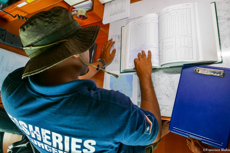
Officer crosschecks suspicious vessel behaviors identified in VMS data in the Marshall Islands

New Partnership Brings Added Opportunities to Fisheries Monitoring

Global Fishing Watch becomes observer to International Monitoring, Control and Surveillance Network  It has been a busy summer for us at Global Fishing Watch. While travel may have been suspended and the majority of fisheries and ocean-related meetings were either canceled or postponed – some held virtually – the work has not slowed down. And […]

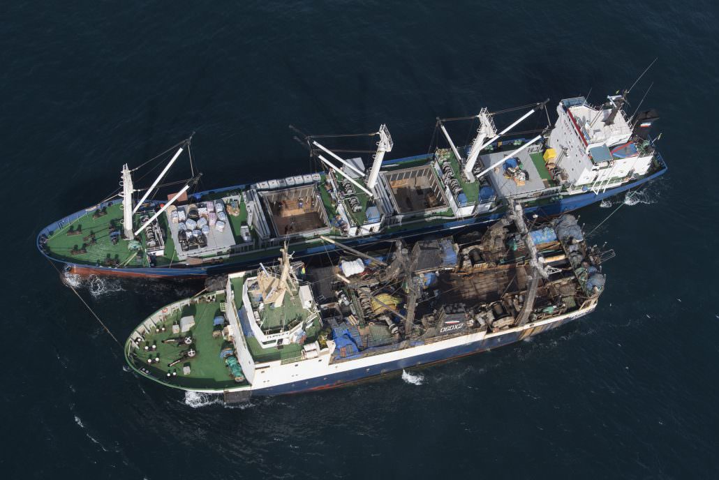
Illegal transhipment of fish between Saly Reefer and Flipper 4 fishing vessel. Greenpeace is on tour in West African waters to address the problem of overfishing in the region. (photo courtesy of Greenpeace)

Machine learning and satellite data provide the first global view of transshipment activity

This week marks the publication of the first-ever global assessment of transshipment in a scientific journal. Researchers at Global Fishing Watch and SkyTruth, in the journal Frontiers of Marine Science, published “Identifying Global Patterns of Transshipment Behavior.” What is transshipment? Why does it matter? What have we learned and what remains unknown? Read on to […]

Scroll to Top

Help us improve the site

Take a quick website survey to help us build a better experience for visitors like you.