Search results for: What is AIS

Marine Manager Helps Protect Unique Ecosystem in South Atlantic Ocean

How a technology portal synthesizes data to inform management of Ascension Island’s vast marine protected area On an otherwise jubilant day in 2019, Diane Baum had a concerning realization: The marine protected area (MPA) that she and her team had worked so hard to establish around Ascension Island, in the Atlantic Ocean between Angola and […]

Hirshfield Brightened

Interview with Michael Hirshfield: Chief Scientist and Strategy Officer, Oceana

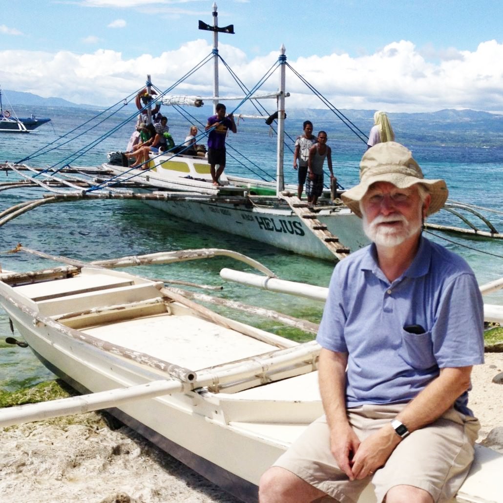
Dr. Michael Hirshfield oversees Oceana’s new offices in the Philippines, Canada and Brazil, and ensures that Oceana’s policy advocacy is solidly based on the latest scientific information. Throughout his long career, Dr. Hirshfield has worked on issues related to fisheries and aquatic ecosystems from a variety of viewpoints.

Capacitación al personal del Ministerio de la Producción de Perú

Global Fishing Watch provides training to Peru’s vessel surveillance group

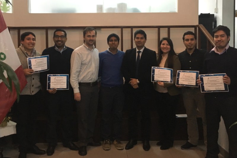
We were very pleased to complete a three day training session this month in Lima with the Peruvian Ministry of Production’s vessel surveillance division. It was an opportunity for us to share the latest developments on the Global Fishing Watch mapping platform and to get expert feedback from professionals in Peru’s fisheries sector. Since Peru’s public […]

Tim Hochberg

Tim Hochberg Senior Machine Learning Engineer Phoenix, AZ Tim Hochberg leads the optical imagery vessel detection project, where Global Fishing Watch is inferring vessel presence in optical satellite imagery. Detecting vessels in satellite imagery enhances our knowledge of where boats are located globally, particularly in areas where automatic identification system (AIS) usage is low or […]

Darwin Islands, Galapagos

Tracking the Global Footprint of Fisheries

In the 23 February 2018 issue of Science, along with research partners at University of California Santa Barbara, National Geographic Pristine Seas, SkyTruth, Dalhousie University, Stanford University, and Google, we published a global analysis of fishing effort using AIS data. We have made our data on the vessel identity and fishing effort freely available. This post provide links to […]

Our Map

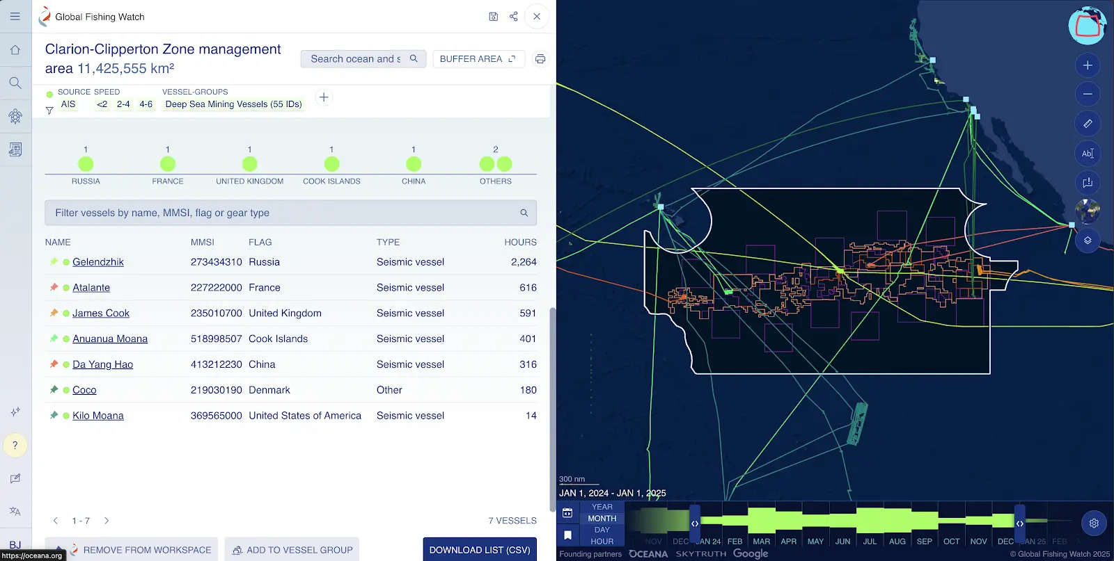
Global Fishing Watch Map EXPLORE OUR MAP The Global Fishing Watch map is the first open-access online platform for visualization and analysis of vessel-based human activity at sea. Powered by satellite technology and machine learning, the map merges multiple types of vessel tracking data to provide a view of global human activity at sea, including […]

Scroll to Top

Help us improve the site

Take a quick website survey to help us build a better experience for visitors like you.