Search results for: Fishing Map

Multi Media: First Public View of Indonesian Fishing Fleet from Government VMS data

For more information, contact: Kimbra Cutlip / [email protected] /+1  443.871.1632 See the public Indonesia workspace map revealing Indonesian VMS data alongside AIS data. https://globalfishingwatch.org/indonesia-vms ALL MEDIA INCLUDED HERE IS ALSO AVAILABLE ON THIS GOOGLE DRIVE Youtube Video available here: https://youtu.be/U0vgrj9GhoU  FOR IMAGES BELOW Credit: Global Fishing Watch, Inc., 2017 Captions: Global Fishing Watch uses publicly broadcast AIS signals to track fishing vessels. […]

Belize to publish vessel tracking data through Global Fishing Watch

Oceana and Global Fishing Watch applaud Belize’s leadership on fisheries transparency Belize City, Belize.  – The Belize High Seas Fisheries Unit (BHSFU) has signed a memorandum of understanding (MOU) to make its vessel tracking data publicly available through the Global Fishing Watch map, which tracks the movements of commercial fishing vessels in near real-time. The […]

Commercial Fishing

Commercial Fishing Commercial fishing is the most widespread human activity at sea. Defined as the for-profit practice of catching fish or other marine life by commercial fishing boats, its impact goes far beyond ocean health and the management of fish populations. Commercial fishing is essential in supporting the global livelihoods of nearly 60 million people […]

Close encounters between albatross and fishing vessels in the North Pacific

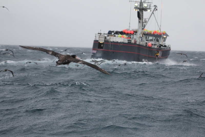
Rachael Orben is an Assistant Professor at Oregon State University’s Hatfield Marine Science Center. In September of 2016, Leigh Torres, associate professor at Oregon State University, and I attended the 6th International Albatross and Petrel Conference. Somehow, amid all of the science that filled the week, Leigh first saw the Global Fishing Watch fishing map. She […]

GIF Peru

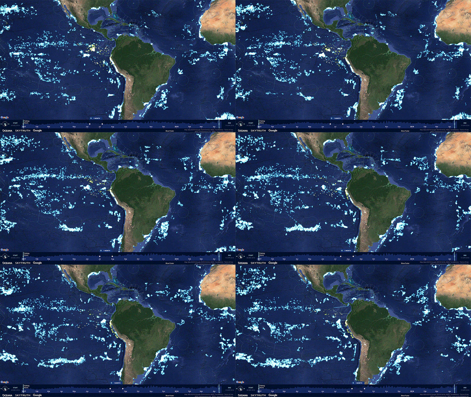
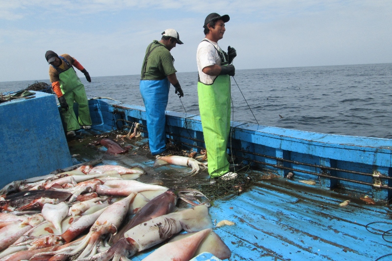
Peru’s Vessel Tracking Data Now Publicly Available Through Global Fishing Watch

Global Fishing Watch and Oceana applaud Peru’s leadership on fisheries transparency Washington, D.C. Friday October 26th – As world leaders prepare to gather in Bali, Indonesia for the fifth-annual Our Ocean conference, Peru has taken bold action to make its national vessel tracking data publicly available for the first time through Global Fishing Watch (GFW). […]

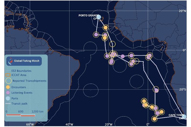
Potential encounters and loitering events of an authorized Liberian-flagged carrier vessel

Transshipment Monitoring Portal Brings Transparency to Fishing Industry

NGO collaboration will help fishery managers ensure transfer of catch is both legal and verifiable The transfer of fresh catch from fishing vessels to refrigerated cargo ships is an important but often opaque part of the industrial fishing sector. A new public global monitoring portal is a turning point in efforts to manage this activity.  […]

Petrossian Gohar

Global Fishing Watch and the Case of the IUU Hotspots

Dr. Gohar Petrossian of John Jay College of Criminal Justice studies crime at sea. She is using Global Fishing Watch data as part of her effort to understand Illegal, Unreported, and Unregulated (IUU) fishing.  When most people hear the term “criminology” they think Sherlock Holmes or CSI. Dr. Gohar Petrossian is a criminologist who studies something we at Global […]

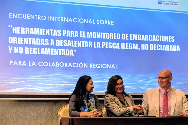
Encuentro internacional sobre herramientas para el monitoreo de embarcaciones orientadas a desalentar la pesca ilegal, no declarada y no reglamentada

Panama signs agreement to make its fishing fleet visible to the world

Nota de Prensa en español Panama City, 20 March 2019 – Panama today signed a formal agreement to make its national vessel tracking data publicly available through the Global Fishing Watch (GFW) map platform, demonstrating its commitment to greater transparency in fishing activities and to promoting sustainability. The Memorandum of Understanding (MoU) was signed between the […]

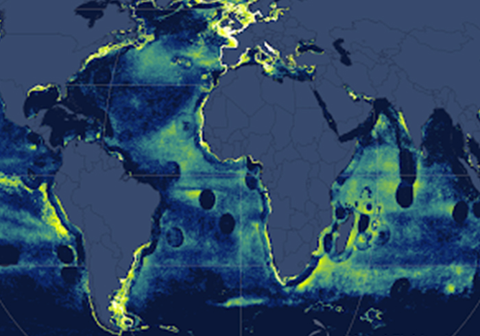
map of world showing fishing vessels by ais

Project – Detection of Fishing Impacts

Projects Detection of Fishing Impacts Better models to evaluate ocean harvest Areas of heaviest activity by fishing vessels broadcasting their position on the automatic identification system are seen in yellow Algorithms can help determine when and where vessels are fishing. When we apply them to vessel movement data, we can more accurately assess fishing activity […]

Scroll to Top

Help us improve the site

Take a quick website survey to help us build a better experience for visitors like you.