Search results for: Fishing Map

Global Fishing Watch data used for breakthrough study on whale-ship collisions

Research demonstrates need for increased oversight of waterways A new study led by the University of Washington using Global Fishing Watch data has found that fewer than 7 percent of global hotspots for whale and ship collisions have protection measures in place, underlining the urgent need for greater oversight of waterways that overlap with whale […]

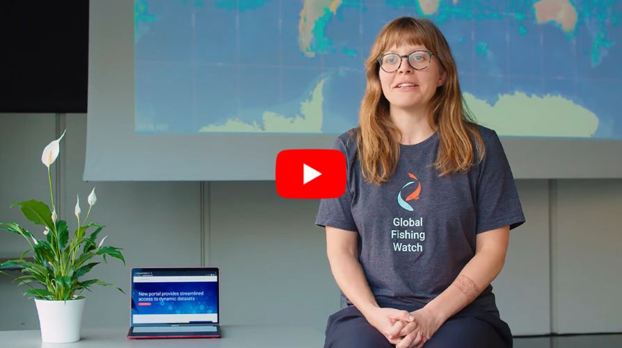
Global Fishing Watch at Work: Leah Buckley

Leah Buckley, product manager at Global Fishing Watch, shares insights into her role in developing innovative tools that help break down barriers for ocean conservation efforts. Learn how her work is shaping technology to support greater transparency and sustainability in our oceans.

How do I search for fishing activity within a certain time range?

The time bar at the bottom of the Global Fishing Watch map determines the time range you are viewing. To change the time range: Move the start and end bars within the timebar Click on the calendar icon in the bottom left corner, to select a time range or select from a set of pre-defined […]

Illegal, Unreported and Unregulated Fishing Risk Insights

Illegal, Unreported and Unregulated Fishing Risk Insights Global Fishing Watch identified 11 illegal, unreported and unregulated (IUU) fishing risk insights  based on a comprehensive literature review of IUU fishing reporting. In the review, a total of 83 citations referenced vessel tracking data in the context of IUU fishing detection. Of those citations, 40 were reports […]

Datasets and Code: Apparent Fishing Effort

Datasets and Code: Apparent Fishing Effort Global Fishing Watch’s flagship dataset is apparent fishing effort based on transmissions broadcast using the automatic identification system (AIS). In 2018, we published the first global assessment of commercial fishing activity in the journal Science. Our research found that fishing is both widespread—occurring throughout approximately 50 percent of the […]

New Techniques Reveal Fishing Vessel Identities in the Dark of Night

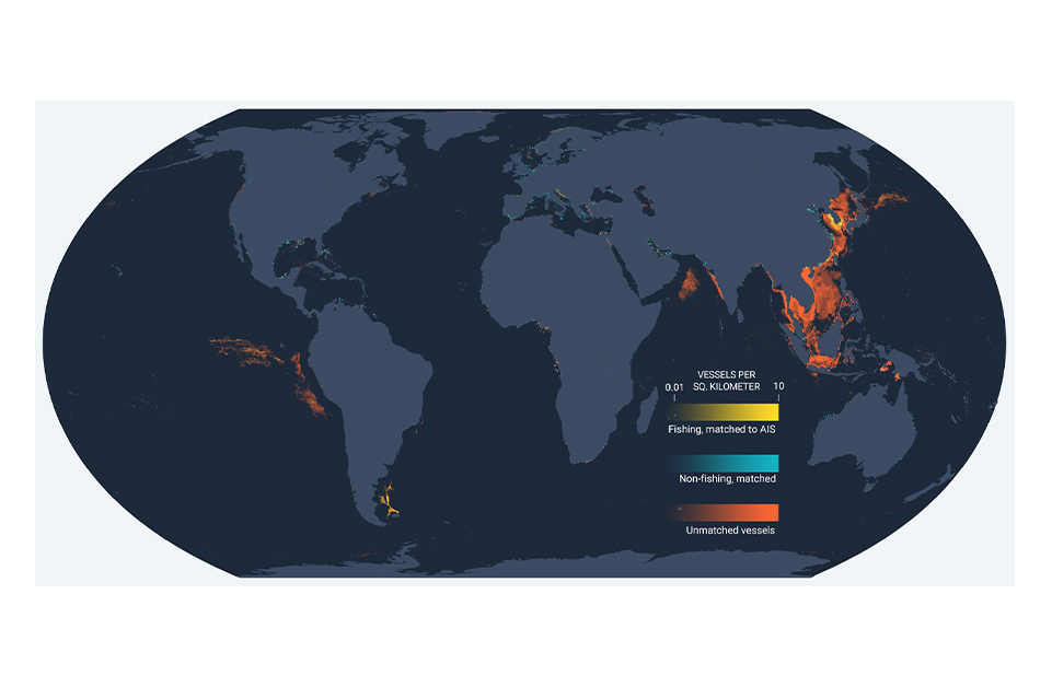
New Global Fishing Watch technology merges nighttime images with GPS datasets to observe vessels not broadcasting their positions When the sun sets, human activity on the ocean goes on. And every night, satellites snap a picture of all the activity taking place down below, including vessels at sea. Vessels often are equipped with bright lights […]

Scroll to Top

Help us improve the site

Take a quick website survey to help us build a better experience for visitors like you.