Search results for: What is AIS

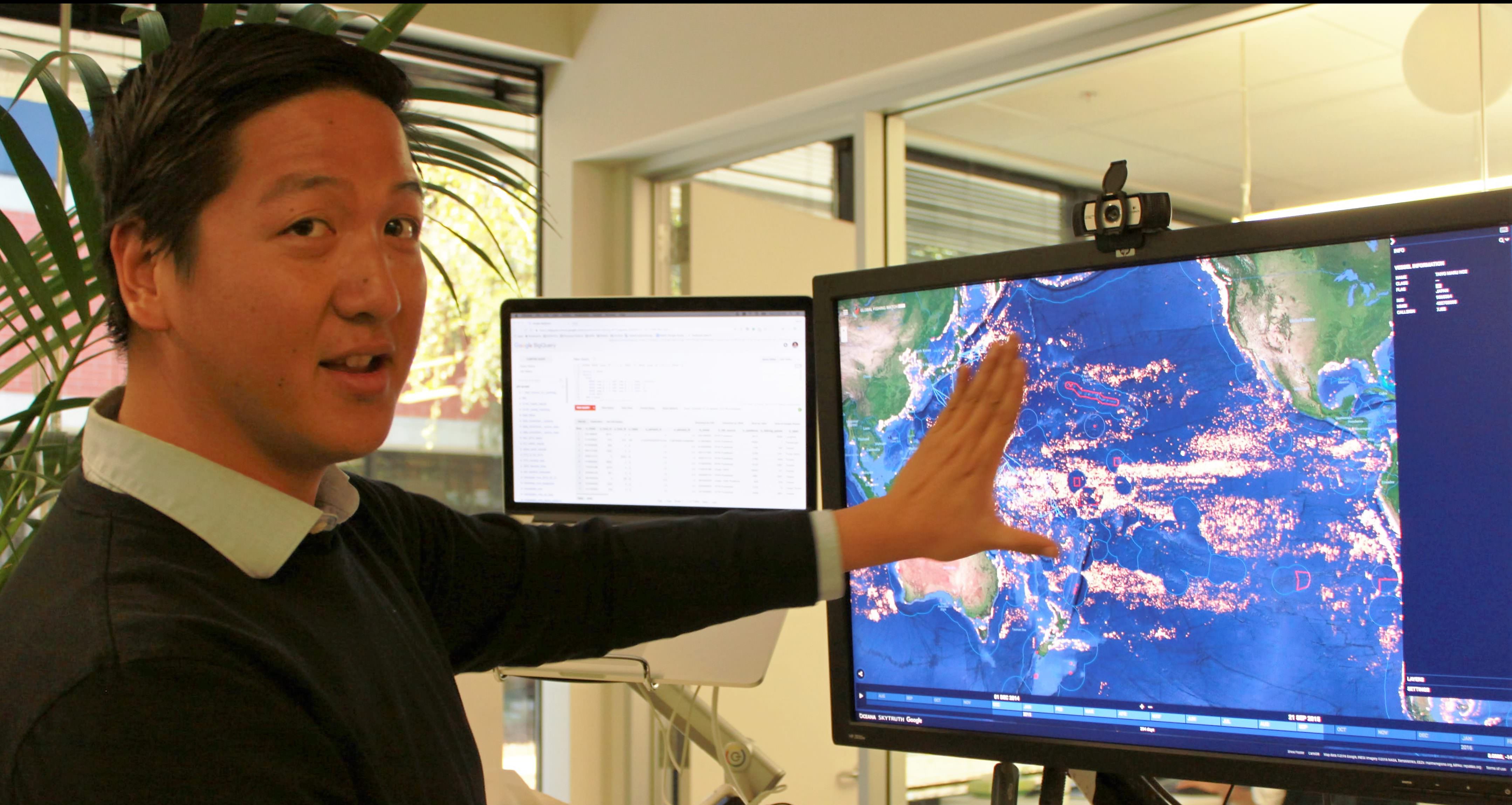
Aaron Roan demonstrates features of the Global Fishing Watch map

Exploring a New World of Data with Team Member Aaron Roan

If you’ve grown accustomed to the idea that everything in our world is traceable—from airplanes to cell phones to personal browsing history and purchasing habits—it may seem like a no-brainer that we can use publicly broadcast Automatic Identification System (AIS) signals from ships at sea to find out where they are and what they’re doing. But in […]

saltelite

Detecting Dark Fishing Activity in the North Natuna Sea

On March 1st 2020, Indonesian authorities seized five Vietnamese vessels fishing illegally in the North Natuna Sea, located south west of Indonesia’s Natuna Islands, which borders the South China Sea. The successful operation was conducted by patrol vessels from the Indonesian Directorate General (DG) of Surveillance (PSDKP) of The Ministry of Marine Affairs and Fisheries […]

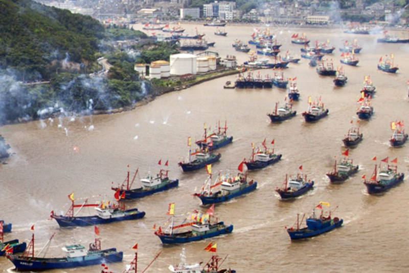
Fishermen set out for sea after summer fishing suspension ends, Ningbo, Zhejiang Province, China - 16 Sep 2014.

A who’s who for the oceans: building a global database of fishing vessels

Our groundbreaking online map tracks the movements of commercial fishing vessels all over the world. As part of our ambition to reveal and analyse the fishing activity responsible for the majority of the world’s marine catch, we’re constantly working to improve the quality of the data behind the dots. Here, Data Scientist Jaeyoon Park takes […]

Fu Yuan Yu 359 corrected google satellite background

When Vessels Report False Locations

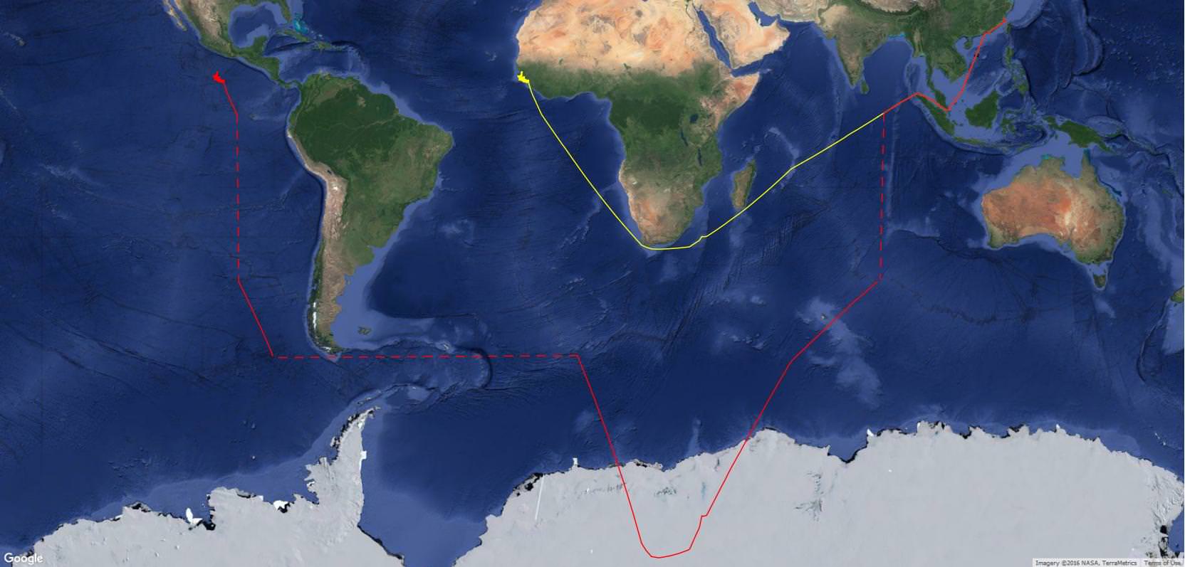
Occasionally, the AIS messages transmitted from a ship provide a location that makes no sense, say, in the middle of the Antarctic or over a mountain range. In such cases, either the AIS transponder has malfunctioned, the data got scrambled in transmission, or the system has been tampered with in a deliberate attempt to disguise […]

Fishing Vessels in Port

Spoofing: One Identity Shared by Multiple Vessels

The satellite-based Automatic Identification System (AIS) that we use for tracking vessels is a radio transmission system in which a ship sends a coded message that can be picked up by satellite and land-based receivers. The code includes

Publications

Publications 2024 Satellite mapping reveals extensive industrial activity at sea Fernando Paolo, David Kroodsma, Jennifer Raynor, Tim Hochberg, Pete Davis, Jesse Cleary, Luca Marsaglia, Sara Orofino, Christian Thomas and Patrick Halpin (2024).Read the paper – Press release 2023 Global prevalence of setting longlines at dawn highlights bycatch risk for threatened albatross David Kroodsma (GFW), Joanna […]

Minister Pudjiastuti of Indonesia

Indonesia Makes its Fishing Fleet Visible to the World

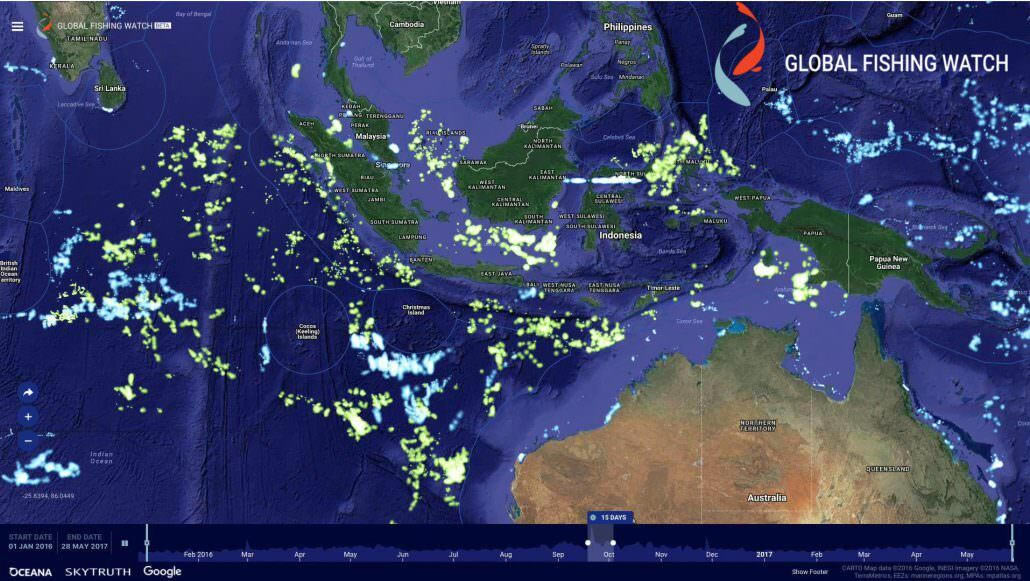
This week, at the United Nation’s Ocean Conference, the Republic of Indonesia becomes the first nation ever to publish Vessel Monitoring System (VMS) data revealing the location and activity of its commercial fishing fleet. The new data being made public on the Global Fishing Watch public mapping platform reveals commercial fishing in Indonesian waters and […]

Indonesia VMS Joint Statement

JOINT STATEMENT FROM THE REPUBLIC OF INDONESIA AND GLOBAL FISHING WATCH, INC. JUNE, 2017 The Republic of Indonesia and Global Fishing Watch, Inc.* have entered into a partnership to deliver Vessel Monitoring System (VMS) data for all Indonesian flagged fishing vessels in a publicly-available data platform. We believe the public sharing of VMS data should […]

Scroll to Top

Help us improve the site

Take a quick website survey to help us build a better experience for visitors like you.