Scientific collaboration to support a sustainable ocean
Advances in machine learning and satellite technologies can transform human management of the ocean, but taking advantage of these technologies requires effective partnerships and an interdisciplinary team.
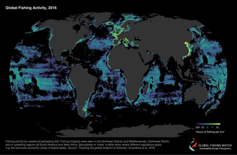
At Global Fishing Watch, we connect machine learning experts with leaders in the scientific community to produce new datasets, publish impactful research and empower others to use our data.
Our collaborations contribute to discoveries and solutions critical to marine conservation, global economics and human welfare. These partnerships help us better understand the role commercial fishing plays in the physical, biological, economic and political factors of the ocean and ensures that we are addressing the most urgent ocean challenges.
Results generated from these collaborations can be found on our publications page.
Resources
In this video, research partners Kristina Boerder of Dalhousie University and Quentin Hanich of the University of Wollongong, speak to the value of Global Fishing Watch data to support research into pressing questions in fisheries research.
R package to support data analysis
Global Fishing Watch enables the research community to access data from its application programming interfaces, or APIs, directly through R—a specialized programming language for data processing, statistical analysis and data visualizations. The package, called gfwr, allows R users to request data from Global Fishing Watch’s APIs and receive data in a tidy format suitable for incorporation into new or existing R workflows. Installing gfwr gives academics, researchers, students and journalists the ability to easily pull data for analysis without any prior API experience.
See how we empower others to use our data here.
Research Partners







Recent Work
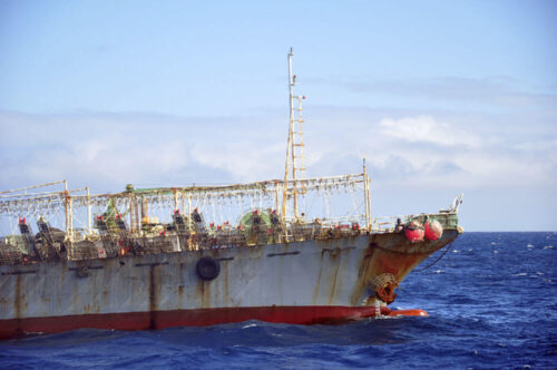
Data advances understanding of global squid fishing fleets
While illegal, unreported, and unregulated fishing has been recognized as a global problem that threatens ocean ecosystems, sustainable fisheries and economic security, unregulated activity has received less attention.
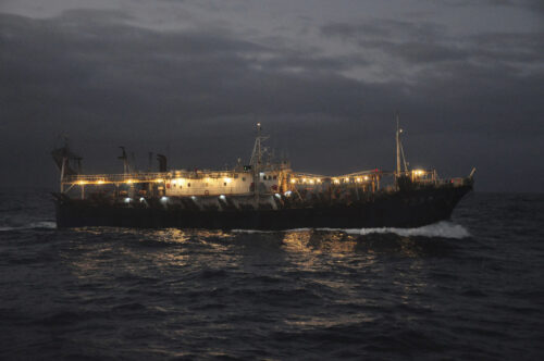
Rise in Unregulated Squid Fishing Poses Challenges—and An Opportunity
Highly mobile fisheries present more possibilities for data-driven approach to inform regulation.
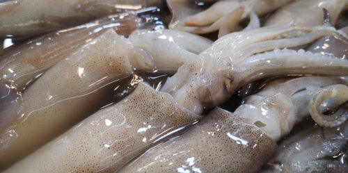
Where is your squid coming from? Most likely unregulated waters, according to a new international study
New research fuses multiple data sources to advance understanding of the expanding footprint of global squid fleets Scientists and policymakers have voiced growing concerns about the decline of global squid stocks, but little has been
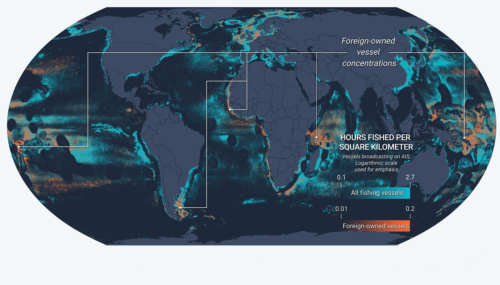
New Fusion of Global Datasets Advances Understanding of Vessel Identity and Activity
Novel research provides new tool to improve global fisheries oversight Illegal, unreported and unregulated (IUU) fishing accounts for up to $23.5 billion every year and is enabled by vessels frequently changing their name, flag State