Right Click the images below to download in high res.
Please credit Global Fishing Watch 2017
The animated Gif below shows Global Fishing Watch platform before the addition of data from Spire’s nano-satellites and after. Note: each lighted point on the map indicates a fishing vessel engaged in fishing. The new data points do not necessarily indicate more fishing vessels, but rather, more complete tracks of the vessels in our database.
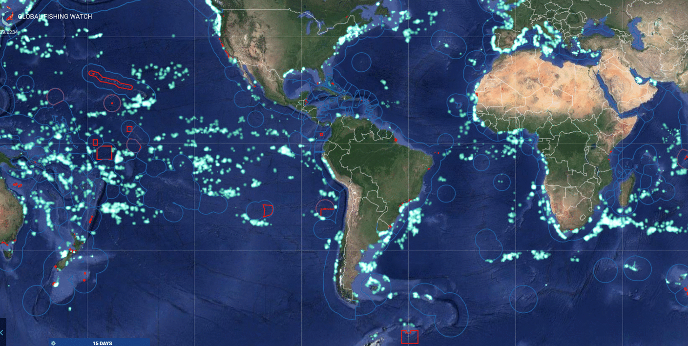
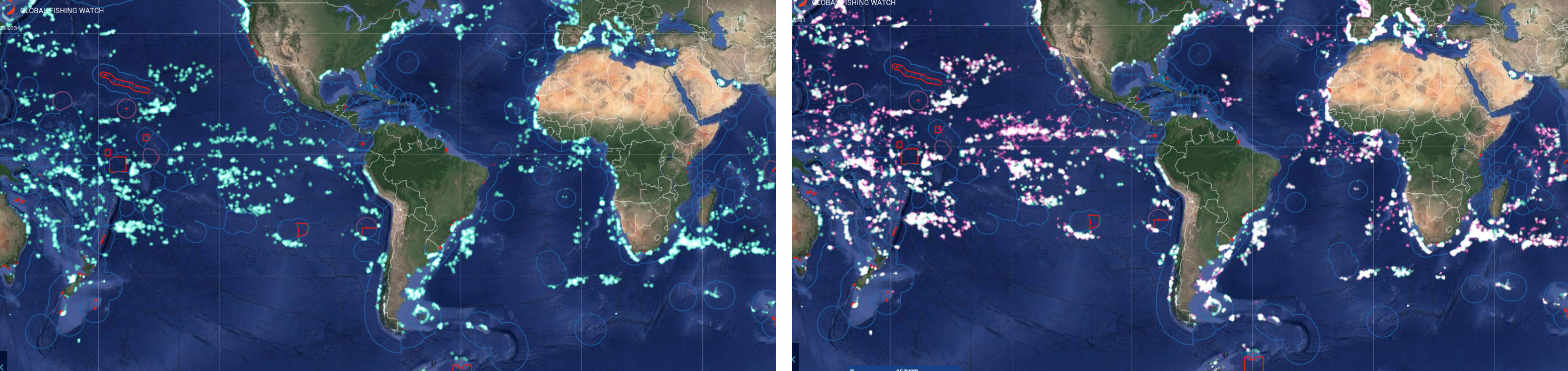
The panel below shows Global Fishing Watch platform before the addition of data from Spire’s nano-satellites (panel on left with data points in green) and after the addition of Spire data (panel on right with new data points in pink). Note: each lighted point on the map indicates a fishing vessel engaged in fishing. The new data points do not necessarily indicate more fishing vessels, but rather, more complete tracks of the vessels in our database.
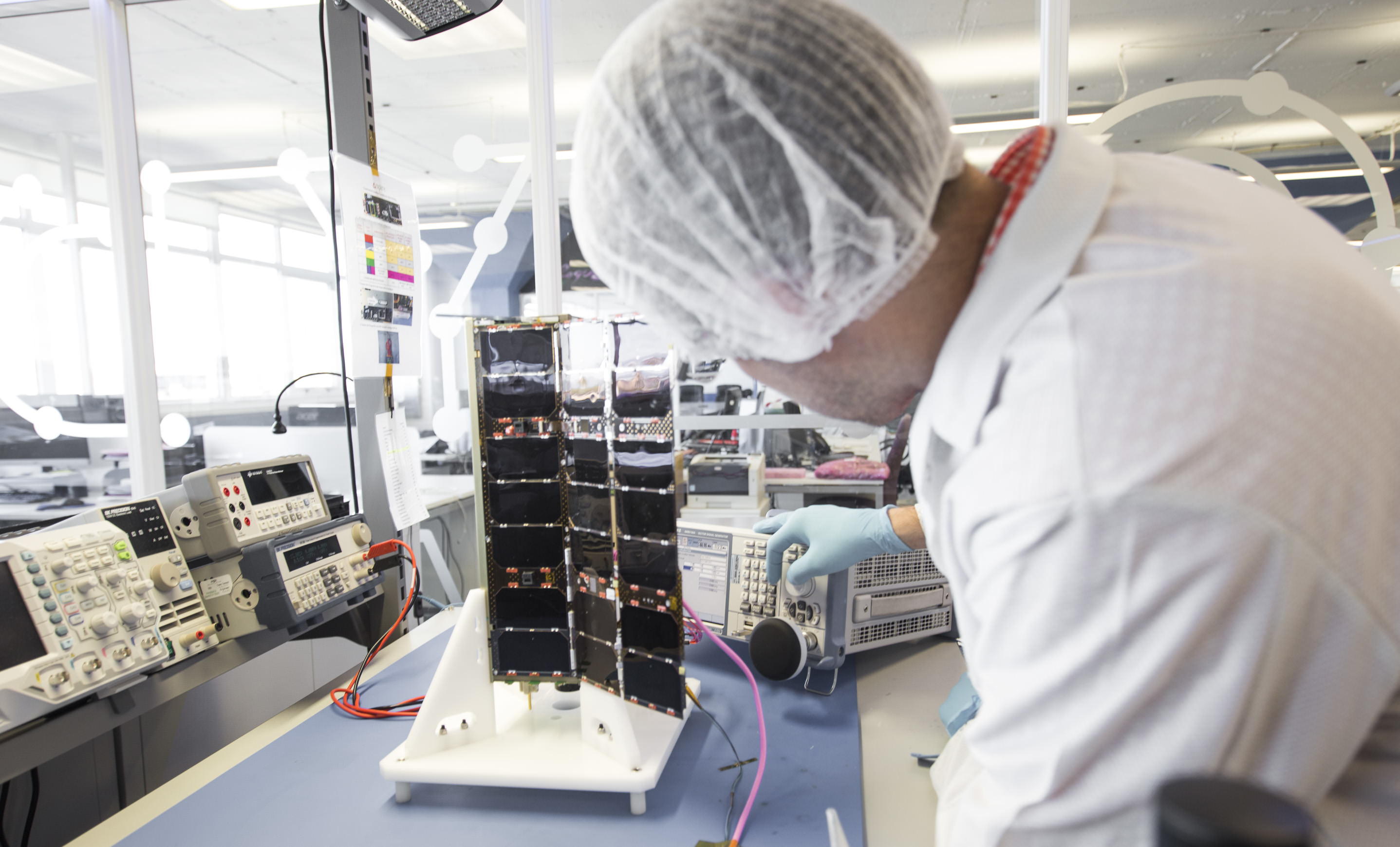
The Image below shows a Spire nano satellite undergoing testing in the lab. Please Credit Spire.