Images represent new features on the Global Fishing Watch platform, web-based interactive map.
For more information, contact:
Kimbra Cutlip
[email protected]
443-871-1632
RIGHT CLICK ON IMAGES AND SELECT “SAVE IMAGE AS” TO DOWNLOAD
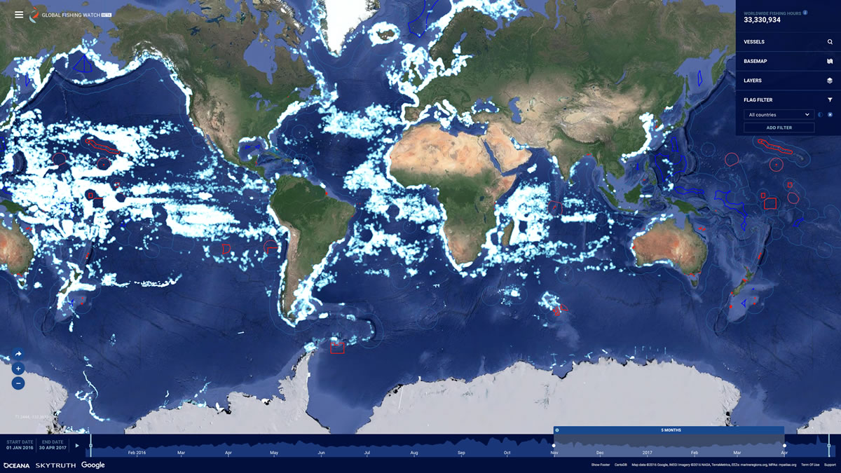
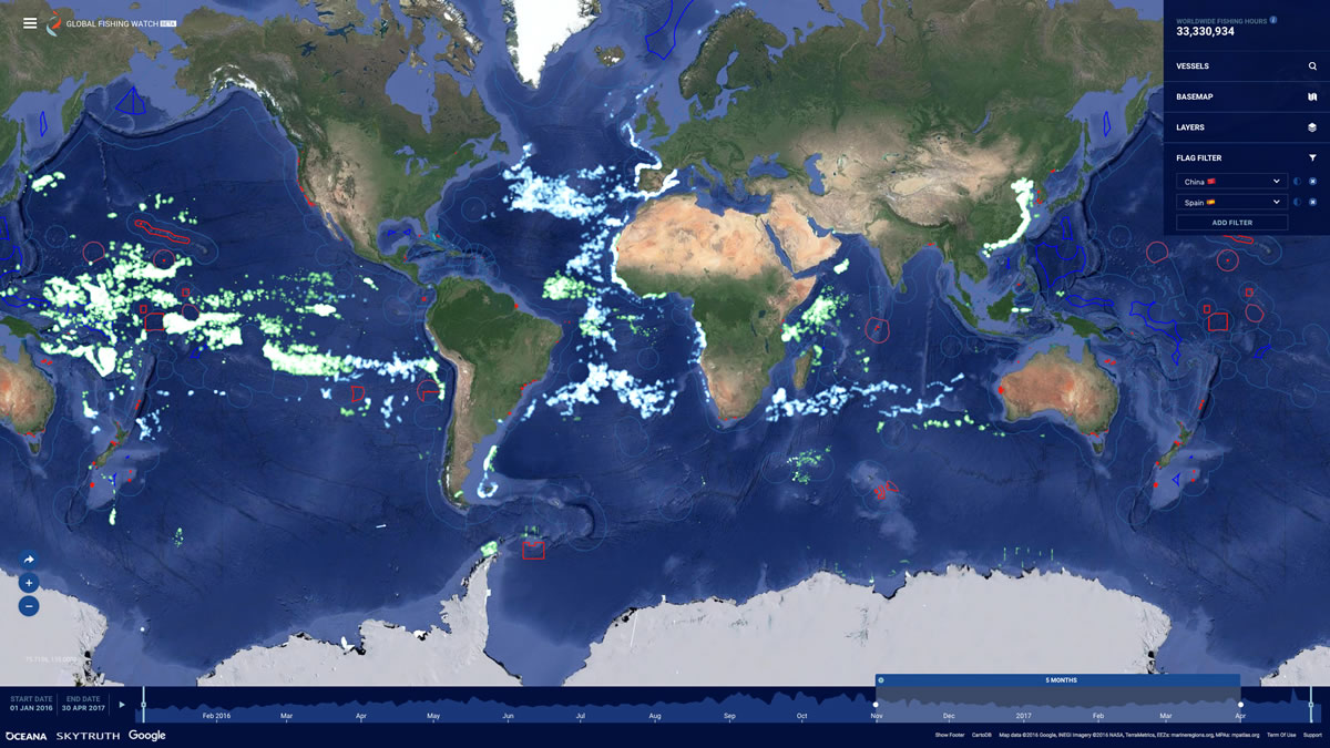
BELOW: This image shows the new map interface. Each lighted point on the map reveals a fishing vessel actively engaged in fishing over a sixth month period From November 1, 2016 through April 2017.
The image below shows fishing activity for specific flag-state fleets over a sixth month period From November 1, 2016 through April 2017. Light green shows all Chinese commercial fishing vessels and blue shows all Spanish commercial fishing vessels.
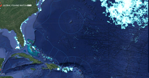
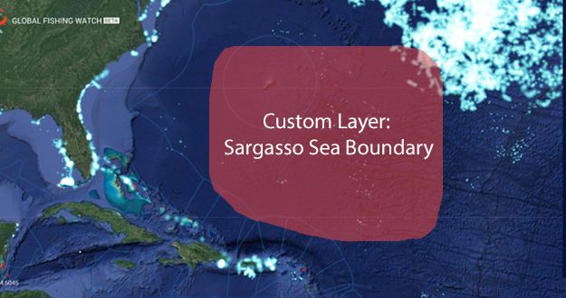
The still image and animated Gif below and the show a user-added custom layer of the Sargasso Sea boundary over the Global Fishing Watch heat map. Each lighted point on the map reveals a fishing vessel actively engaged in fishing over a sixth month period From November 1, 2016 through April 2017.
User Added Custom Layer jpg
User Added Custom Layer animated Gif